This outing looks at local and regional history from the eastern start of the Iron Horse Trail just across the trestle on the east side of Waskatenau Trestle. This trestle was not included in the land exchange between CN and Northeast Municorr, the company that owns the land which is owned by 10 municipalities.


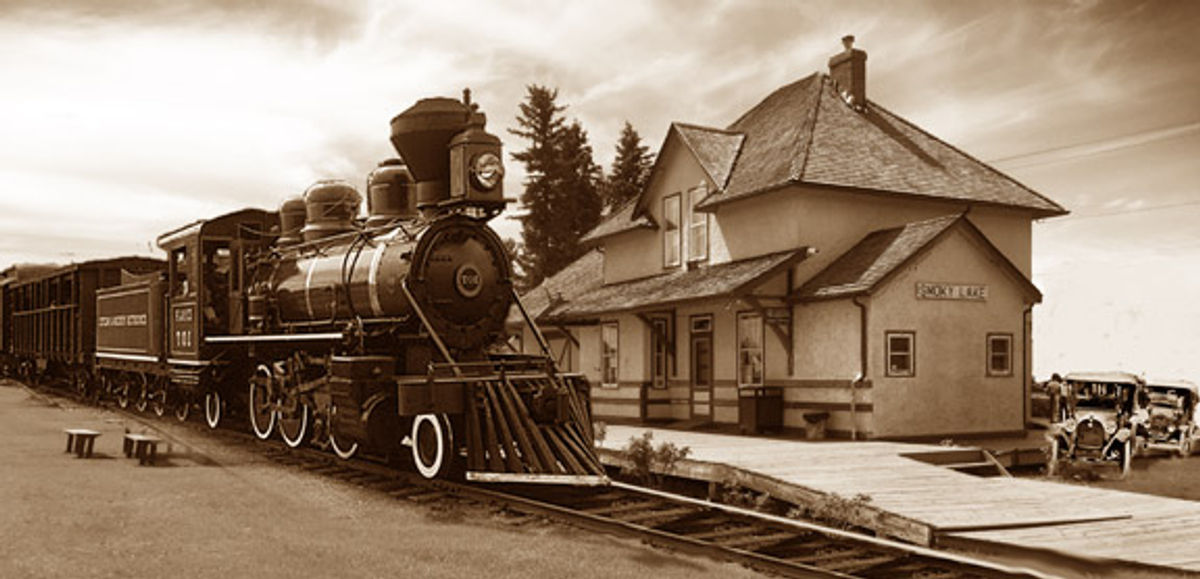
Waskateneau to Smoky Lake History Outing
Outing
0 Reviews
Share
Favorite
Social
Additional Information
Allowed Access
Bicycles
E Bikes
Horses
Pedestrians
Activities
Atv Riding
Bike Touring
Biking
Birdwatching
Cross Country Skiing
Dog Walking
E Biking
Geocaching
Horseback Riding
Hiking
Road Biking
Snowmobiling
Walking
Rules & Regulations
Carry Out Trash
Stay On Trail
Stewardships
 Owned byAlberta's Iron Horse Trail