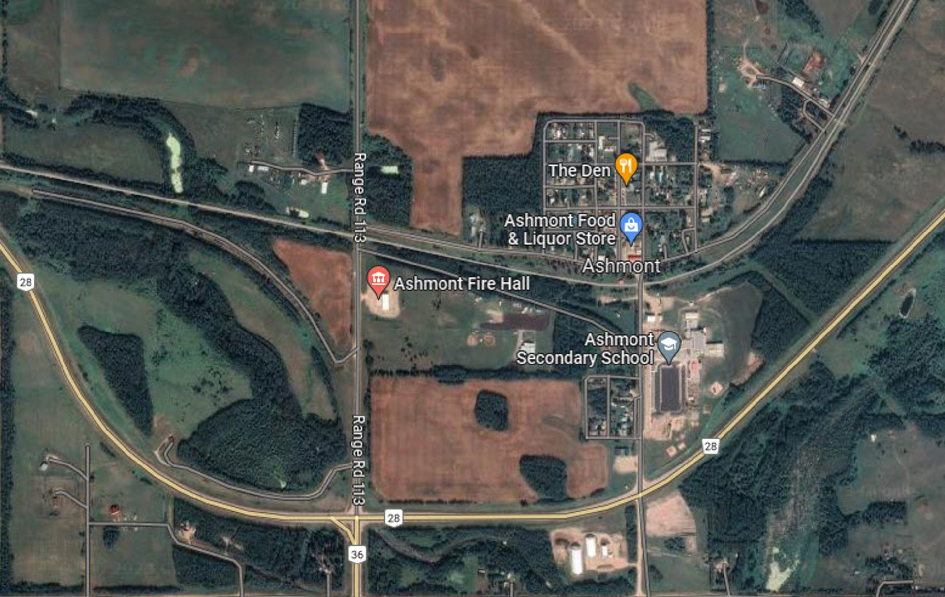
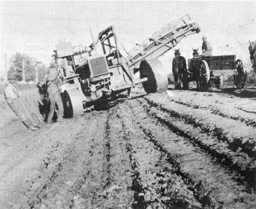
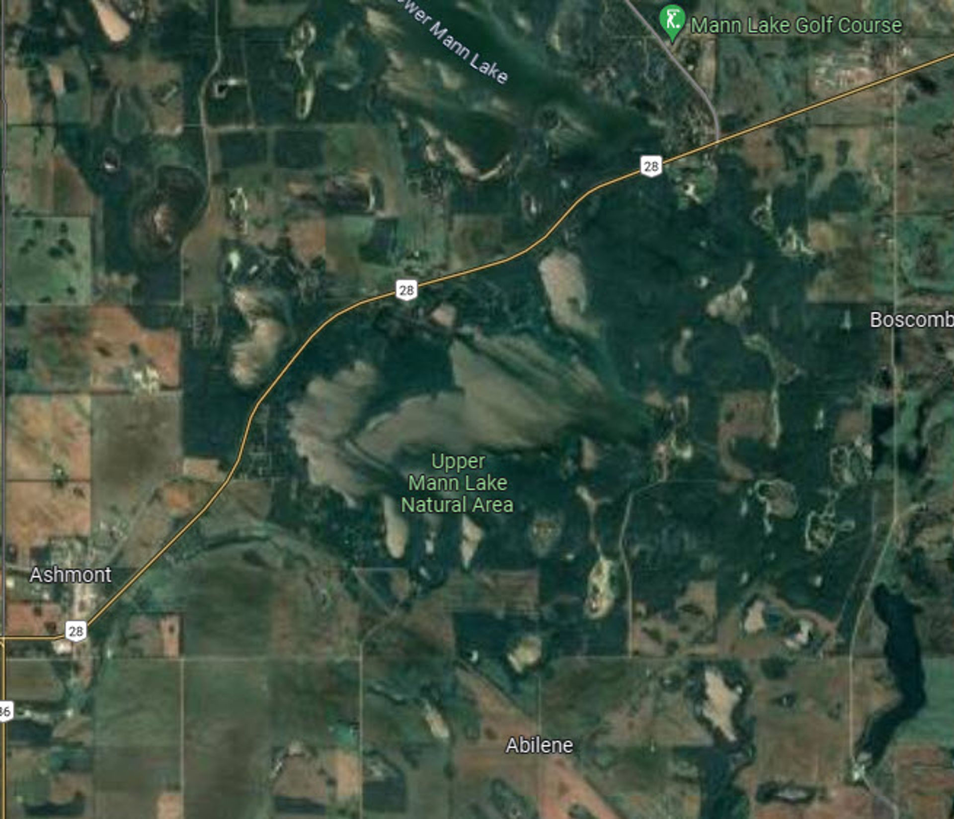
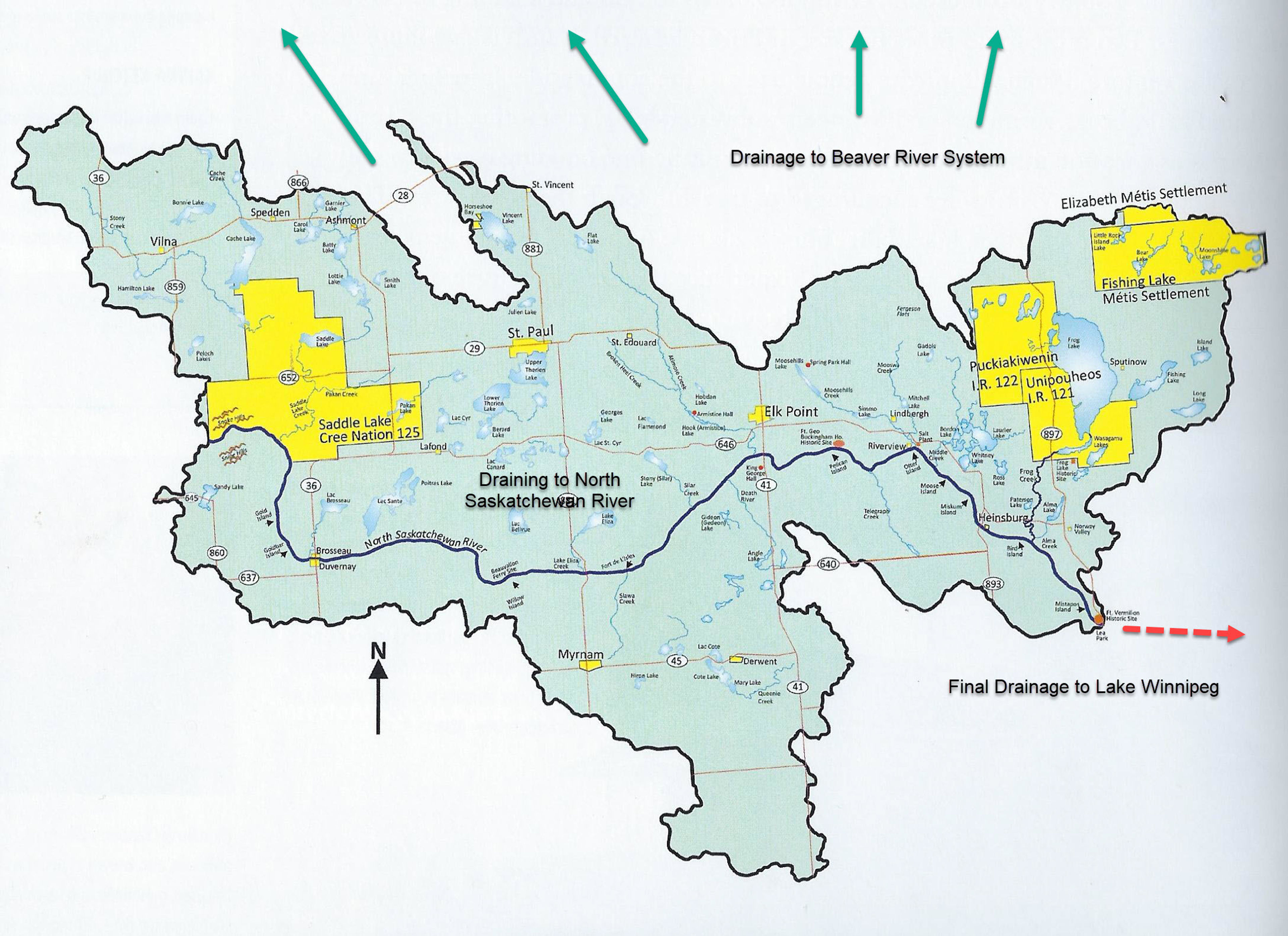
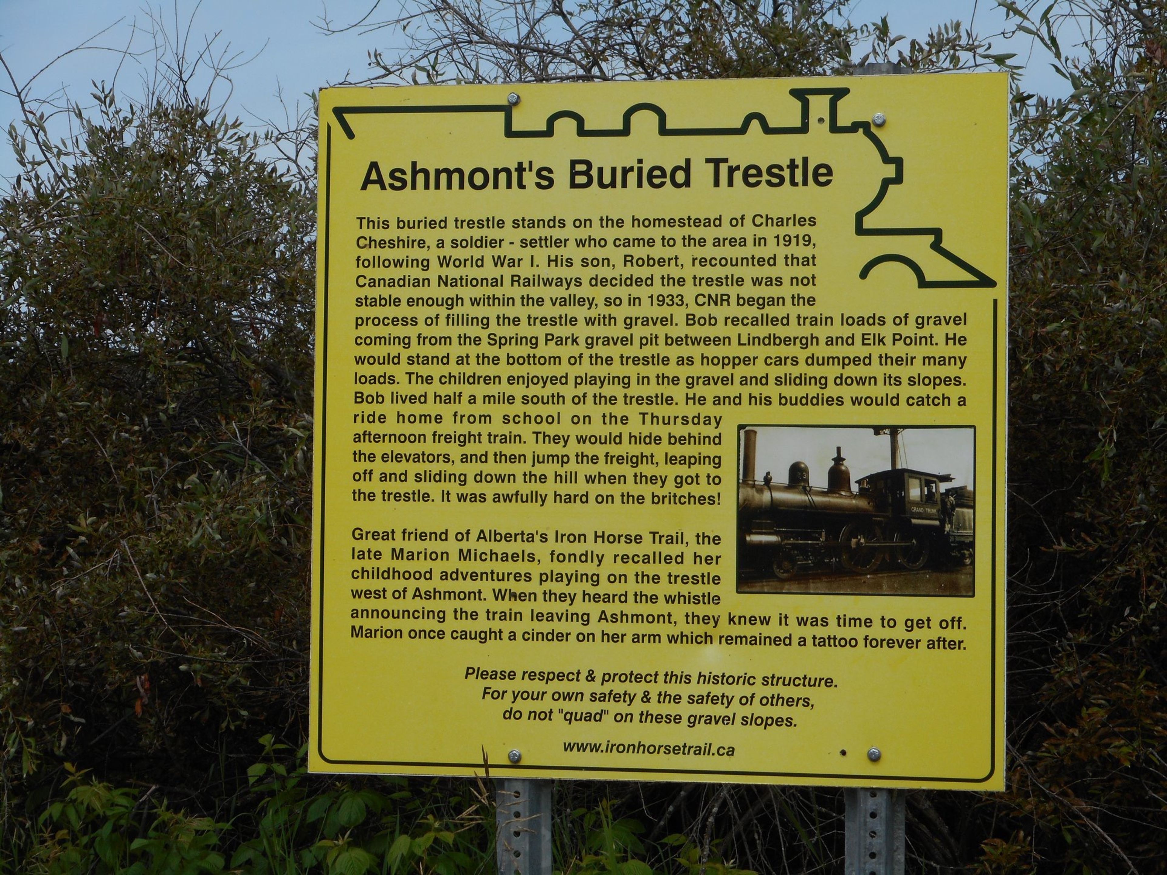
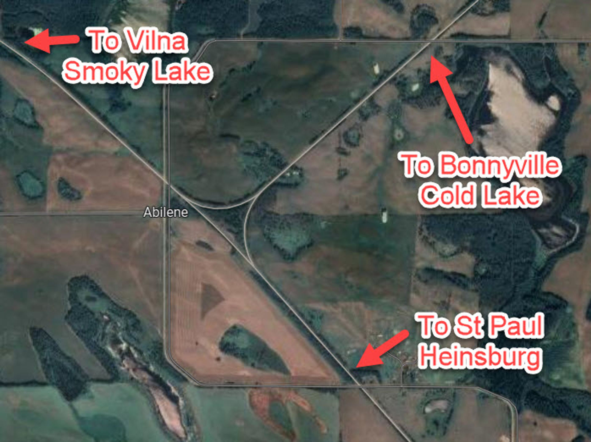
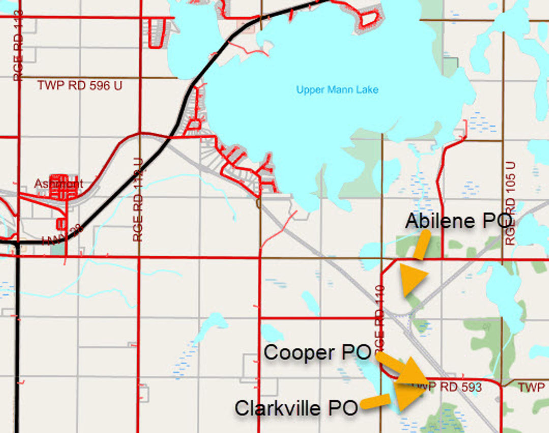
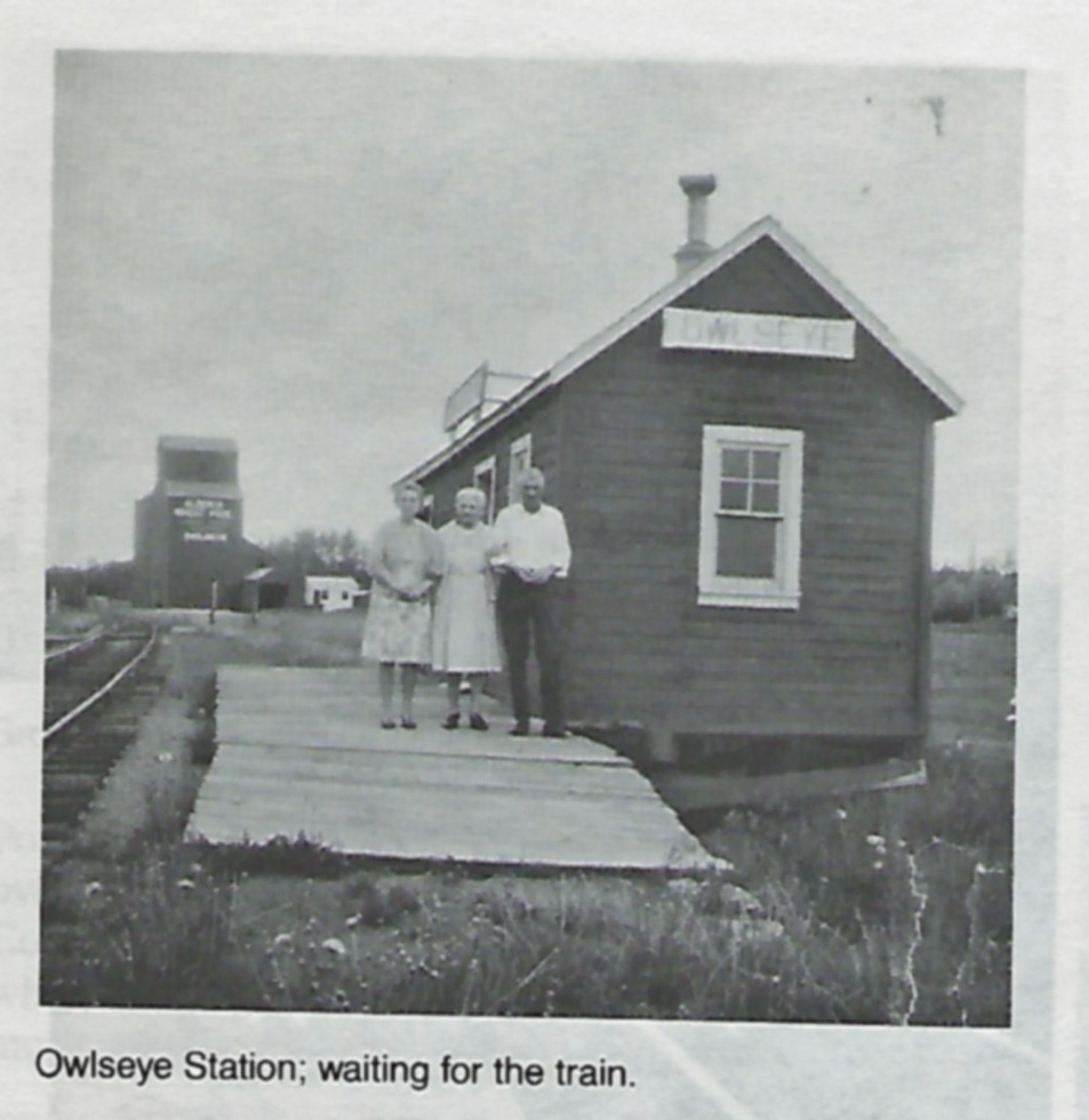
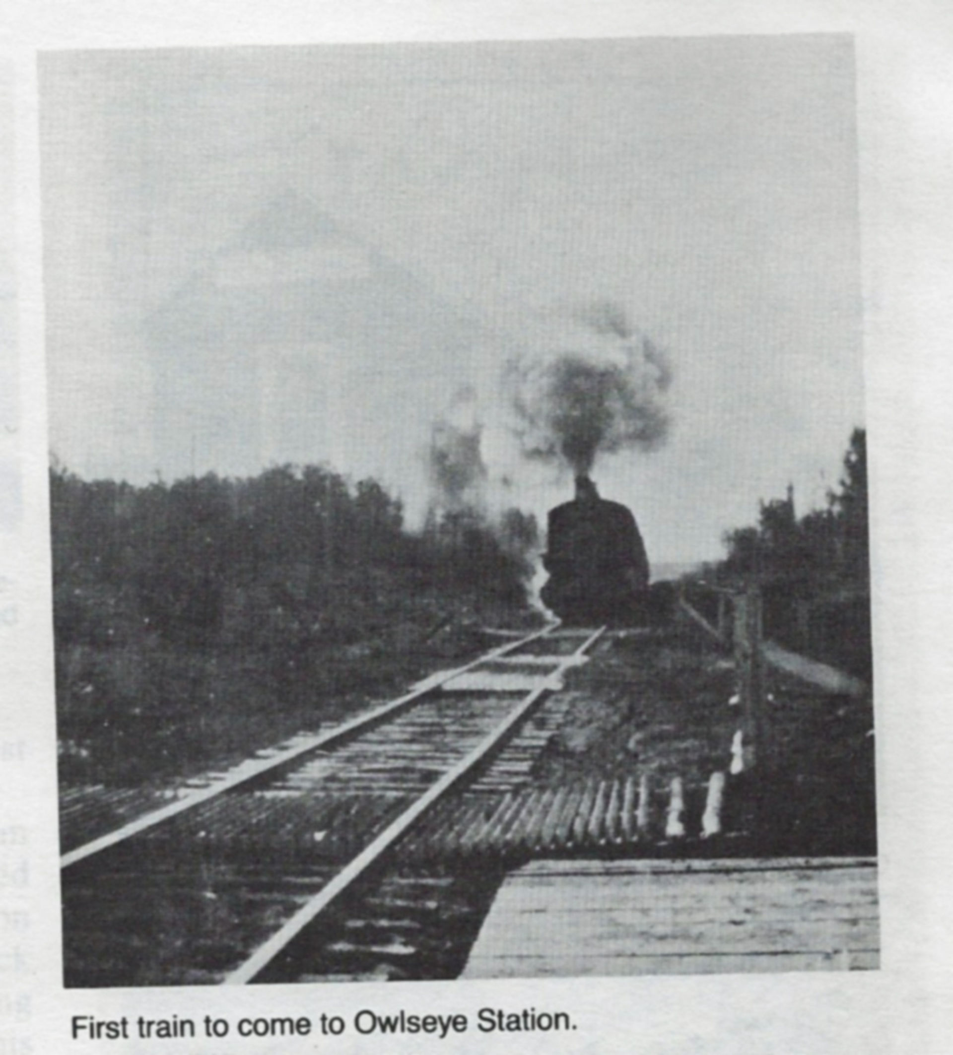
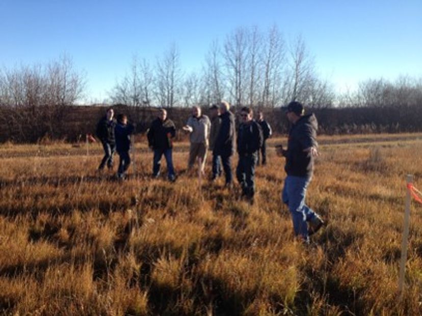
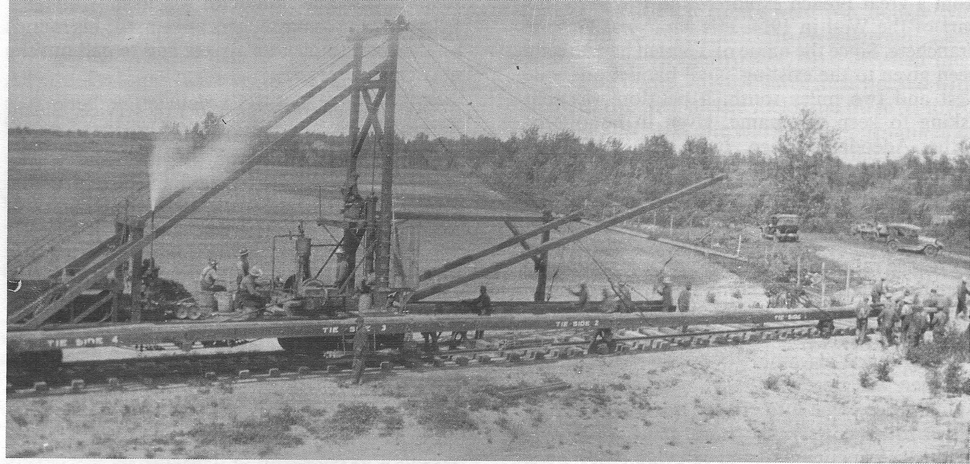
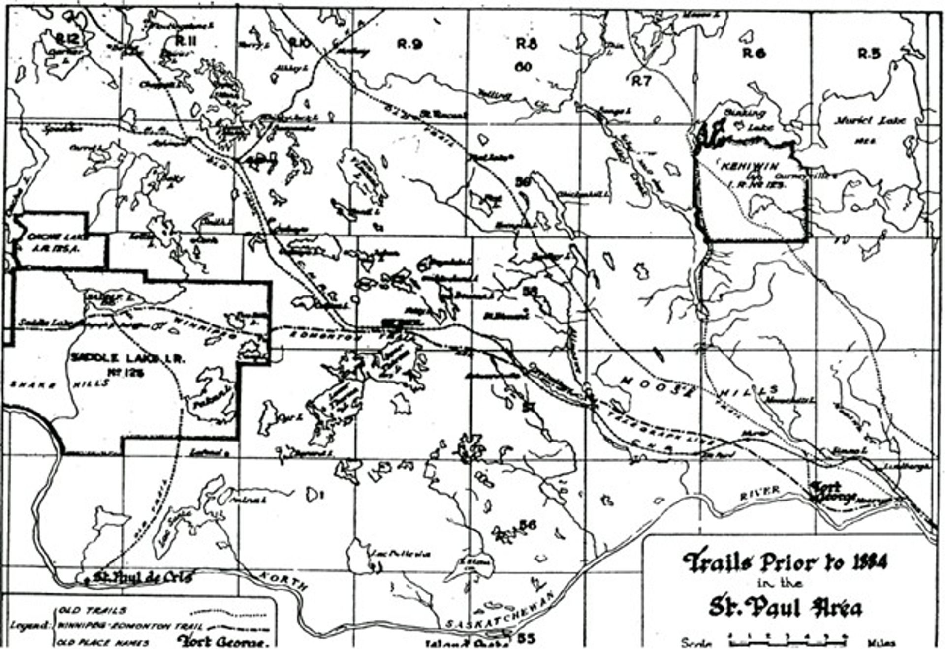
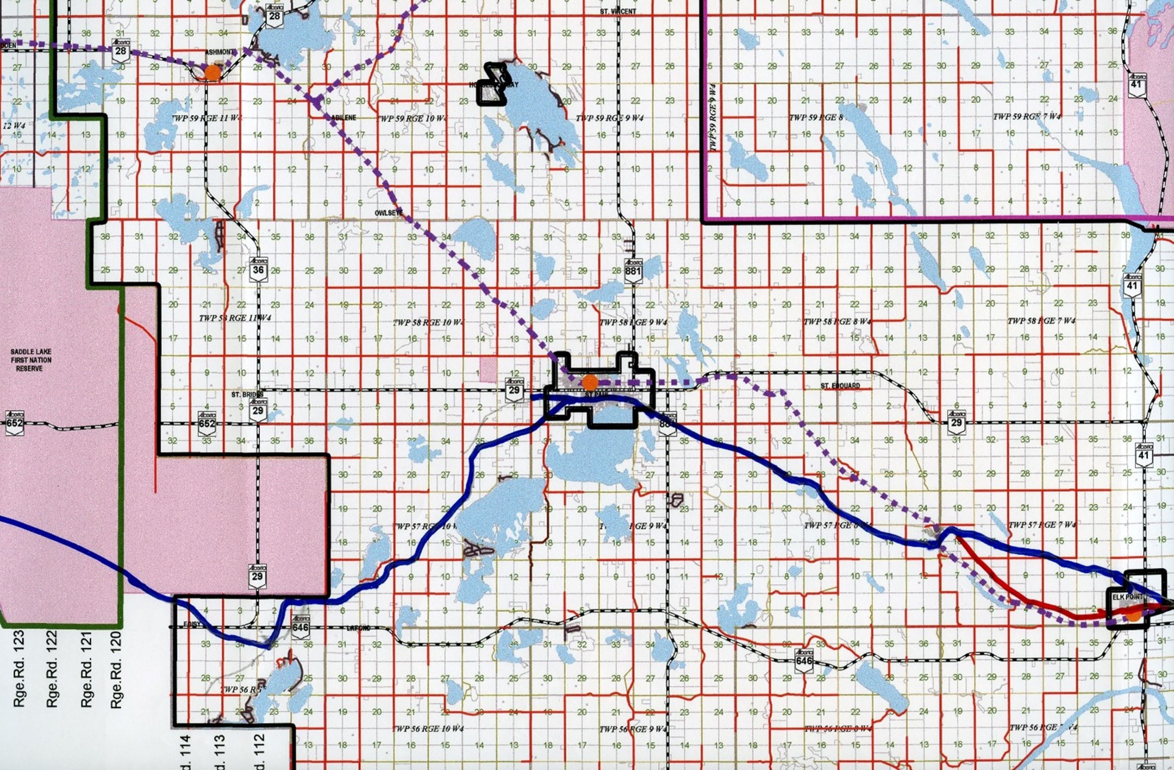
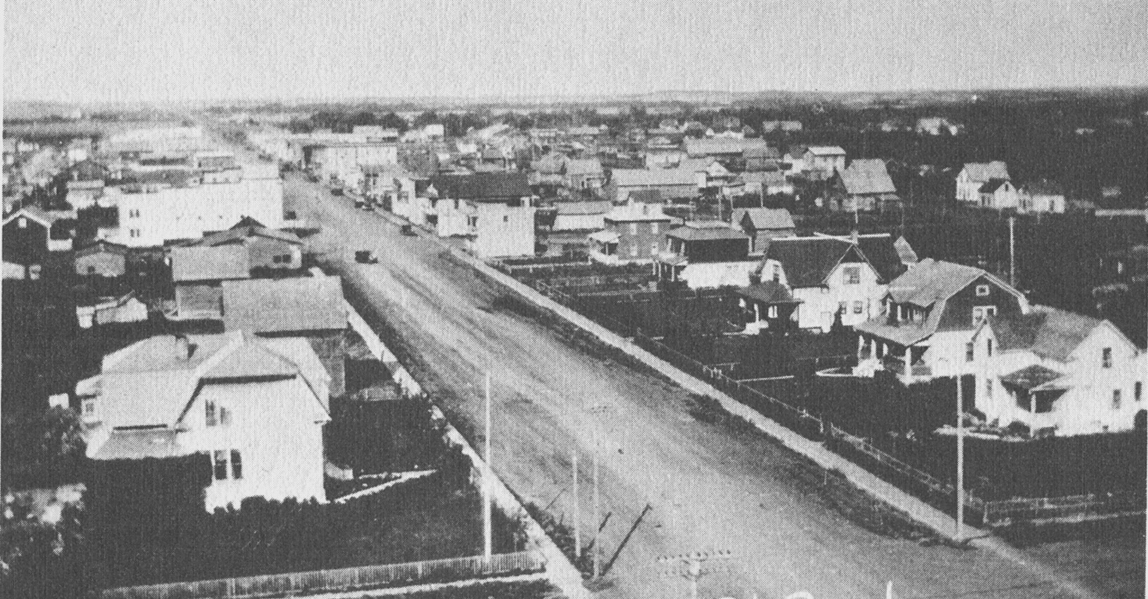
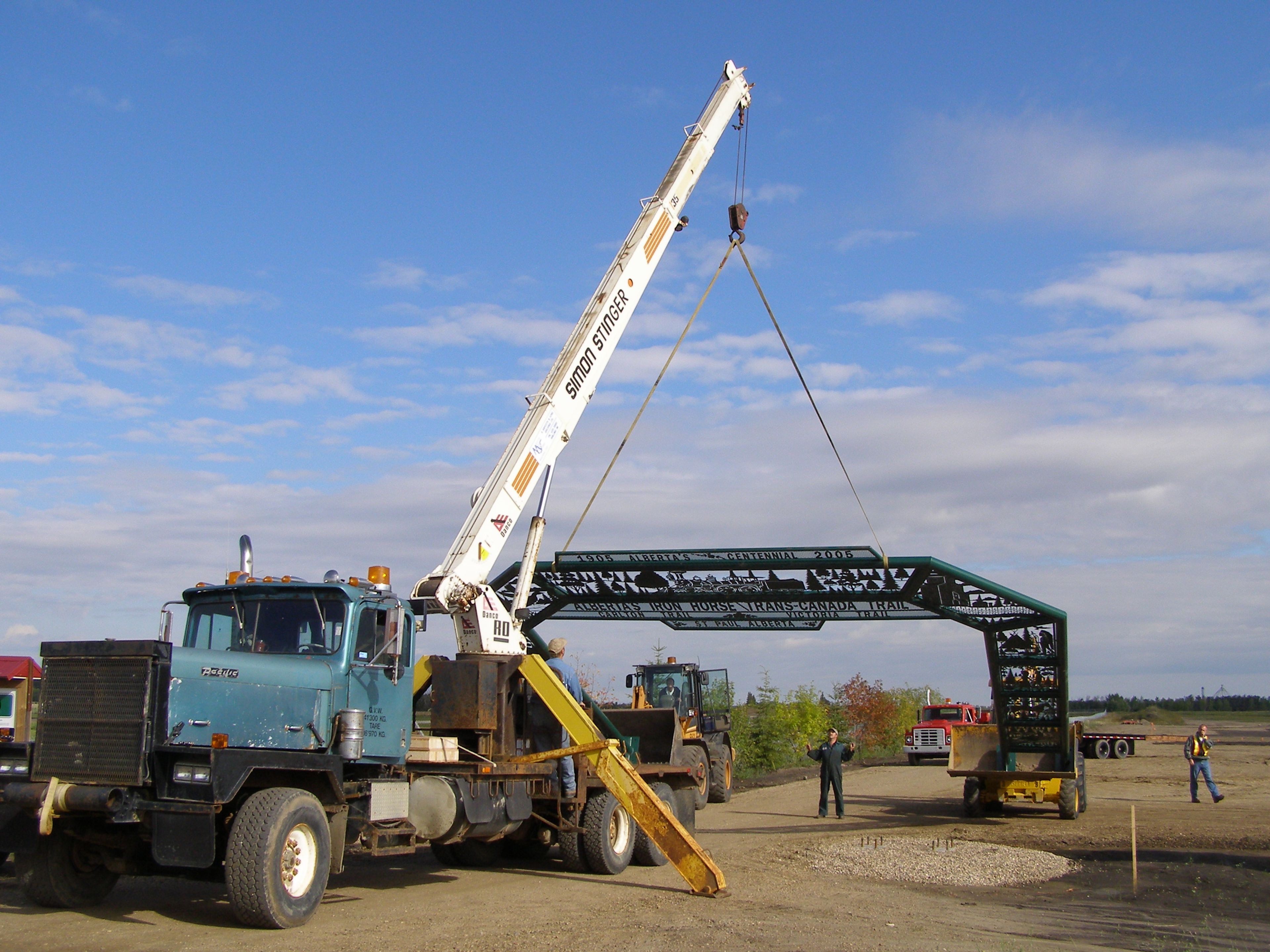
This Outing follows the height of land from Ashmont to St Paul showing a bit about the regional history, particularly the triangle junction at Abilene, which was an important junction for the railway and for the Iron Horse Trail.

Ashmont to St Paul History Outing
Outing
0 Reviews
Share
Favorite
Social
Stewardships
 Owned byAlberta's Iron Horse Trail