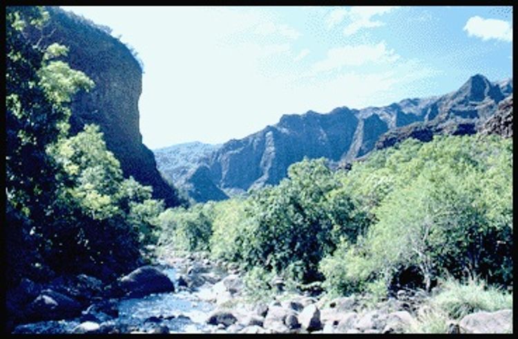
There are two entryways to this trail. One is at the end of Menehune Road in Waimea town and the other is from the bottom of the Kukui Trail. This is a route that follows the Waimea River through Puʻu Ka Pele Forest Reserve. This trail fords the Waimea River several times so be prepared to get wet when crossing the river.
Additional Information
Allowed Access
Bicycles
Dogs
Horses
Pedestrians
Activities
Hiking
Horseback Riding
Mountain Biking
Rifle Hunting
Road Biking
Rules & Regulations
Carry Out Trash
Dogs On Leash
No Campfires
No Motorized
No Motorized Wheeled Vehicles
Pack Out Dog Waste
Stay On Trail
Activities
- Bicycle
- Camping
- Dog Hunting
- Equestrian
- Hiking
- Hunting
- Pedestrian
- Swimming
Amenities
- Campsites
- Firepit
- Picnic Table
- Restroom
Features
- Nature Study
- Open Views
- Sensitive Area
- Stream
Hazards
- Bees
- Dangerous Cliff
- Dangerous Footing
- Flash Flood
- Hunting Area
- Landslides
Mountain Bikers
Always yield to hikers. Do not slide around corners or slide down the trail. Careless mountain biking damages the trail and causes erosion. If accidents are reported or damage to the trail is extreme, the trail may be closed to mountain bikers. This trail is not an easy mountain bike trail.
Dog Owners
Hunting may be in progress on or near this hiking trail. Hunting dogs may be off-leash while engaged in the hunt. Hikers must keep their dogs leashed at all times and remove dog waste while on this trail.
Simple Trail Tips
- Stay on the trail.
- Check the weather
- Watch the time
- Avoid undue risk
- Read all posted signs
- Respect other trail users
- Pack out at least what you pack in
Prohibited
- No Alcohol
- No Commercial
- No Motorized Vehicles
- No Open Fires
Special Conditions
Do not use any trail or access road that is not delineated by name and color and that may also be displayed on these maps. The marked features are managed for public recreational use. Other trails or roads that branch off from the public features may be on private property, and are not managed for any public recreational use. Access is subject to adjacent landowner approval, and if used without authorization, you will be trespassing and possibly putting yourself at risk.