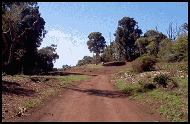
This road provides access to Hunting Unit "A" and "J", Kekaha Game Management Area, Lapa Picnic Area and the Contour Road. It passes from Waimea Canyon State Park, through Puu ka Pele Forest Reserve, and into the Kekaha Game Management Area.
Additional Information
Allowed Access
Bicycles
Dogs
Horses
Pedestrians
Activities
Hiking
Horseback Riding
Mountain Biking
Rifle Hunting
Rules & Regulations
Carry Out Trash
Dogs On Leash
Pack Out Dog Waste
Stay On Trail
Hazards
- Hunting Area
Features
- 4-Wheel Drive
Directions
Access this road via Highway 550 between mile markers 11 and 12. Turn West along the unpaved road.
Simple Trail Tips
- Stay on the trail.
- Check the weather
- Watch the time
- Avoid undue risk
- Read all posted signs
- Respect other trail users
- Pack out at least what you pack in
Dog Owners
Hunting may be in progress on or near this hiking trail. Hunting dogs may be off-leash while engaged in the hunt. Hikers must keep their dogs leashed at all times and remove dog waste while on this trail.
Mountain Bikers
Always yield to hikers. Do not slide around corners or slide down the trail. Careless mountain biking damages the trail and causes erosion. If accidents are reported or damage to the trail is extreme, the trail may be closed to mountain bikers. This trail is not an easy mountain bike trail.
Activities
- Bicycle
- Equestrian
- 4-wheel drive
- Hunting
- Pedestrian
Special Conditions
Hunting license required for entry. The gate for vehicular traffic below the Contour Road is closed during non-hunting days. Caution should be used during weekends and state holidays when hunting activities are open. Non-hunters are advised to wear bright colored clothing and stay on established trails. No person may enter the Kekaha Game Management Area except for hunters with valid hunting licenses during legal hunting days. This road may also be closed for HIGH FIRE DANGER. Call the Kauai Forestry Office at 274-3433 for any notices. Do not use any trail or access road that is not delineated by name and color and that may also be displayed on these maps. The marked features are managed for public recreational use. Other trails or roads that branch off from the public features may be on private property, and are not managed for any public recreational use. Access is subject to adjacent landowner approval, and if used without authorization, you will be trespassing and possibly putting yourself at risk. Downloadable resources are provided below.
Contact Information
Stewardships
 Managed ByHawaiʻi Division of State Parks
 Managed ByNā Ala Hele Trail & Access Program