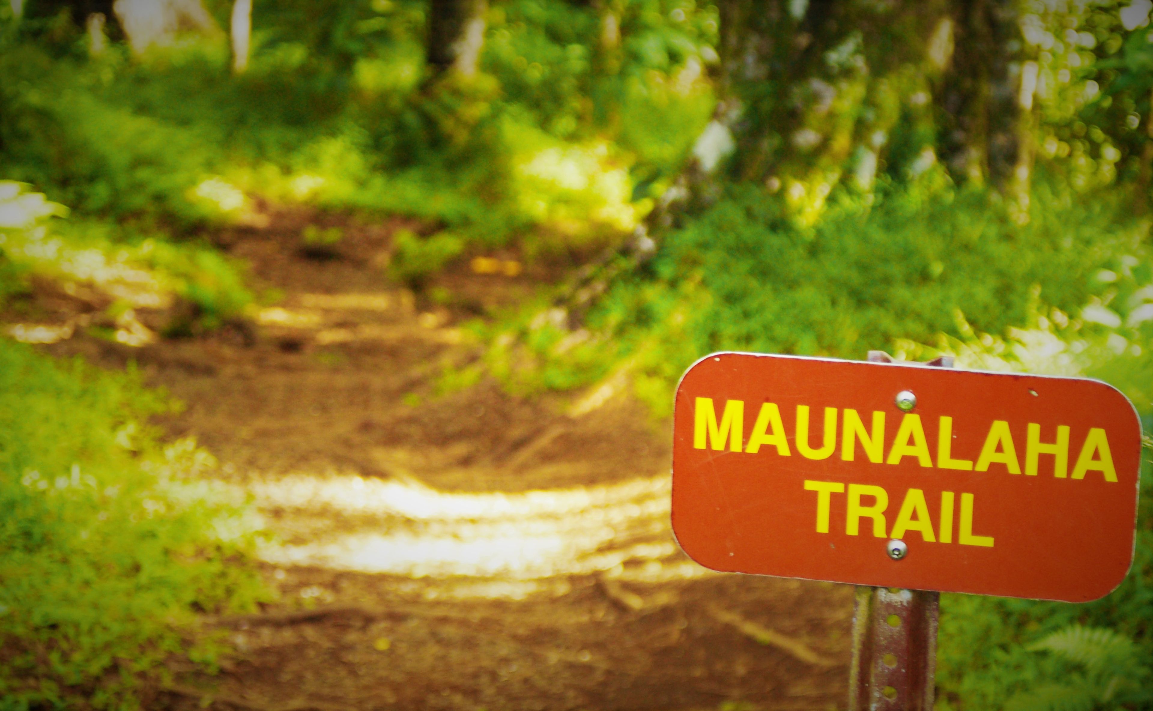
If driving from the intersection of Nehoa and Makiki Streets, proceed mauka and turn left on Makiki Heights Drive. Proceed for approximately 0.5 mile until the road makes a sharp left turn (look for a row of mailboxes on the right side of the road). Proceed straight ahead past the mailboxes through a green gate. There is a sign that says, "Makiki Forest Recreation Area." Continue shortly up the road till you see a gravel parking lot on your left. Parking for the trail is available in this lot. Proceed up the road on foot till you reach a stone building (public restroom) on your right. Turn right just before the building and the trail head begins right after the bridge.
Please note that the Maunalaha Trail (in yellow) is part of the Honolulu-Mauka Trail Network, comprising of 18 interconnected trails (in turquoise). The system may be accessed via the Makiki Arboretum Trail (dark blue) as part of an extended hike. The shortest route from the Makiki Arboretum Trail to the Maunalaha trailhead is 0.25 miles.
From the gravel parking lot continue along the paved road on foot. After passing Hawai`i Nature Center on the right, reach a signed junction. Turn right on a driveway leading to the Kanealole and Maunalaha Trails. Pass restrooms, a boot cleaning station, and a drinking fountain. Cross Kanealole Stream on a bridge and turn left upstream on a gravel path. Nearby is a bulletin board with trail information. Pass several lo`i (kalo or taro terraces) on the left. Reach another signed junction by a bench and several Cook pines. Turn right onto the Maunalaha Trail. Ascend a side ridge on two switchbacks following a line of pines. Gain the ridgeline and climb steeply through a eucalyptus forest. The Maunalaha Trail ends a signed junction with the `Ualaka`a and Makiki Valley Trails. Nearby is a posted trail map and a bench.


