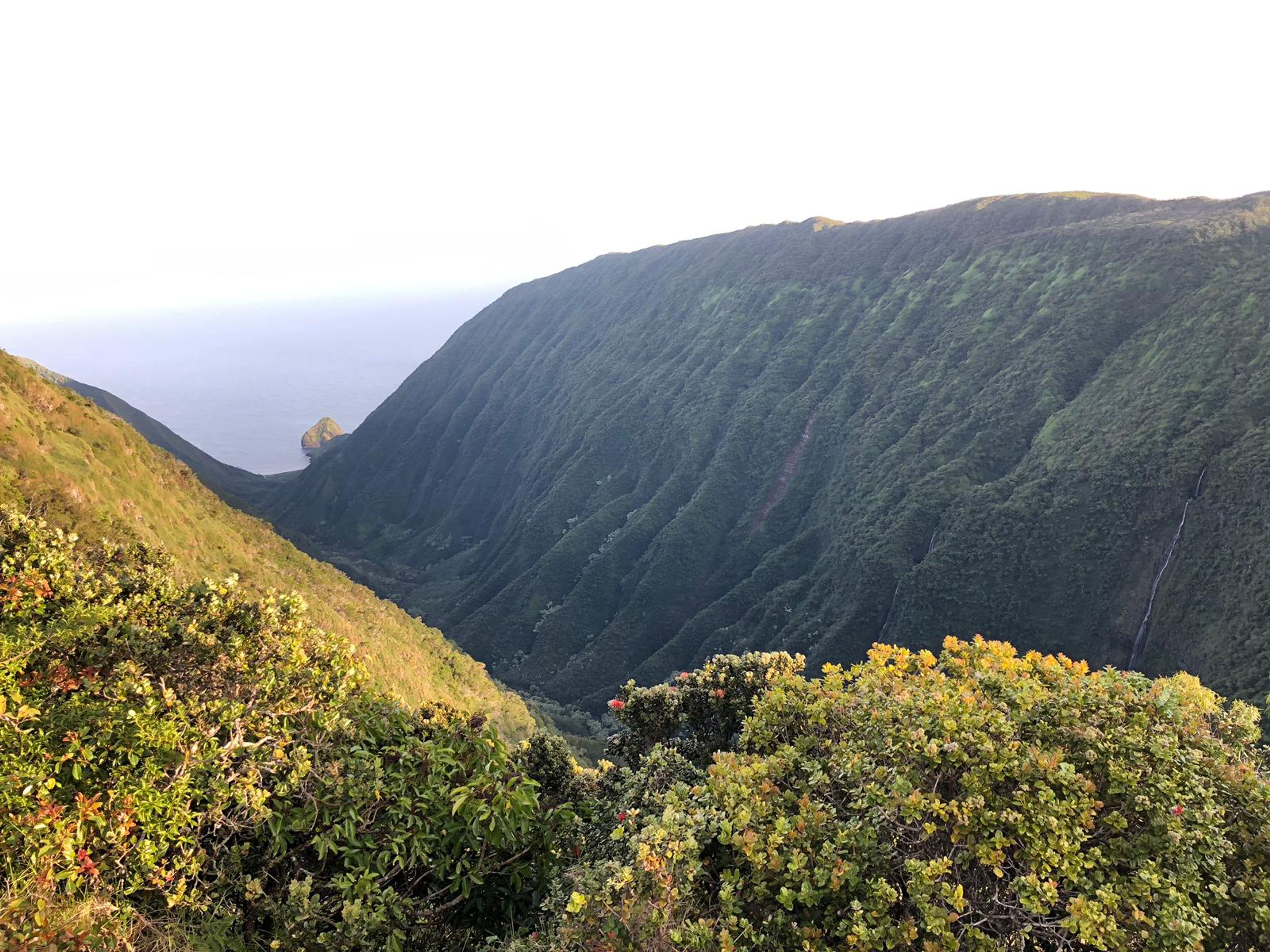
This road leads into and through the Moloka‘i Forest Reserve. The initial 5.5 miles of road passes through pasture lands before reaching the forest reserve boundary. Inside the forest reserve, the road travels another 3.3 miles to the Lua Moku Iliahi (Sandalwood Measuring Pit). This historic site is a 75' long boat-shaped pit dug in the early 1800's when the sandlewood trade was flourishing. One mile further along you reach the Waikolu Lookout and Picnic Area. This recreation area consists of a picnic area with toilet facilities (but no water) and a lookout on the southwest rim of Waikolu Canyon. The lookout includes a magnificent panorama of Waikolu Canyon from the verdant cliffs of the upper gorge with waterfalls and plunge pools. Sea cliffs and offshore islands can be seen at the mouth of the canyon. The view is often obscured in the afternoons when tradewind clouds envelop the upper canyon. Wear bright clothing. Be aware that you may encounter hunters who are hunting off the trail. Stay on trail.

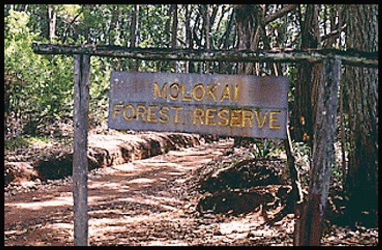
Maunahui Road (Moloka‘i Forest Reserve Road)
Trail in Moloka‘i Forest Reserve
Additional Information
Allowed Access
Activities
Rules & Regulations
Special Conditions
The roads and trails beyond the Waikolu Lookout are under the jurisdiction of the Nature Conservancy of Hawaii. Contact the Office Manager before entering and for further information about permitted activities. Hunting is allowed for wild goats, pigs and Axis deer in this area on Saturday, Sunday, and State holidays. Wear brightly colored clothing. Do not use any trail or access road that is not delineated by name and color and that may also be displayed on these maps. The marked features are managed for public recreational use. Other trails or roads that branch off from the public features may be on private property, and are not managed for any public recreational use. Access is subject to adjacent landowner approval, and if used without authorization, you will be trespassing and possibly putting yourself at risk. Downloadable resources are provided below.
Activities
- Bicycle
- Equestrian
- 4-wheel drive
- Pedestrian
Amenities
- Campsites
- Parking
- Picnic Pavilion
- Restroom
Features
- Cultural Study
- Nature Study
Hazards
- Dangerous Cliff
- Dangerous Footing
- Flash Flood
- Hunting Area
Mountain Bikers
Always yield to hikers. Do not slide around corners or slide down the trail. Careless mountain biking damages the trail and causes erosion. If accidents are reported or damage to the trail is extreme, the trail may be closed to mountain bikers. This trail is not an easy mountain bike trail.
Directions
About 3.5 miles northwest of Kaunakakai on Highway 460, turn east onto Maunahui Road, across from the rock crusher. Continue 9.8 miles up this unpaved main road.
Simple Trail Tips
- Stay on the trail
- Check the weather
- Watch the time
- Avoid undue risk
- Read all posted signs
- Respect other trail users
- Pack out at least what you pack in