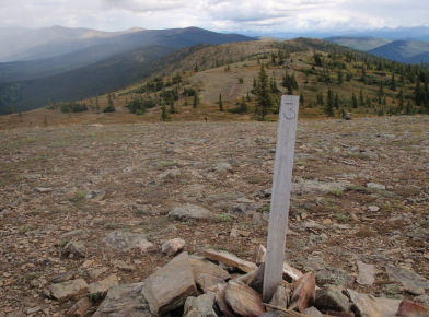
This route provides access to alpine tundra, views of surrounding mountains, and unique rock outcroppings called tors. The tors formed millions of years ago when molten rock pushed upward and cooled before it reached the earth’s surface. The surrounding earth slowly eroded, exposing the less erodible rock pinnacles.
Trail Access: The trail begins at the Angel Rocks
Trailhead at mi. 48.9 and ends at Chena Hot
Springs at mi. 56.5 Chena Hot Springs Road
Allowable Uses: Hiking, Horseback Riding
Distance: 8 mile traverse (one-way)
Total Elevation Gain: 1900 feet
Difficulty: Moderate/strenuous
For more information on Angel Rocks Horse Route, click here.