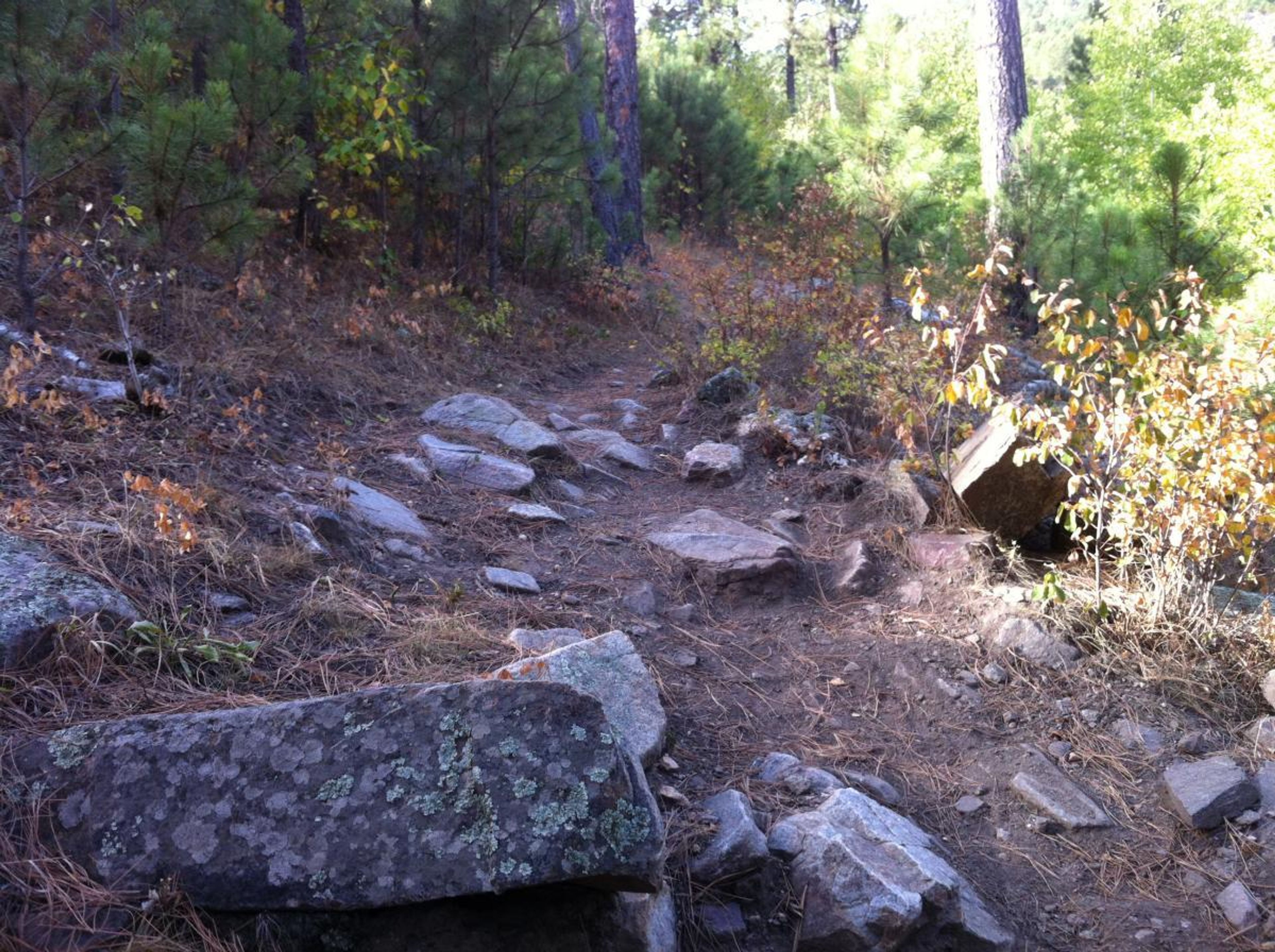
Centennial Trail provides a full range of non-motorized uses in a variety of natural settings. One 15 mile segment of the trail is currently open to ATV users. The trail passes through two state parks, BLM Lands, one national park and the forest. The trail passes near a national memorial and a national cemetery. Trai users will experience a full range of natural enviroments, including the open high plains, forest, meadow, riparian areas and rock outcrops. Elevation extremes are 3200 feet and 5800 feet. The averge elevation is around 5000 feet. Most steeper sections are short, less than half a mile long. Elevation changes between valley and ridgetop are typically 200 to 500 feet.

Centennial Trail
Point of Interest
0 Reviews
Claim
Share
Favorite
Social
Additional Information
Activities
Biking
Camping
Horseback Riding
Walking
Hiking
Trail Running
National Recreation Trail Details
Length: 111 Miles
Loop Trail: No
Primary Trail Type: Backcountry
Additional Trail Types: -
Agency: USDA Forest Service
Entry Fee: -
Fee Notes: -
Parking Fee: -
Permit Fee: -
Trail Use Notes:
None
Seasonal Use Notes:
None
Location: Black Hills National Forest
County: Meade, Pennington, Custer
State: SD
Townships: -
Driving Directions:
-
Average Grade: -
Maximum Grade: -
Elevation High: 5800 Feet
Elevation Low: 3200 Feet
Elevation Gain: -
Average Width: -
Minimum Width: -
Primary Surface: -
Additional Surfaces: -
Year Designated: 2005
Websites
Stewardships
 In Partnership WithAmerican Trails