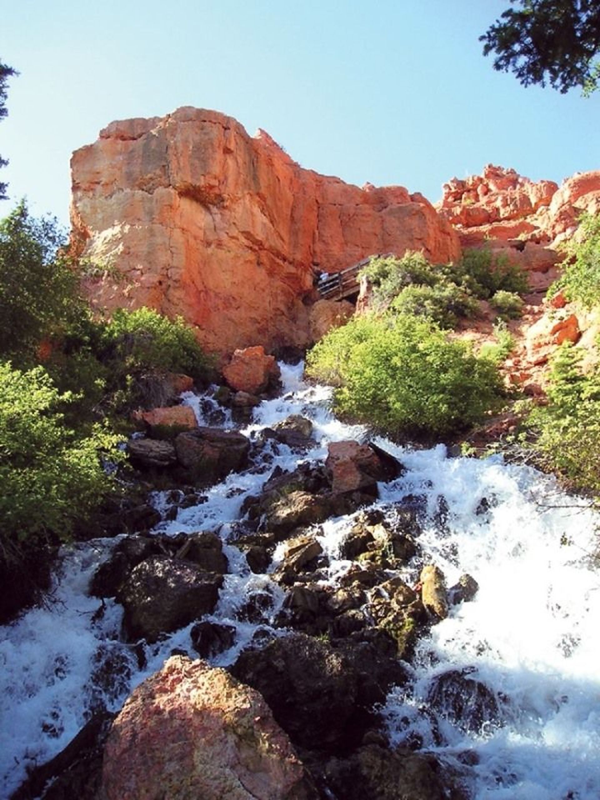
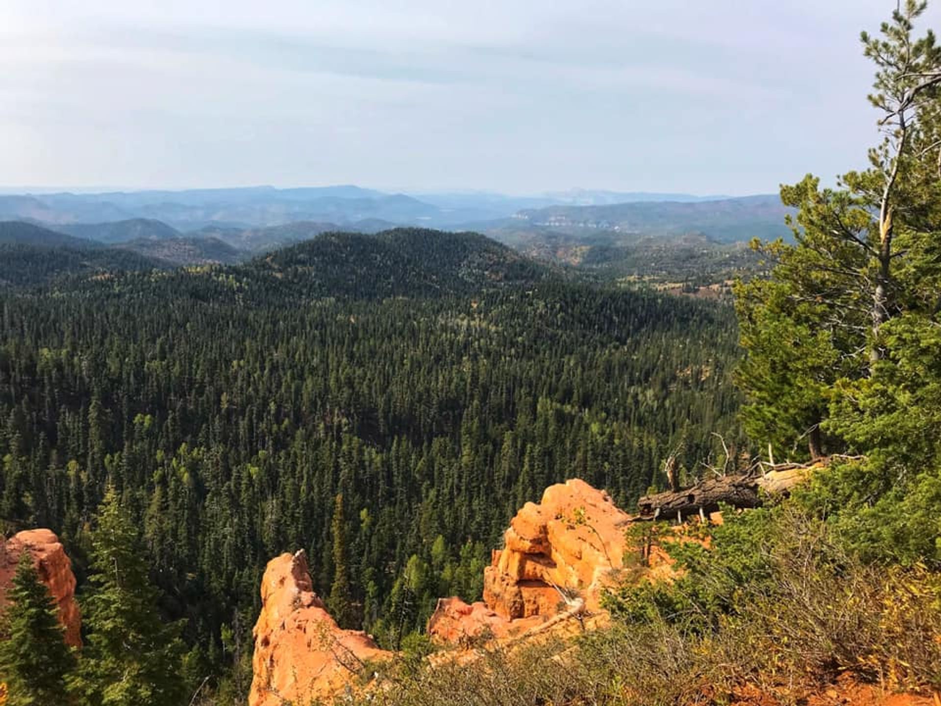
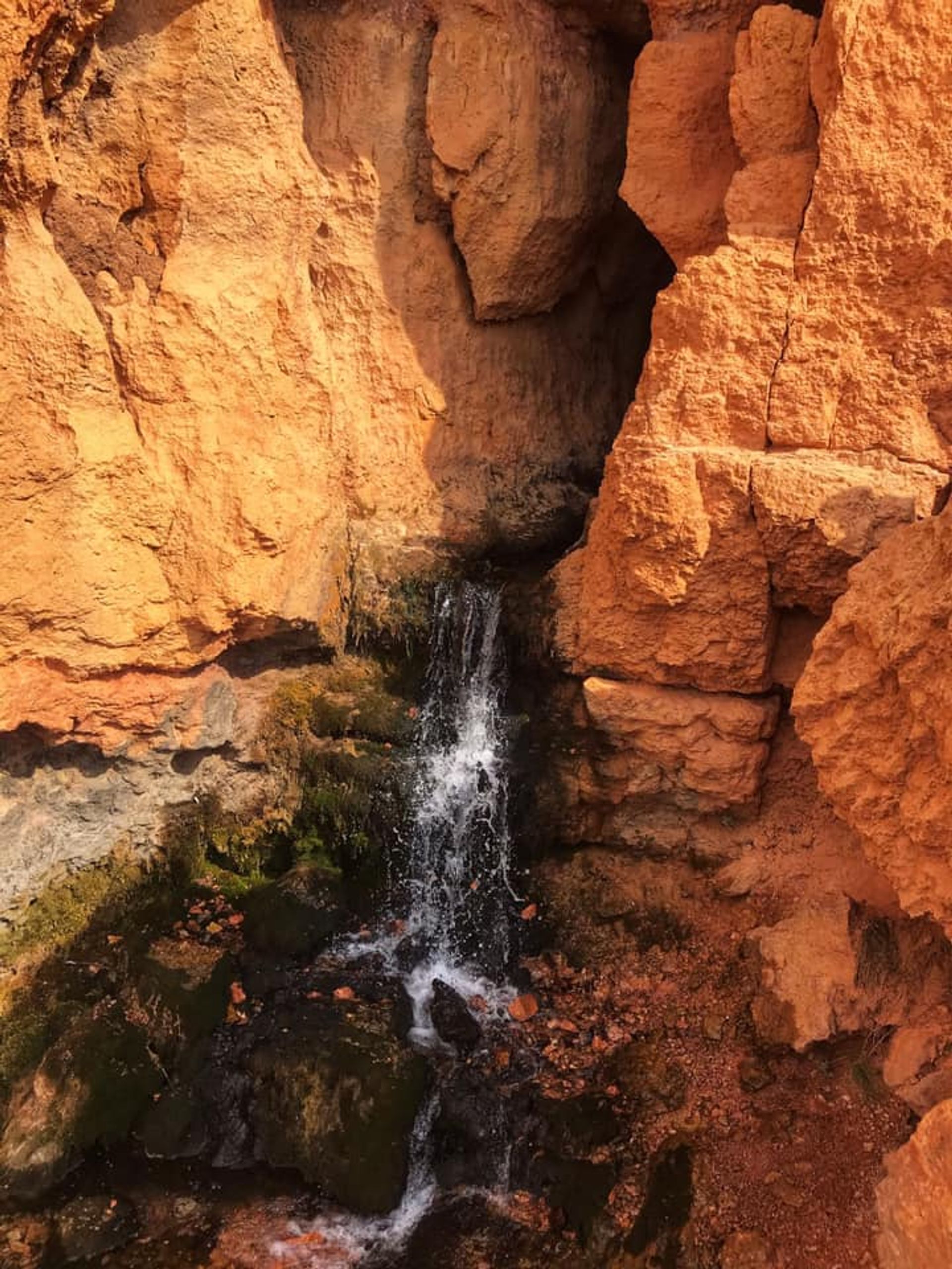
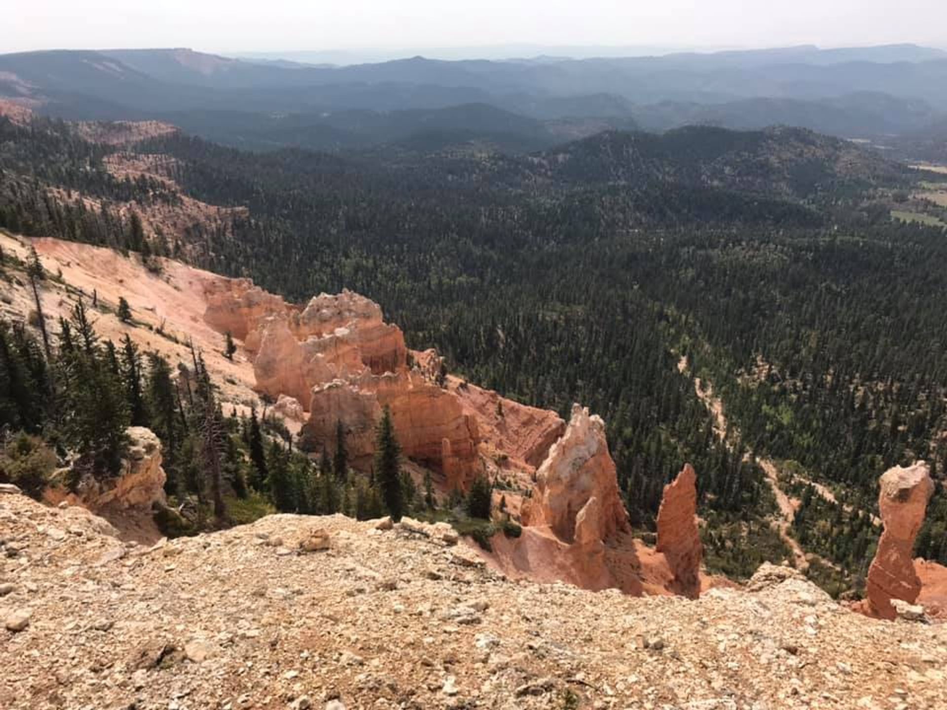
Cascade Falls is a short trail with scenic views of the Virgin River headwaters and Zion National Park. Foreground views include severely eroded pink and white limestone cliff formations. The waterfall at the end of the trail spills from a cave opening in the side of the cliff. The cave is a part of a network of lava tubes that partially drain Navajo Lake. The stream is part of the headwaters of the Virgin River responsible for the formation of Zion Canyon.

Cascade Falls
Point of Interest
0 Reviews
Claim
Share
Favorite
Social
Additional Information
Activities
Dog Walking
Walking
Hiking
Trail Running
Wildlife Watching
National Recreation Trail Details
Length: 0.5 Miles
Loop Trail: No
Primary Trail Type: Backcountry
Additional Trail Types: -
Agency: USDA Forest Service
Entry Fee: -
Fee Notes: -
Parking Fee: -
Permit Fee: -
Trail Use Notes:
None
Seasonal Use Notes:
None
Location: Cedar City Ranger District, In Dixie, 35 mi. SE of Cedar City, off SR 14 on Dry Valley Rd.
County: Kane
State: UT
Townships: -
Driving Directions:
The trailhead is located along Forest Road 054. From Hwy 14 on Cedar Mountain, take the Navajo Lake Road and then turn east onto Route 054. The route is signed.
Average Grade: 5%
Maximum Grade: 20%
Elevation High: 8900 Feet
Elevation Low: 8800 Feet
Elevation Gain: 81 Feet
Average Width: 42 Inches
Minimum Width: -
Primary Surface: Soil
Additional Surfaces: Soil, compacted
Year Designated: 1979
Websites
Documents
- 785_stelprdb5421214.pdf - USFS Trail Map/Overview
Stewardships
 In Partnership WithAmerican Trails