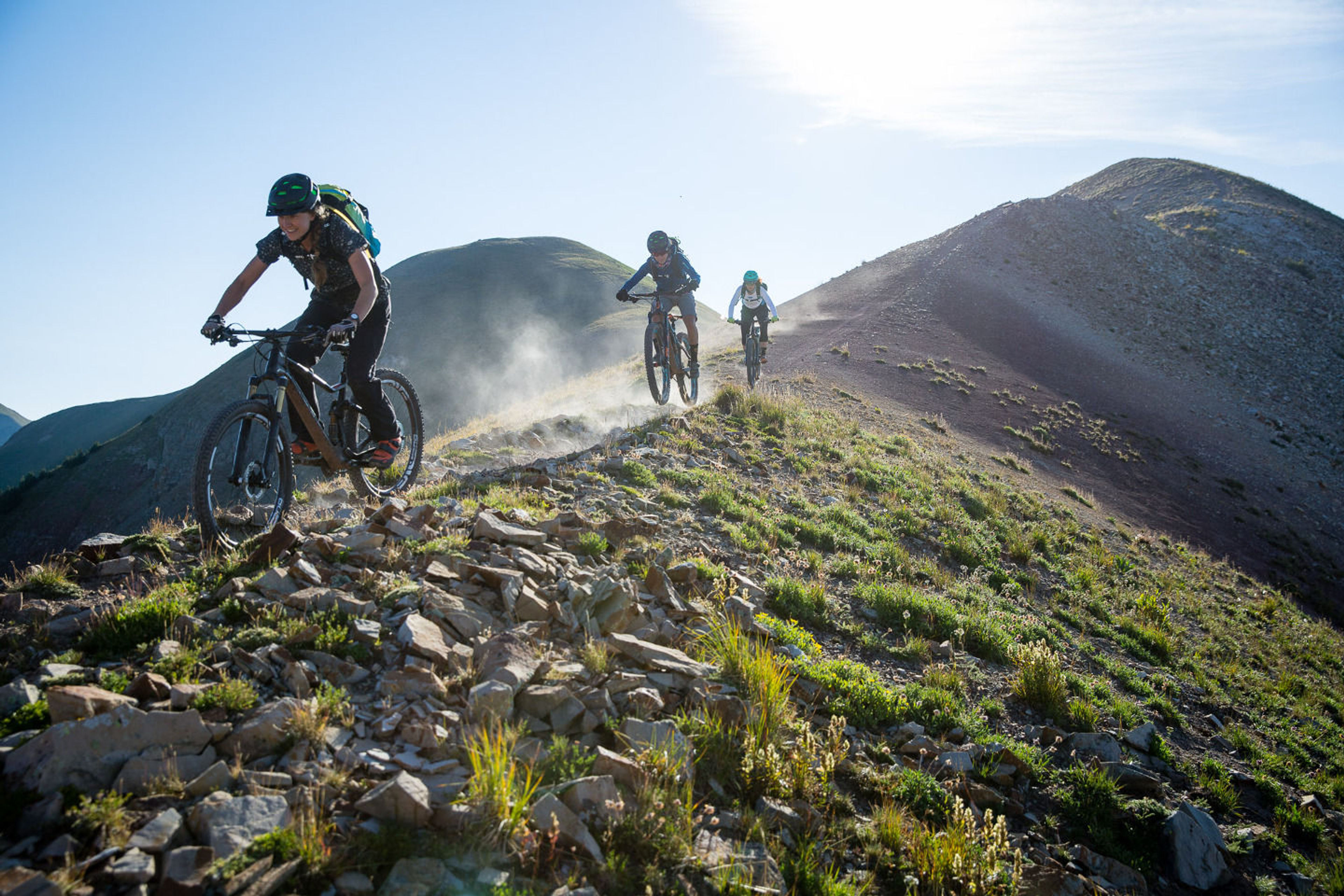
The Calico is a multiple use trail with primary users being trail motorcyclists, equestrians, hikers and mountain bikers. The trail is ridge line and climbs several peaks, offering spectacular vistas of the La Plata and San Juan Mountain Ranges.

Calico
Point of Interest
0 Reviews
Claim
Share
Favorite
Social
Additional Information
Activities
Biking
Camping
Dog Walking
Horseback Riding
Motorcycle Riding
Walking
Hiking
Trail Running
National Recreation Trail Details
Length: 22 Miles
Loop Trail: No
Primary Trail Type: Backcountry
Additional Trail Types: -
Agency: USDA Forest Service
Entry Fee: -
Fee Notes: -
Parking Fee: -
Permit Fee: -
Trail Use Notes:
None
Seasonal Use Notes:
None
Location: San Juan National Forest, In San Juan National Forest on Forest Rd. 471, 4 mi. from SR 145.
County: Dolores, Montezuma
State: CO
Townships: -
Driving Directions:
-
Average Grade: 15%
Maximum Grade: 25%
Elevation High: 12340 Feet
Elevation Low: 8500 Feet
Elevation Gain: -
Average Width: 18 Inches
Minimum Width: -
Primary Surface: Soil
Additional Surfaces: Soil
Year Designated: 1979
Websites
Documents
- 156_stelprdb5203373.pdf - USFS Trail Map/Overview
Stewardships
 In Partnership WithAmerican Trails