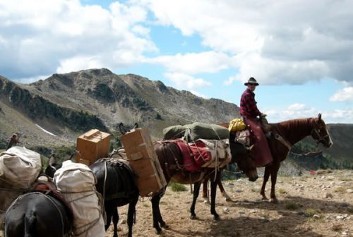
Trail passes through open forest, sub-alpine meadow and Mt. St. Helens Blast Zone - open vistas with views of surrounding devastation, debris avalanches, alpine meadows, surrounding peaks and Cascade Volcanoes. Johnston Ridge Observatory near to trail.
Boundary Trail
Point of Interest
0 Reviews
Claim
Share
Favorite
Social
Additional Information
Activities
Biking
Camping
Dog Walking
Horseback Riding
Walking
Hiking
Trail Running
National Recreation Trail Details
Length: 66.4 Miles
Loop Trail: No
Primary Trail Type: Backcountry
Additional Trail Types: -
Agency: USDA Forest Service
Entry Fee: -
Fee Notes: -
Parking Fee: -
Permit Fee: -
Trail Use Notes:
None
Seasonal Use Notes:
higher elevations are not accesible during the winter
Location: Rural/Backcountry, in Gifford Pinchot National Forest joins Spirit Lake (near Mt. St. Helens) to Council Lake (near Mt. Adams).
County: Okanogan
State: WA
Townships: -
Driving Directions:
-
Average Grade: -
Maximum Grade: -
Elevation High: -
Elevation Low: -
Elevation Gain: -
Average Width: 24 Inches
Minimum Width: -
Primary Surface: Soil
Additional Surfaces: -
Year Designated: 1979