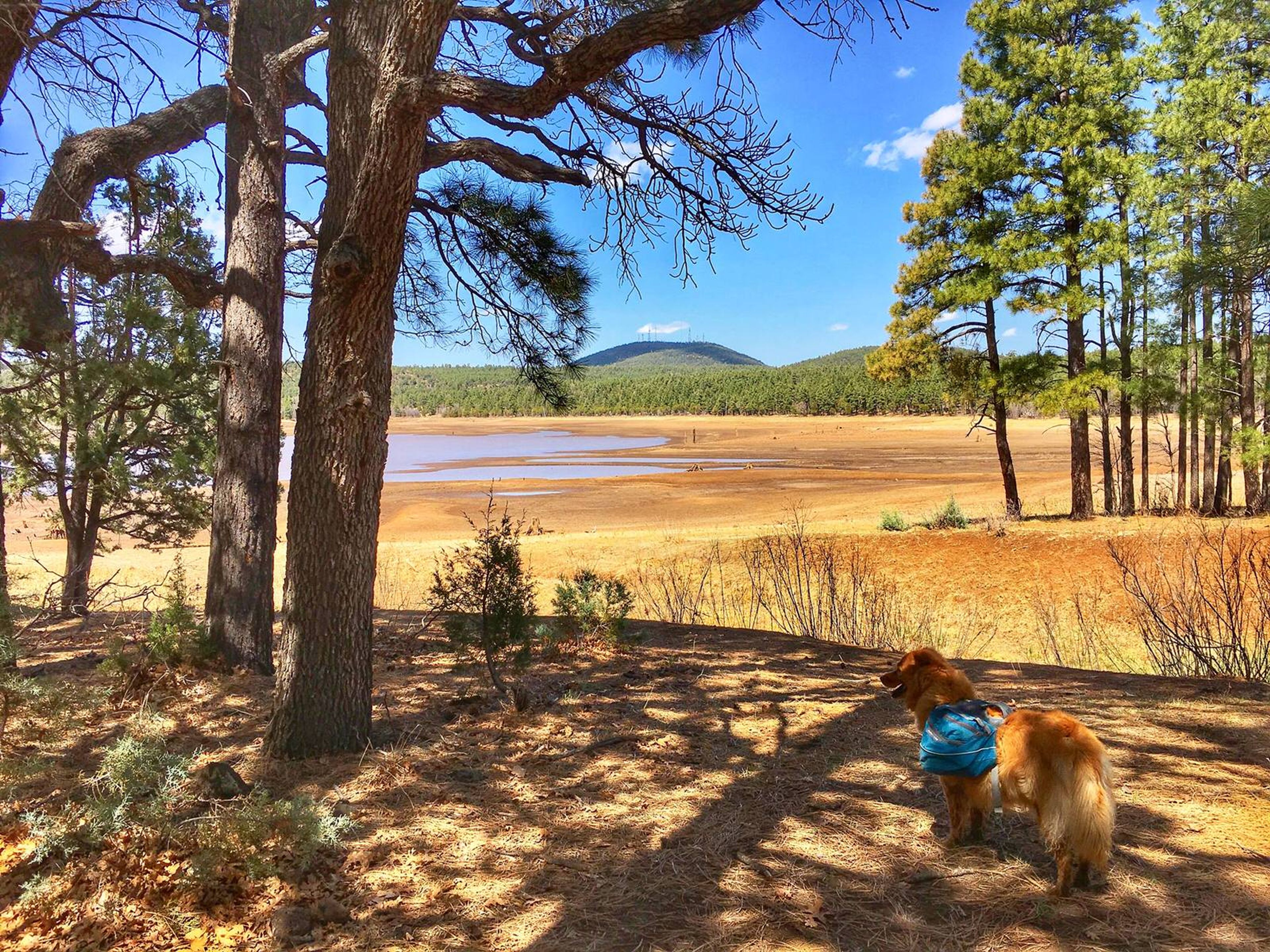
The trail follows Billy Creek and winds its way through a ponderosa pine forest to the top of Blue Ridge Mountain. The mountain is volcanic and summit offers scenic vistas. Portions of the trail follow logging roads, connector trails head SE and NW.

Blue Ridge
Point of Interest
0 Reviews
Claim
Share
Favorite
Social
Additional Information
Activities
Walking
Hiking
Trail Running
National Recreation Trail Details
Length: 8.7 Miles
Loop Trail: No
Primary Trail Type: Backcountry
Additional Trail Types: -
Agency: USDA Forest Service
Entry Fee: -
Fee Notes: -
Parking Fee: -
Permit Fee: -
Trail Use Notes:
None
Seasonal Use Notes:
mud in spring and August
Location: In the Apache-Sitgreaves NF from Lakeside S on SR 260, E on Bucksprings Rd, N on FS Rd. 182, W on FS Rd. 187.
County: -
State: AZ
Townships: -
Driving Directions:
From Lakeside travel south on AZ 260 east on Bucksprings Road, north on FR 182 and west on FR 187 to Trailhead #2. Continue on FR 187 to reach Trailhead #1.
Average Grade: -
Maximum Grade: -
Elevation High: -
Elevation Low: -
Elevation Gain: -
Average Width: 36 Inches
Minimum Width: -
Primary Surface: -
Additional Surfaces: -
Year Designated: 1979