Mato Paha, or bear mountain, is the Lakota Indian name for this outstanding geological formation. In
actuality, it is the remains of a volcano that did not erupt. Geologists call it a laccolith. Legend says that
Bear Butte received its name because from a distance it looks like a sleeping bear.
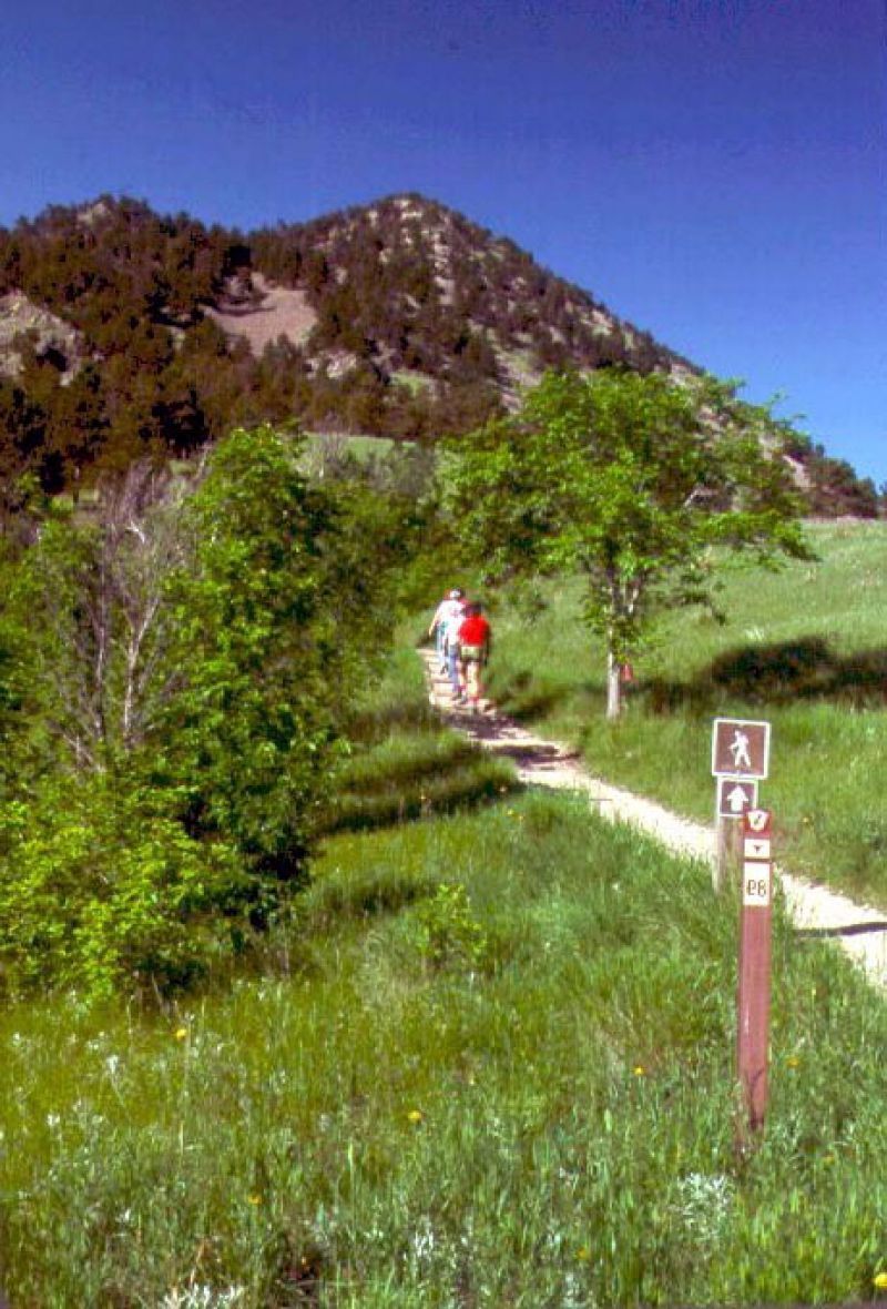
Nearby campsites have been dated to be more than 4,000 years old. Through the centuries, thousands of people have come here to be inspired. American Indian people from over 15 tribes still come here to fast, pray, seek visions, present offerings to their sacred spirits and to undergo personal sacrifice.
Please show your respect to the people who are here for these purposes.
Visits by notable American Indian leaders such as Red Cloud, Crazy Horse, Man Afraid, Little Wolf and
Sitting Bull are recorded in Bear Butte's history. The earliest visits by Caucasian people began with the visit of the Verendrye Expedition in 1742. A succession of mountain men and scientists followed. In 1874, George Armstrong Custer led an expedition of 1,000 men to explore the Black Hills. Although his command camped a few miles south of the butte, several men accompanied Custer to the summit of Bear Butte. After Custer and his men verified the rumors of gold in the Black Hills, Bear Butte served as a landmark for prospectors and settlers who came seeking wealth.