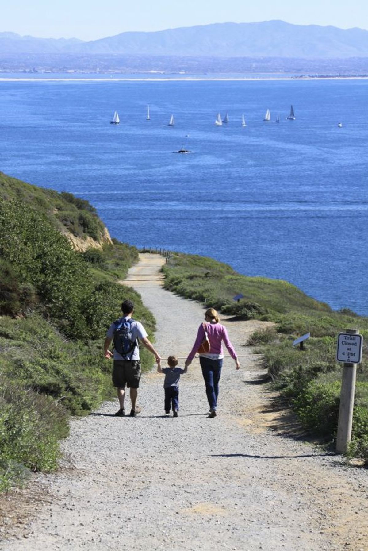
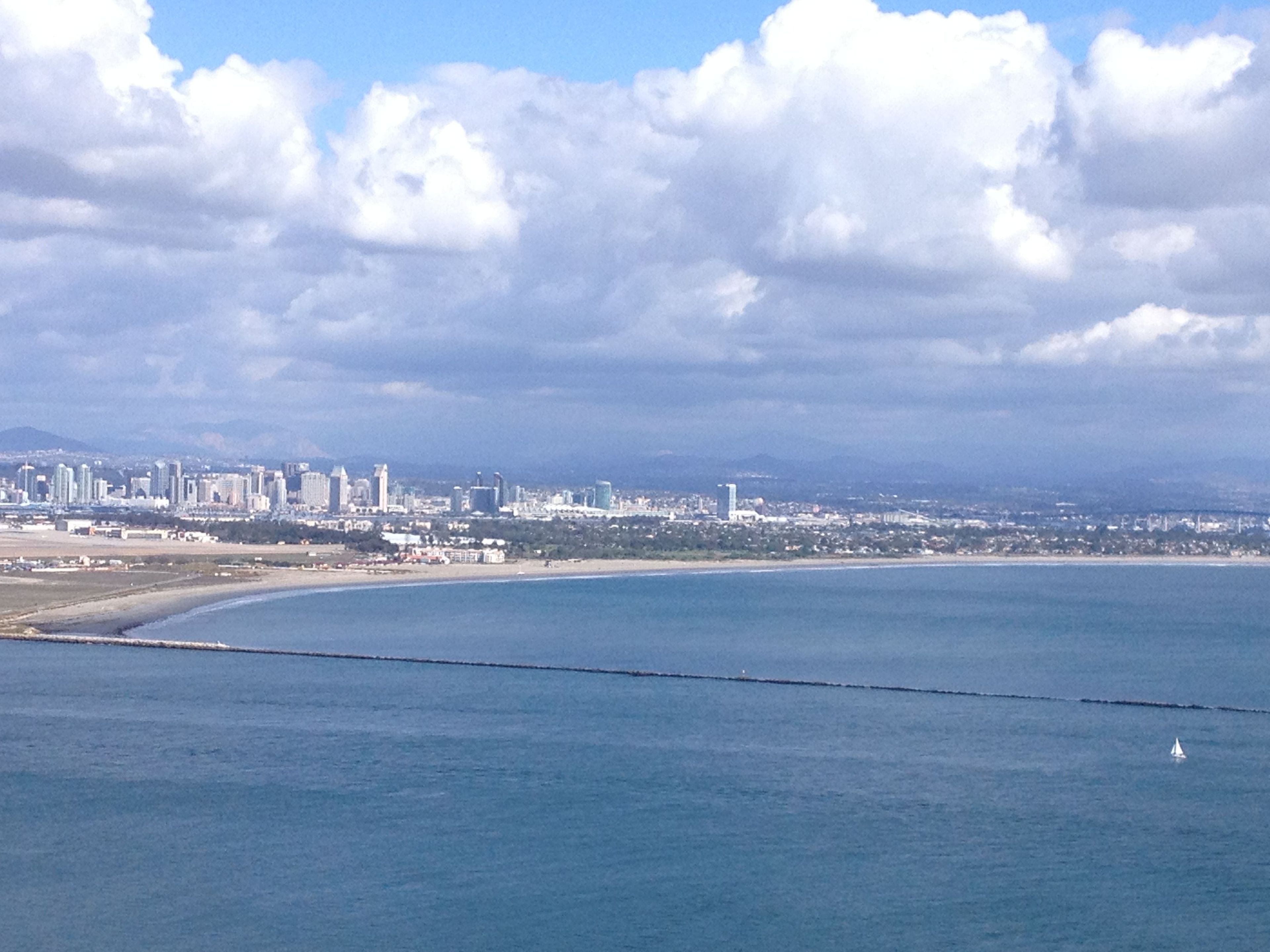
On the southeast side of the park, the trail follows an old military road winding down from the top of the park toward San Diego Bay. On a clear day you can see the mountains of Mexico to the south, the Laguna mountains to the east behind the San Diego skyline, North Island Naval Air Station, and the Coronado Bridge. The 2.5 mile roundtrip is easily done by kids and adults of all hiking abilities. But even though it's relatively short, the uphill return gives a good workout with an approximately 340-foot elevation gain that could be challenging for hikers with respiratoty or heart problems. Benches and stopping points provide perfect places to take in one of the most beautiful views in the county while you catch your breath. Hiking time is estimated at 1 to 2 hours, though you are likely to encounter many repeat local visitors using it as part of their weekly workout (think ½ hour round-trip). There are no restrooms or water along this trail, so hikers are asked to bring water with them, especially in the warm summer months. There is also no access to the beach at any point on the trail, and pets and bikes are not allowed. As in any natural area, there are environmental hazards to watch out for, including toxic plants and animals and fragile cliff faces. The downhill portion of the trail ends overlooking Ballast Point where nuclear-powered submarines are now docked in the same place Cabrillo's ships anchored after three months at sea in 1542. Cabrillo's statue looms on the bluff about 300 feet above you. You're at the half-way point.

Bayside
Point of Interest
Additional Information
Activities
National Recreation Trail Details
Length: 2 Miles
Loop Trail: No
Primary Trail Type: Nature Trail
Additional Trail Types: -
Agency: National Park Service
Entry Fee: -
Fee Notes: -
Parking Fee: -
Permit Fee: -
Trail Use Notes:
None
Seasonal Use Notes:
extreme heat during summer
Location: In San Diego at Cabrillo Nat. Mon., connecting visitor center to Old Point Loma Lighthouse overlooking San Diego Bay.
County: San Diego
State: CA
Townships: -
Driving Directions:
Located within Cabrillo National Monument, on southern tip of Point Loma, at the terminus of State Route 209.
Average Grade: -
Maximum Grade: -
Elevation High: -
Elevation Low: -
Elevation Gain: -
Average Width: 60 Inches
Minimum Width: -
Primary Surface: Soil, Compacted
Additional Surfaces: -
Year Designated: 1984
Websites
Stewardships
 In Partnership WithAmerican Trails