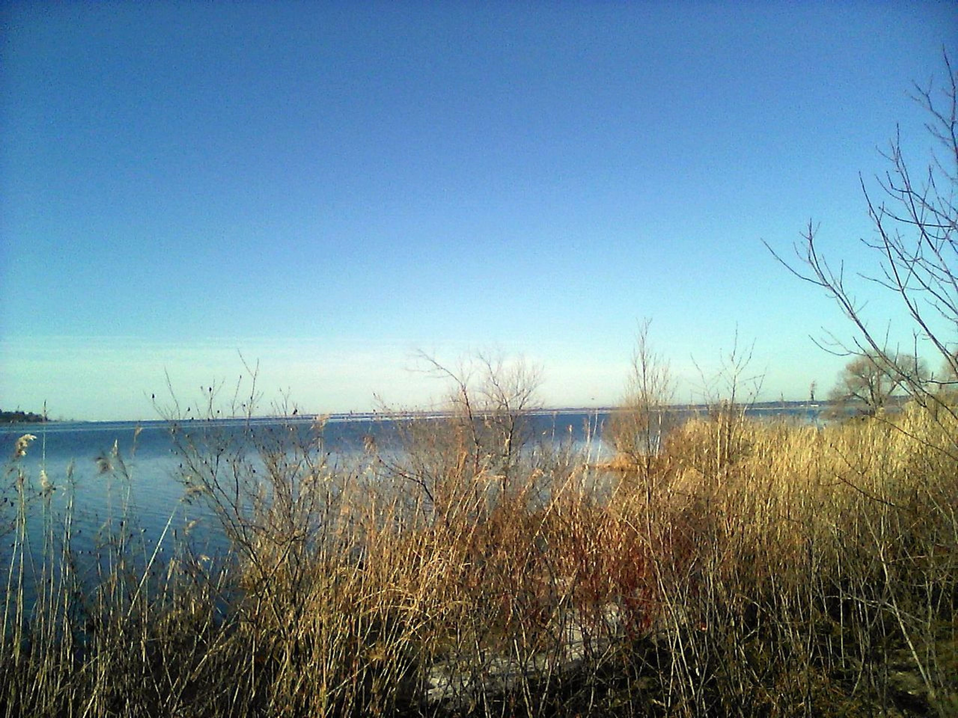
The trail takes a pleasant route over mostly flat to rolling forest land. On the south end, hikers will find plantations of red and jack pine; as they travel north, the forest turns to aspen and northern hardwoods, which are spectacular in the fall. Much of the trail follows the edge of the Witefish River valley, and hikers are rewarded with intermittent views of the valley and river below. The Bay de Noc - Grand Island Trail is attractive to horseback riding and backpackers alike. Along its path are three trailheads whose facilities include camping, drinking water and ample parking for horse trailers.


Bay de Noc - Grand Island Trail
Point of Interest
Additional Information
Activities
National Recreation Trail Details
Length: 42 Miles
Loop Trail: No
Primary Trail Type: Backcountry
Additional Trail Types: -
Agency: USDA Forest Service
Entry Fee: -
Fee Notes: -
Parking Fee: -
Permit Fee: -
Trail Use Notes:
None
Seasonal Use Notes:
None
Location: Rapid River, Central Upper Peninsula of Michigan.
County: Delta, Alger
State: MI
Townships: -
Driving Directions:
Located in the Central Upper Peninsula of Michigan, 2 miles east of Rapid River and about 150 north of Green Bay, Wisconsin.
Average Grade: 2%
Maximum Grade: 20%
Elevation High: 960 Feet
Elevation Low: 660 Feet
Elevation Gain: -
Average Width: 24 Inches
Minimum Width: -
Primary Surface: Sand
Additional Surfaces: Sand
Year Designated: 1980