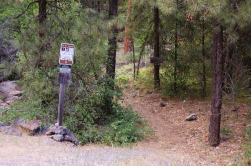
This trail is one of the most popular trails in the Badger Creek Wilderness. It is usually best to hike during the period of June-September. This trail makes an excellent backpack route as there are more than a dozen campsites along the trail; also you come across many different forest types. From oak thickets to sub alpine fir meadows at Badger Lake. Visitors can try to catch small, but feisty rainbow trout in Badger Creek, as it runs along the entire length of the trail. Hikers may also enjoy large natural rock formations along the lower section of this trail.
Badger Creek
Point of Interest
0 Reviews
Claim
Share
Favorite
Social
Additional Information
Activities
Camping
Dog Walking
Horseback Riding
Walking
Hiking
Trail Running
Wildlife Watching
National Recreation Trail Details
Length: 11 Miles
Loop Trail: No
Primary Trail Type: Backcountry
Additional Trail Types: -
Agency: USDA Forest Service
Entry Fee: -
Fee Notes: -
Parking Fee: -
Permit Fee: -
Trail Use Notes:
None
Seasonal Use Notes:
None
Location: Backcountry/Wilderness, In the Mt. Hood National F
County: Wasco
State: OR
Townships: -
Driving Directions:
Hwy. 26 east to Hwy. 35 north to the junction of Forest Road 48 (White River east of snow park). Proceed east on the 48 road to the Forest Road 4810 (just north of Rock Creek Reservoir). Turn left on 4810 continue for 2 miles. At the junction with Forest Road 4811 turn right for approximately two miles, turning right on the Forest Road 2710 heading to Bonney Crossing Campground. Trailhead is on the left after crossing Badger Creek.
Average Grade: -
Maximum Grade: -
Elevation High: -
Elevation Low: -
Elevation Gain: -
Average Width: 24 Inches
Minimum Width: -
Primary Surface: Soil
Additional Surfaces: -
Year Designated: 1979
Stewardships
 In Partnership WithAmerican Trails