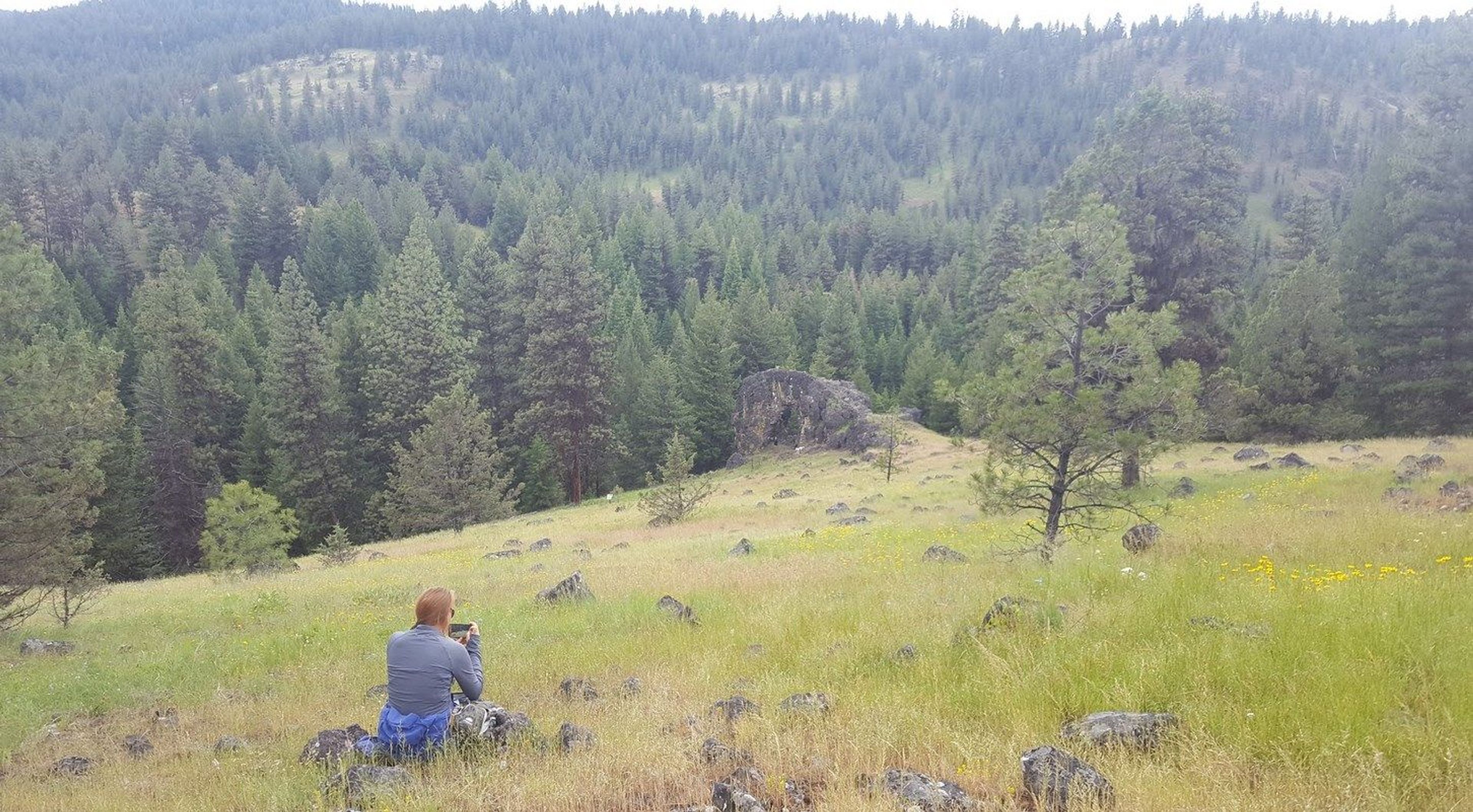
Very scenic, easy, short hike. Very photogenic trail with interesting rock formations. No toilet, Facilities available. Pack it in pack it out.

Arch Rock Trail
Point of Interest
0 Reviews
Claim
Share
Favorite
Social
Additional Information
Activities
Camping
Dog Walking
Walking
Hiking
Trail Running
National Recreation Trail Details
Length: 0.3 Miles
Loop Trail: No
Primary Trail Type: Backcountry
Additional Trail Types: -
Agency: USDA Forest Service
Entry Fee: -
Fee Notes: -
Parking Fee: -
Permit Fee: -
Trail Use Notes:
None
Seasonal Use Notes:
None
Location: In the Malheur NF, 25 mi. from Prairie City. Follow SR 26, Grant Co. Rd. 18, and FS Rds. 36 and 3650.
County: Grant
State: OR
Townships: -
Driving Directions:
From John Day, Drive East on Us. Highway 26, approximately 9 miles to county Road 18. Drive North on County Road 18, approximately 9 miles to 36 approximately 9 miles to Forest service Road(FSR) 3650. Drive East on FSR 3650 to trailhead.
Average Grade: -
Maximum Grade: -
Elevation High: -
Elevation Low: -
Elevation Gain: -
Average Width: 24 Inches
Minimum Width: -
Primary Surface: -
Additional Surfaces: -
Year Designated: 1981