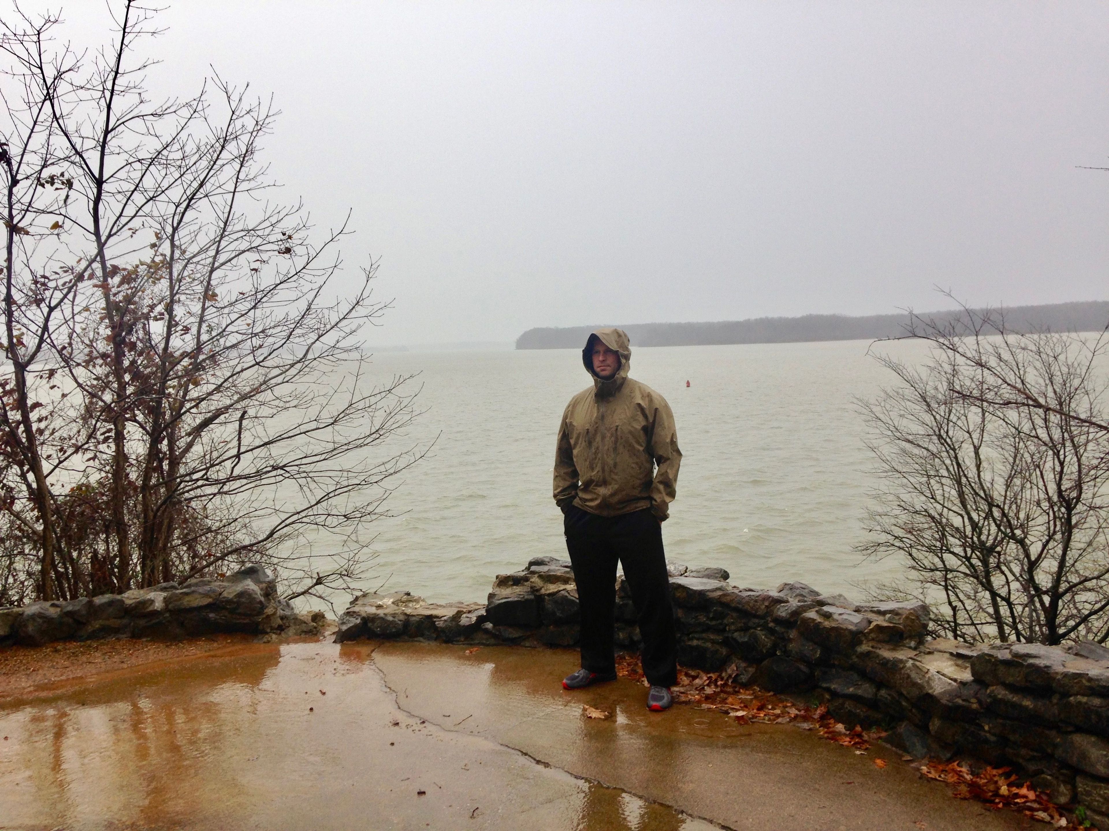
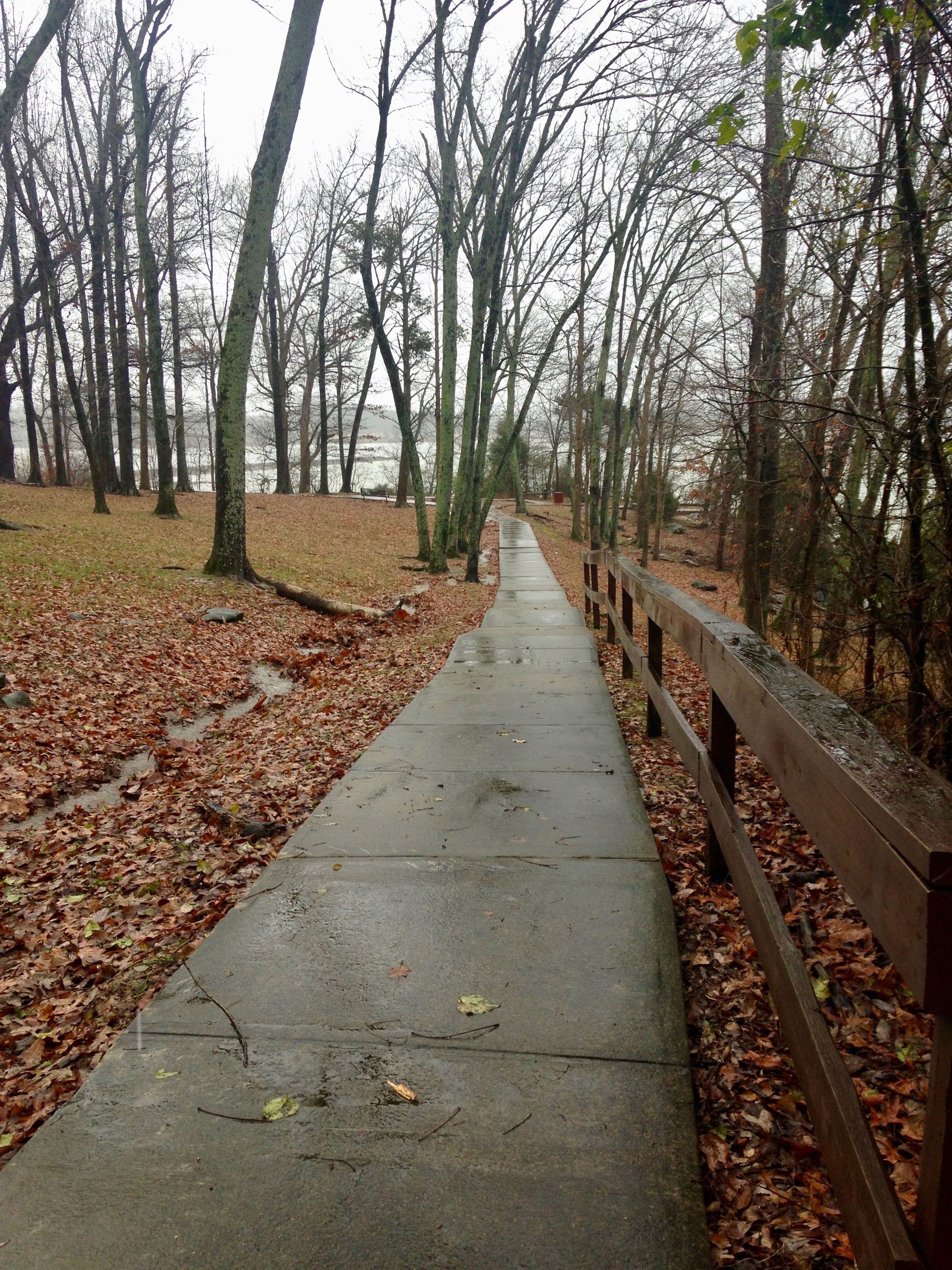
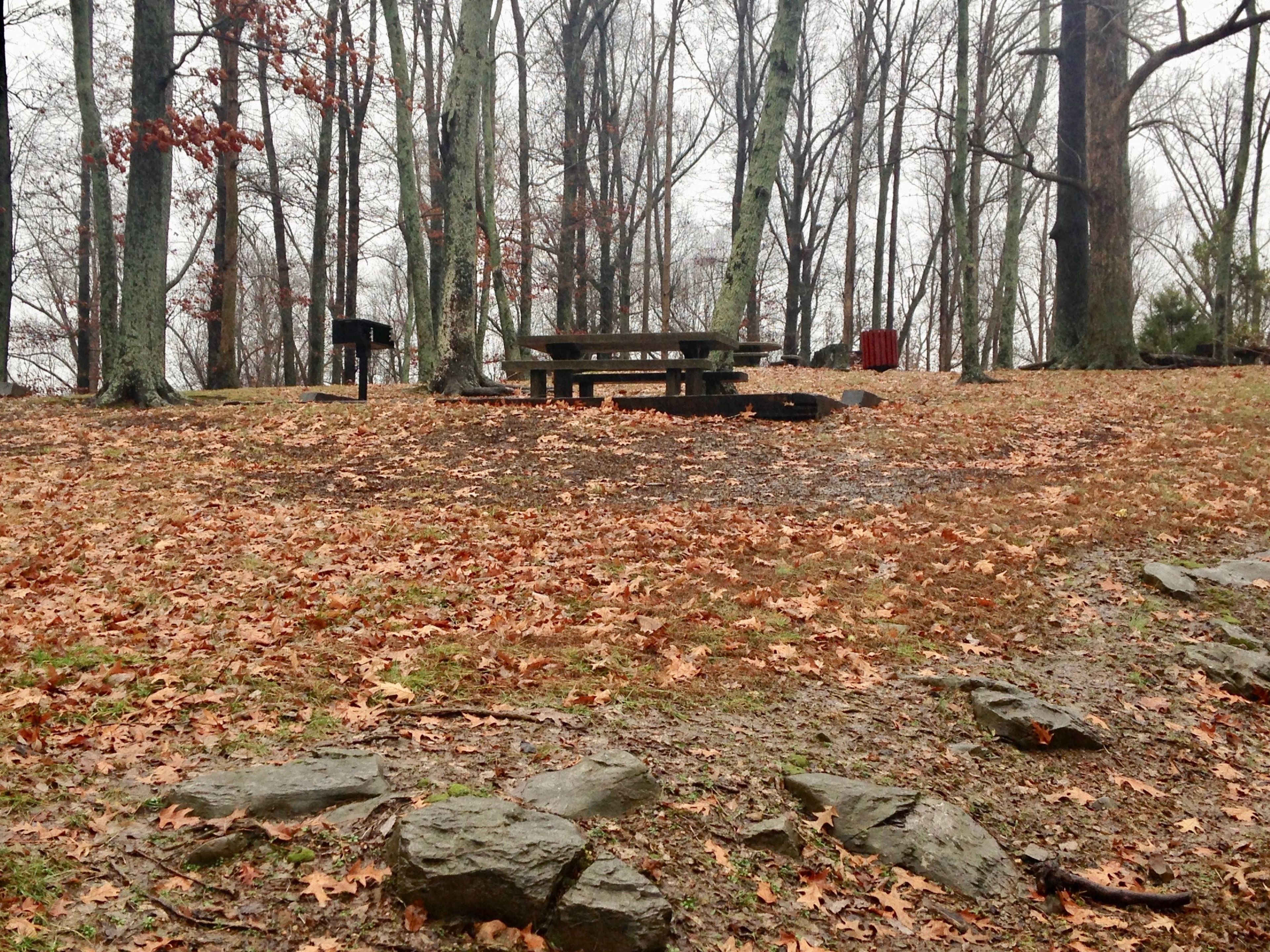
The Anderson Woodland Trail is a short scenic trail, accessible and completely shaded. It reveals some of Lake Barkley's most scenic views. It consists of one main loop with a short walkway leading to an overlook. You can use the overlook to view the Kentucky State Penitentiary, (also known as the Castle on the Cumberland), or just relax for a moment and enjoy the refreshing breeze off the lake. There are several picnic tables and grills along the trail for you to enjoy a small cookout or picnic. Adjacent to the trail is the Old Kuttawa Recreation Area, consisting of a public swimming area, swings, playground equipment, horseshoe pits, volleyball court, two restroom buildings, along with additional picnicking areas. The recreation area also offers two picnic shelters that may be reserved.

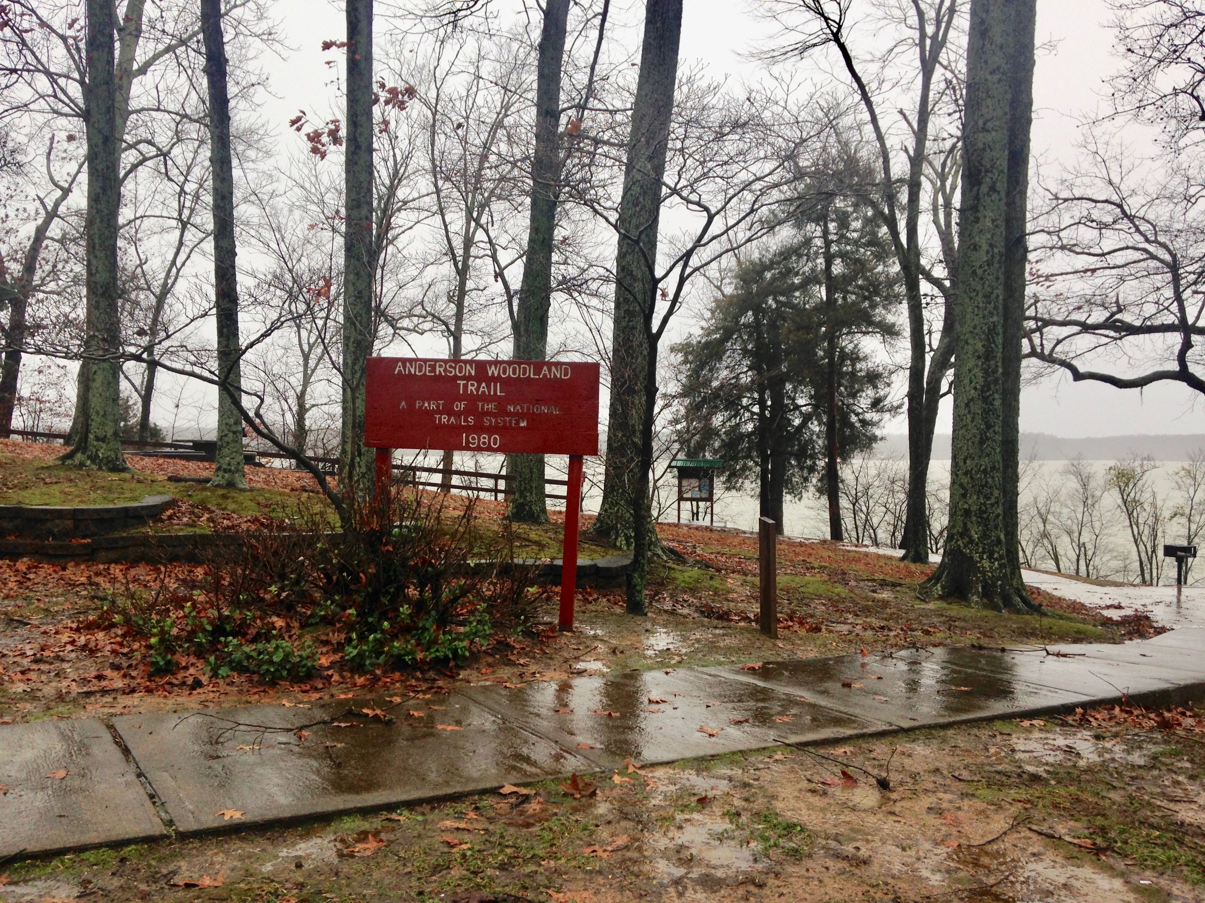
Anderson Woodland Trail
Point of Interest
Additional Information
Activities
National Recreation Trail Details
Length: 0.33 Miles
Loop Trail: Yes
Primary Trail Type: Nature Trail
Additional Trail Types: -
Agency: U.S. Army Corps of Engineers
Entry Fee: -
Fee Notes: -
Parking Fee: -
Permit Fee: -
Trail Use Notes:
None
Seasonal Use Notes:
None
Location: Location - Kuttawa Recreation Area at Lake Barkley
County: Lyon
State: KY
Townships: -
Driving Directions:
Driving Eastbound on Interstate 24. 1) Take Exit 40. 2) Turn right onto Highway 62. 3) Turn left onto highway 295, Lake Barkley Drive 4) Drive until you see the Kuttawa Recreation Area on your right. 5) Turn into Kuttawa Recreation Area and the trail head is at the corner of the parking lot on the highway.
Driving Westbound on Interstate 24. 1) Take Exit 40. 2) Turn left onto Highway 62. 3) Turn left onto highway 295, Lake Barkley Drive 4) Drive until you see the Kuttawa Recreation Area on your right. 5) Turn into Kuttawa Recreation Area and the trail head is at the corner of the parking lot on the hill.
Average Grade: 5%
Maximum Grade: 11%
Elevation High: 425 Feet
Elevation Low: 361 Feet
Elevation Gain: 97 Feet
Average Width: 30 Inches
Minimum Width: -
Primary Surface: Concrete
Additional Surfaces: -
Year Designated: 1979
Websites
Stewardships
 In Partnership WithAmerican Trails