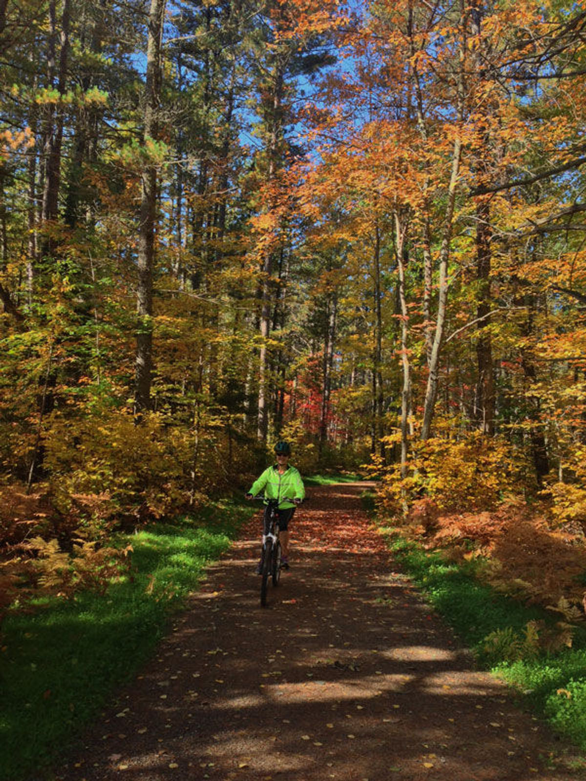
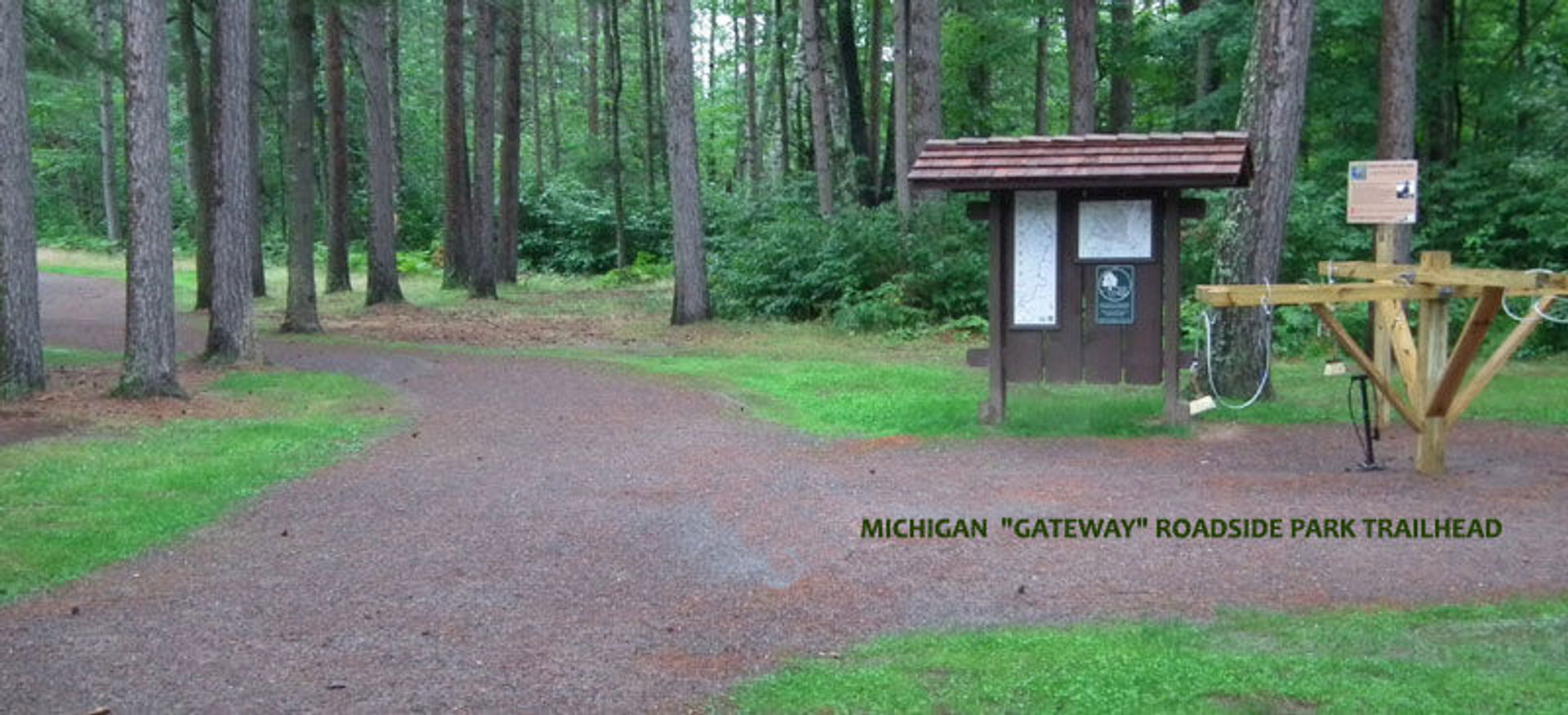
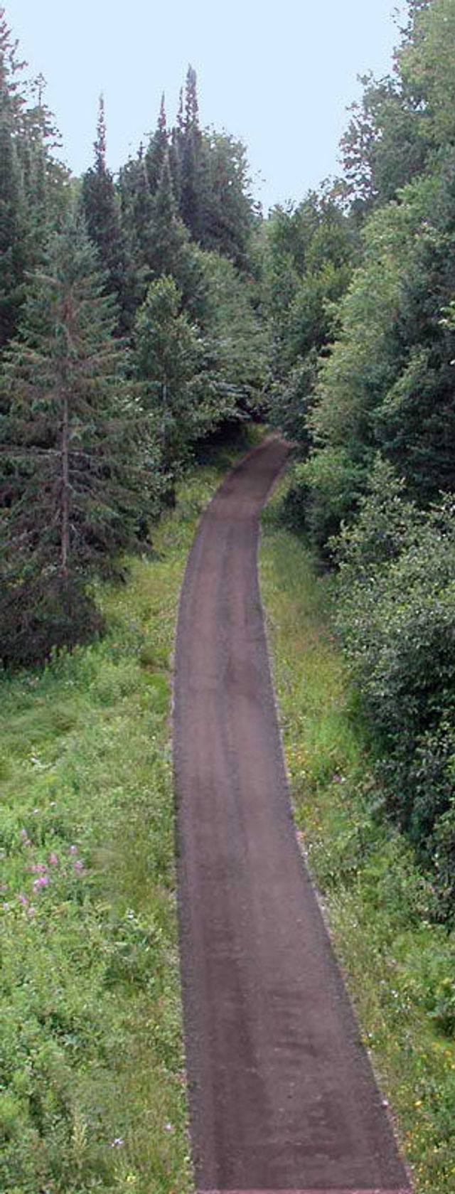
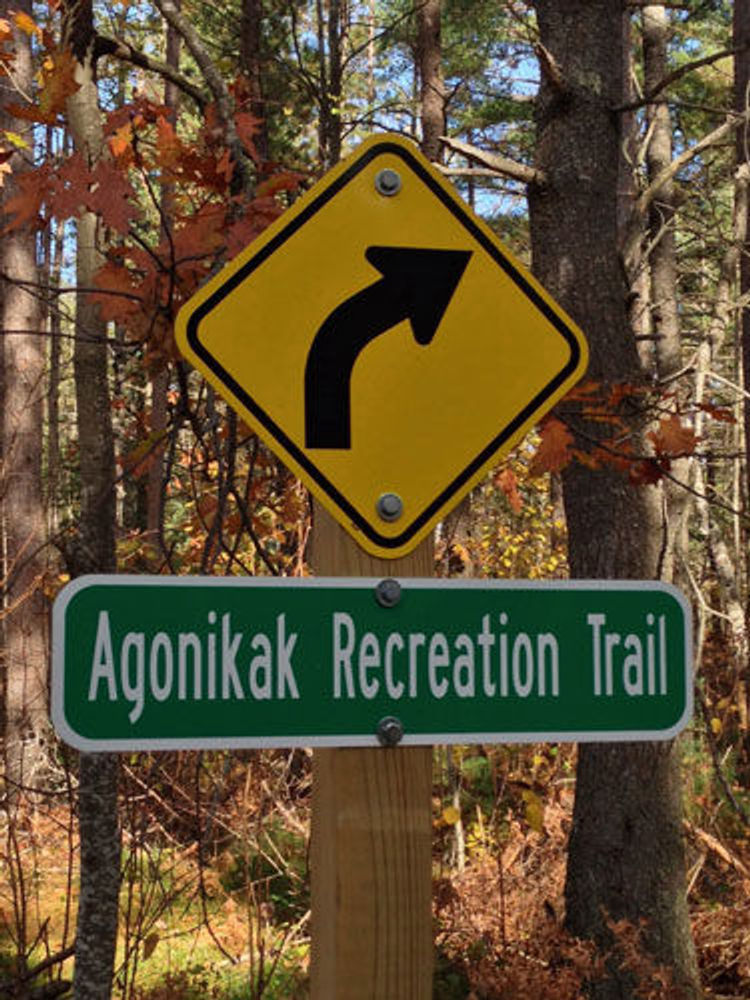
Located on the Ottawa National Forest, this 12-mile trail connects Watersmeet, Michigan to Land O' Lakes, Wisconsin.The Agonikak Trail is a component of the 38-mile Wilderness Lakes Trails' bike and pedestrian system that traverses 2 states and encircles the Sylvania Recreation Area. The Agonikak bike and pedestrian trail can be accessed at the Watersmeet Town Park, the Ottawa National Forest Visitor Center in Watersmeet, or the Michigan Department of Transportation Rest Area located on the Border of Michigan and Wisconsin on Highway M-45. Caution should be used on the first half mile of trail in Watersmeet, which is co-located on an ATV/snowmobile route. The rest of the route is closed to motorized use.
Agonikak National Recreation Trail
Trailhead
0 Reviews
Claim
Share
Favorite
Social
Additional Information
Activities
Biking
Dog Walking
Walking
Hiking
Trail Running
Snowshoeing
Websites
National Recreation Trail Details
- Length: 12 Miles
- Loop Trail: No
- Primary Trail Type: Fitness Trail
- Additional Trail Types: Mountain Bike Trail
- Agency: USDA Forest Service
- Entry Fee: -
- Fee Notes: -
- Parking Fee: -
- Permit Fee: -
- Trail Use Notes: None
- Seasonal Use Notes:
- None
- Location: Located on the Ottawa National Forest
- County: Gogebic
- State: MI
- Townships: -
- Driving Directions: East of U.S. Highway 45 between Watersmeet and WI State line.
- Average Grade: -
- Maximum Grade: -
- Elevation High: 1600 Feet
- Elevation Low: 1400 Feet
- Elevation Gain: -
- Average Width: 127 Inches
- Minimum Width: -
- Primary Surface: Soil
- Additional Surfaces: Soil
- Year Designated: 1978