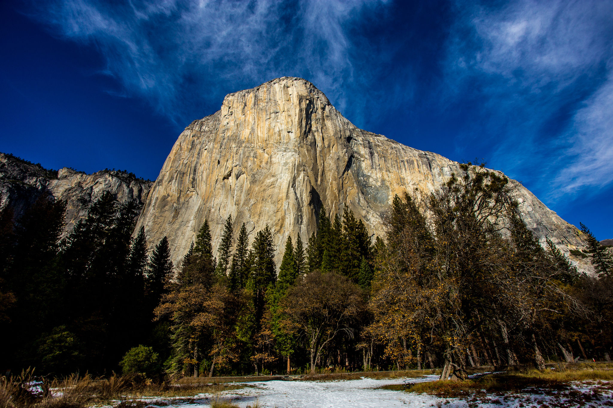
The trailhead begins at Lower Yosemite Fall, just behind the Valley Visitor Center. The full loop can be as long as 20 miles, but you can make it as long as you want with an 11 miles and 7 mile loops. The trail is mostly level for the entire loop, but route-finding can be difficult in places, so it is best to bring a map with you (even a simple day hiking brochure from the visitor center) as it will orient you with the various landforms in the Valley, which are often listed on the trail/directional signs.
While some of the trail passes near roads, much of it takes you through meadows, talus slopes at the base of the granite cliffs, and near the Merced River. You can access or exit the trail from many places throughout the Valley.
Restrooms are available at the trailhead near the start of the Lower Yosemite Fall Trail. Vault toilets are also available at the Bridalveil Fall parking area and Swinging Bridge Picnic Area. Eat your packed lunch along the trail wherever you find your perfect lunch spot.
