A very challenging and long day hike, hence the "challenge" in the name. This hike has so much to offer. After a short bus ride from San Francisco, you enter at the Morning Sun trailhead and make your way up the mountain, soon catching views of Angel Island and the north end of SF Bay.
Your first trail intersection you'll hit the Alta Trail headed north. In less than a mile you'll come upon the intersection with Bobcat trail which you'll take past the entrance to Hawk Camp and make your way to the Marincello Trail down to Tennessee Valley. This section of the trail offers super great views of the Rodeo Valley, the ocean as well as a good look at some of the residential areas along highway 101.
At the Tennessee Valley parking lot, there are restrooms and picnic tables for a snack break. Unfortunately no water here. From here, head up the Miwok trail which you'll stay on for many miles as it winds its way up the north side of Tennessee Valley. The trails are big and wide for most of the way and you'll find yourself alone for much of this section of the hike. Stay on the Miwok trail as it snakes along the ridge tops and offers views of Mount Tam to the north and Mount Diablo towering over the east bay cities of Oakland, Berkeley, and Richmond.
After crossing Shoreline Highway, you stay on the Miwok trail until you come to the intersection with the Dias Ridge Trail. Now, this is where we intended on continuing along the Miwok trail and cut over to Muir Woods road, which would have put us close to Muir Woods, but the intersection is tricky and we got distracted by some local mountain bikers. If you take our intended route, you end up cutting out about 3 miles of trail. But as we found out, it is an awesome extra 3 miles. We followed the Dias Ridge trail as it descends from the ridge and winds its way down to one of my favorite lunch resting spots, the Pelican Inn.
We were pretty tired at this point but found out there is no bus coming through here in the winter so after a short break we continued. If you do this in the summer, I'd recommend stopping here for some food and a drink!
We continued along the road for a short section before meeting up with Redwood Creek Trail. It's actually mostly on the other side of the road from the creek for much of it, but eventually, you are meandering through the woods along with the creek. Finally, you see why it got its name, as a massive lone Redwood Tree stands along the creek. One on our team hypothesized it was planted by natives long ago to demarcate a key location on the stream. After crossing some unique old bridges you'll start heading up a much more steep section of the trail and it opens to more of a fire road. A bit more chugging up the trail and you'll soon reach Muir Woods. Here, your likely to encounter many people any time of year. You can also grab some water and a bathroom break if necessary. If you're looking for more mileage, check out the trails in the National Park and stroll amongst the giants!
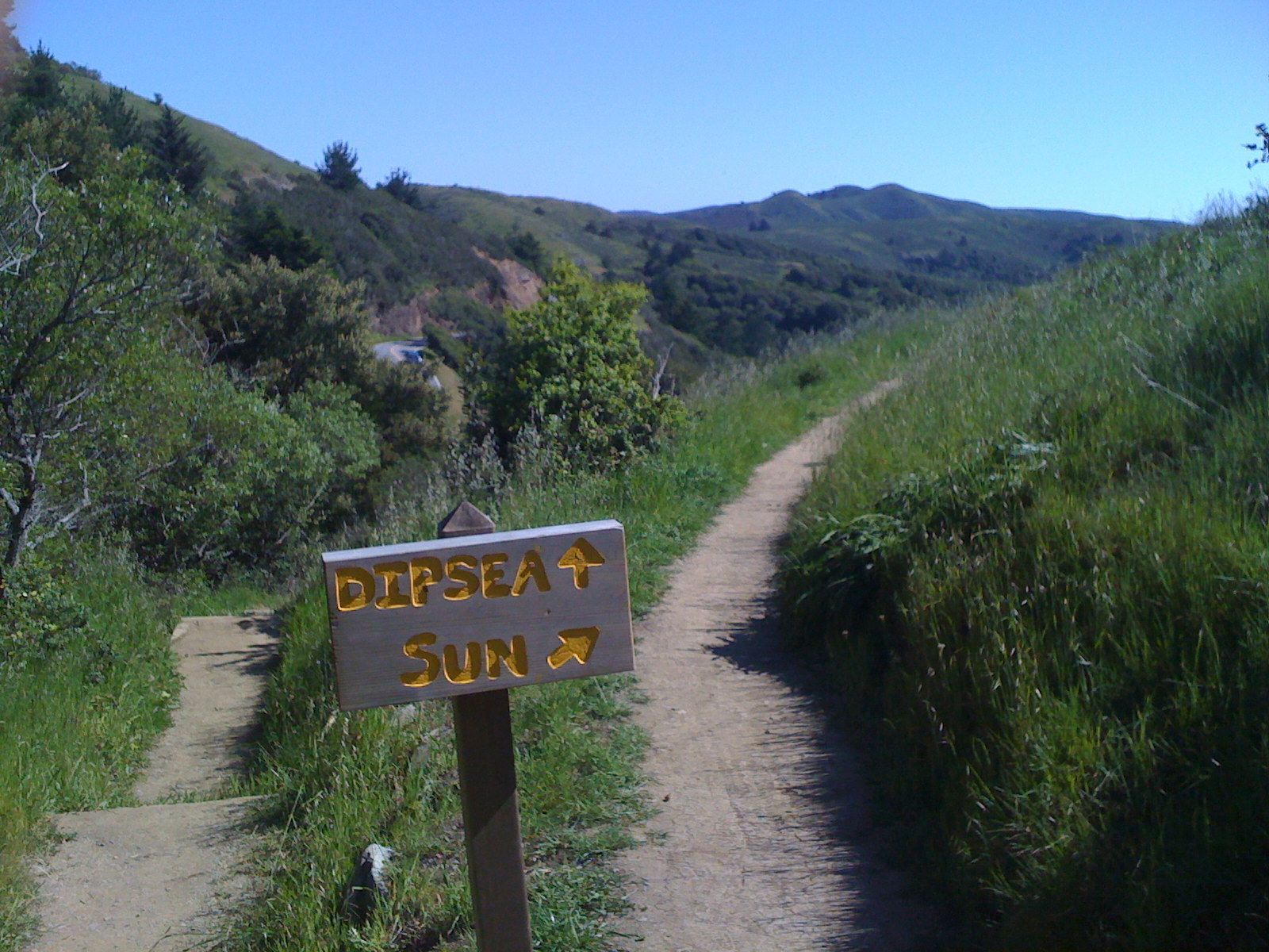
Once you are ready to continue, you have to cross the road and continue up and up for the last mile or so where you hop on to the infamous Dipsea Trail. There is a very challenging section here with steep steps. You'll hit the road for a short section and then after crossing the road, a few more steep sections before finally reaching the intersection with the Sun Trail. From here it is a mellow, flat path that will lead you right to your goal. If you've made it this far, then you fully deserve some food, a drink, and chilling at the coolest hidden spot in Marin, the Tourist Club! Congratulations!
After you finish up lunch and your break, head up the trail and out to Panoramic Highway. Conveniently there is a West Marin Stage Coach stop right there which will take you to Marin City, where you can get a quick transfer back to SF.
