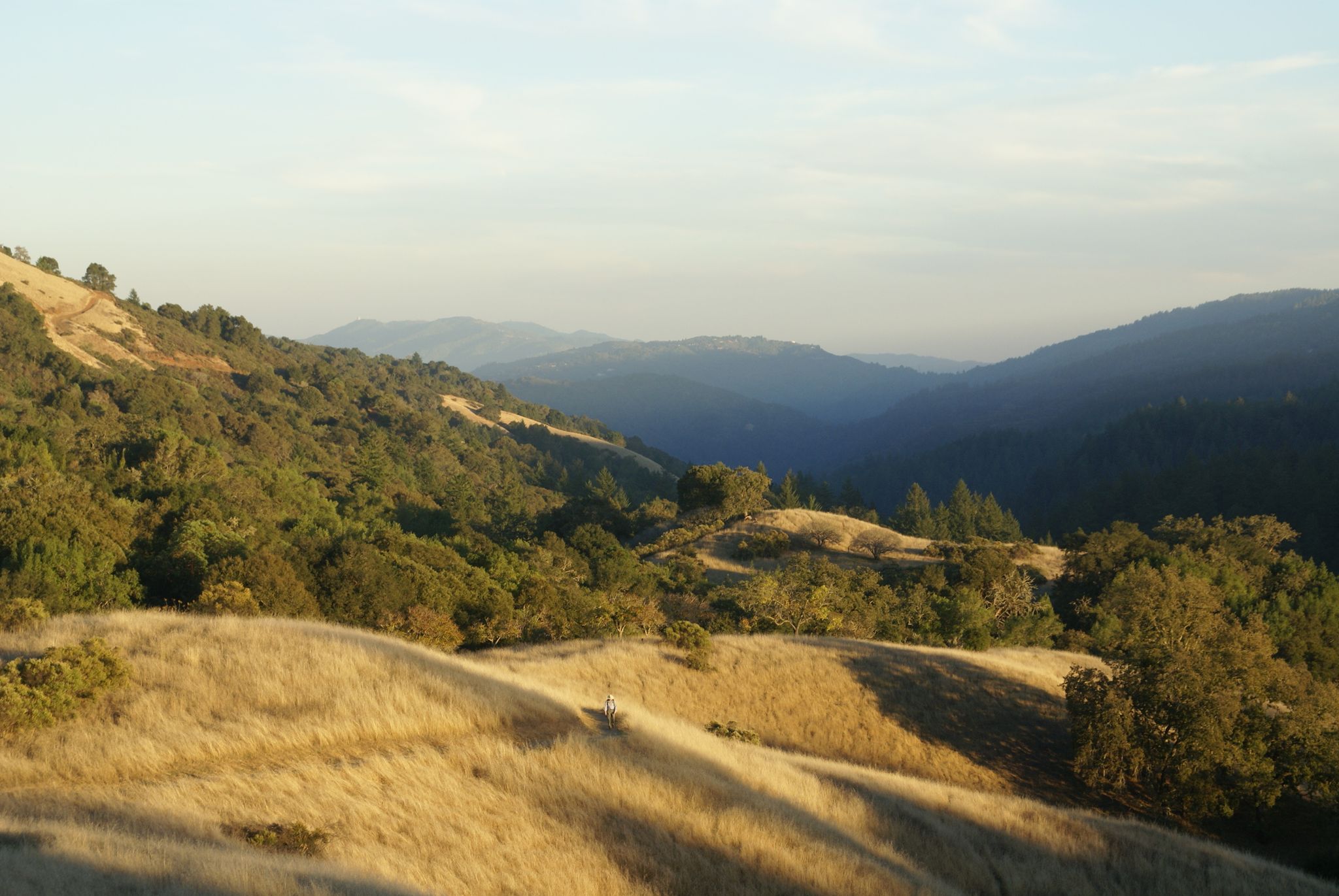
The Stevens Creek Canyon Trail loosely follows Stevens Creek from the end of the paved Stevens Canyon Road as it climbs from about 1000 feet of elevation into its headwaters in Montebello Open Space Preserve at about 2300 feet of elevation.
There are a multitude of trails branching off of the main Canyon Trail along the way and heading up to the ridges on either side, allowing for a great variety of options for turning this into more of a longer loop hike. Near the top you have options to turn off the Canyon Trail and more closely follow the creek by taking the White Oaks Trail or, if on foot, then you could follow even closer, taking the Stevens Creek Nature Trail for the last about 1 mile.
Note that this trail starts within the Santa Clara County's Stevens Creek Park and moves up into Midpeninsula Regional Open Space District's Monte Bello Preserve.
