Trailhead: Coe Ranch Entrance
Distance (round trip): 14 miles (22.5km)
Elevation Gain (round trip): 4000 ft. (1219m)
Description:
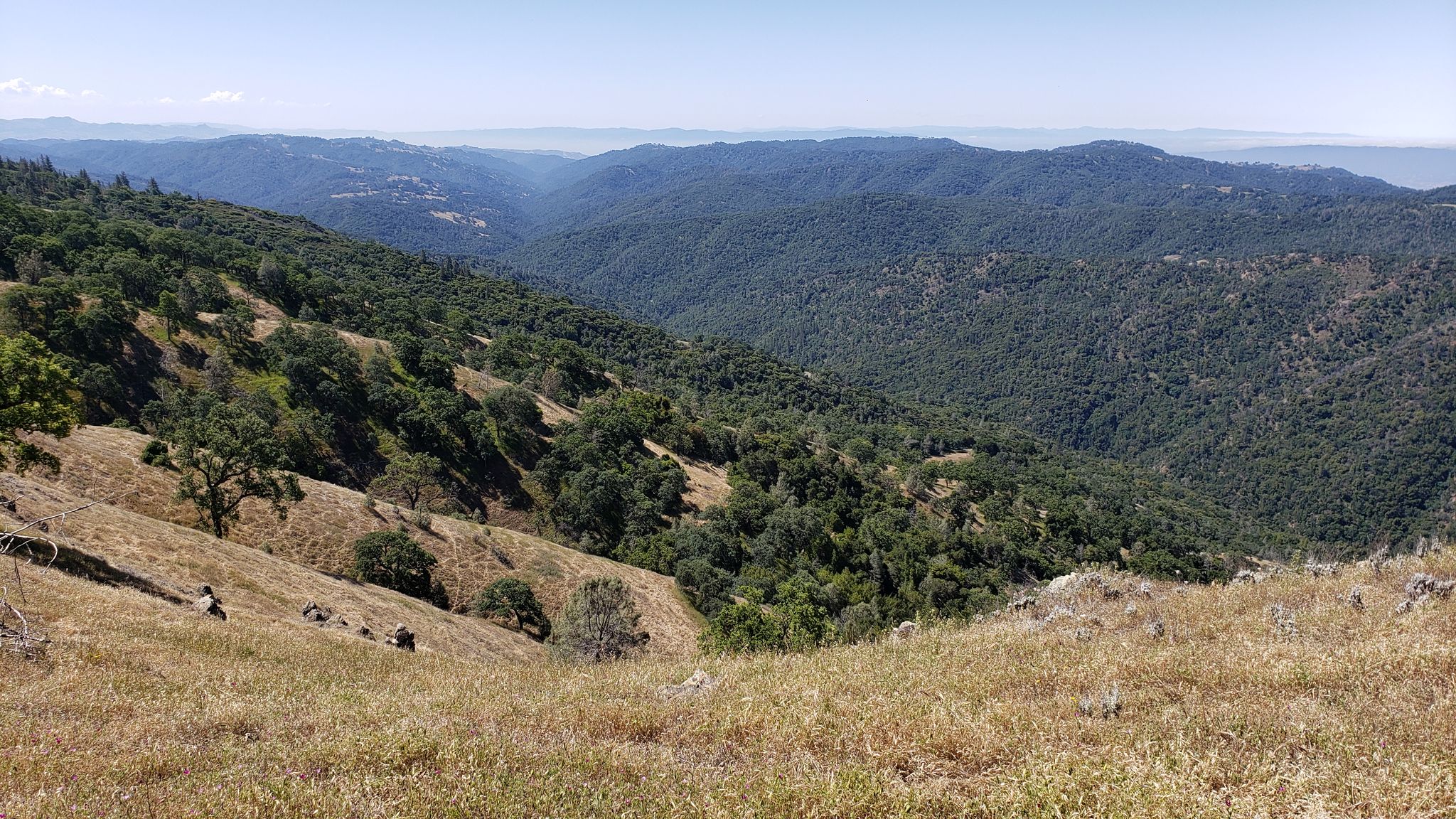
This is one of the most difficult hikes in the San Francisco Bay Area. This is a very popular hike at the park which takes you down and up 3 ridges in the park, Pine Ridge, Middle Ridge, and Blue Ridge. Weather is a factor for this hike since summer temperatures can top out around 100 degrees (38 C) with little nighttime cooling, or creeks can be full of water and unsafe to cross in winter. During winter it is important to check the water levels of the creeks. After significant rainfall the creek crossings on the hike can be unsafe to cross. This hike has the most visitor rescues than any other hike at the park.
The loop is most attempted clockwise utilizing Manzanita Point Road as the beginning trailhead and ending at the Corral Trail trailhead.
Plan and be prepared! Check the weather, check the water conditions, recent rainfall, and trail conditions for this hike. If you make it up to Mount Sizer and feel like turning around, consider continuing on the route as it is easier than descending on the 'Short Cut' aka Hobbs Road on Blue Ridge that you just went up. Lastly bring sufficient water, we recommend 4 to 6 liters per person!