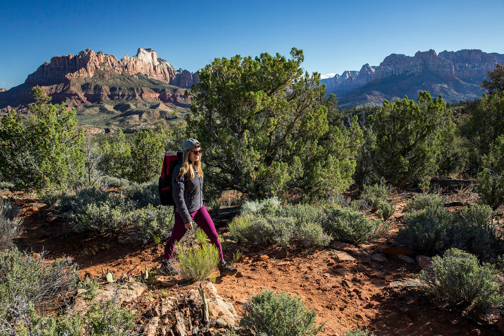
The Eagle Crags, a collection of spiked sandstone pinnacles on a high ridge south of Springdale, fills the jagged skyline above the Eagle Crags Trail parking lot in the dusty hills south of Rockville and the Virgin River. The vertical Vermillion Cliffs march away on either side of the spires, forming the southern boundary of Zion’s great canyons. The narrow, sandy trail crosses shallow washes scoured by summer flash floods and winds up at broad ridges sparsely covered with a pygmy forest of aromatic piñon pine and juniper.
The Crags lie on Bureau of Land Management (BLM) public lands outside of Zion National Park. The Eagle Crags lie at the northern end of a jutting rock peninsula that extends north from 7,363-foot Canaan Mountain, a huge sandstone massif flanking the south side of the Virgin River’s broad gorge. Though just outside the popular park, hiking the trail to Eagle Crags is a rewarding trek to a wild place offering sweet solitude and distant views.
- Location - Canaan Mountain Wilderness /Springdale
- Miles - 5.6 / out-and-back
- Rating – Moderate
- Elevation Gain - 900 feet
Pro Tips: Dogs allowed but keep under control. Watch for rocky and narrow sections. Ambitious hikers can continue on a primitive trail to Lower Mountain and higher Canaan Mountain. A high-clearance, 4WD vehicle is recommended for accessing this trailhead.