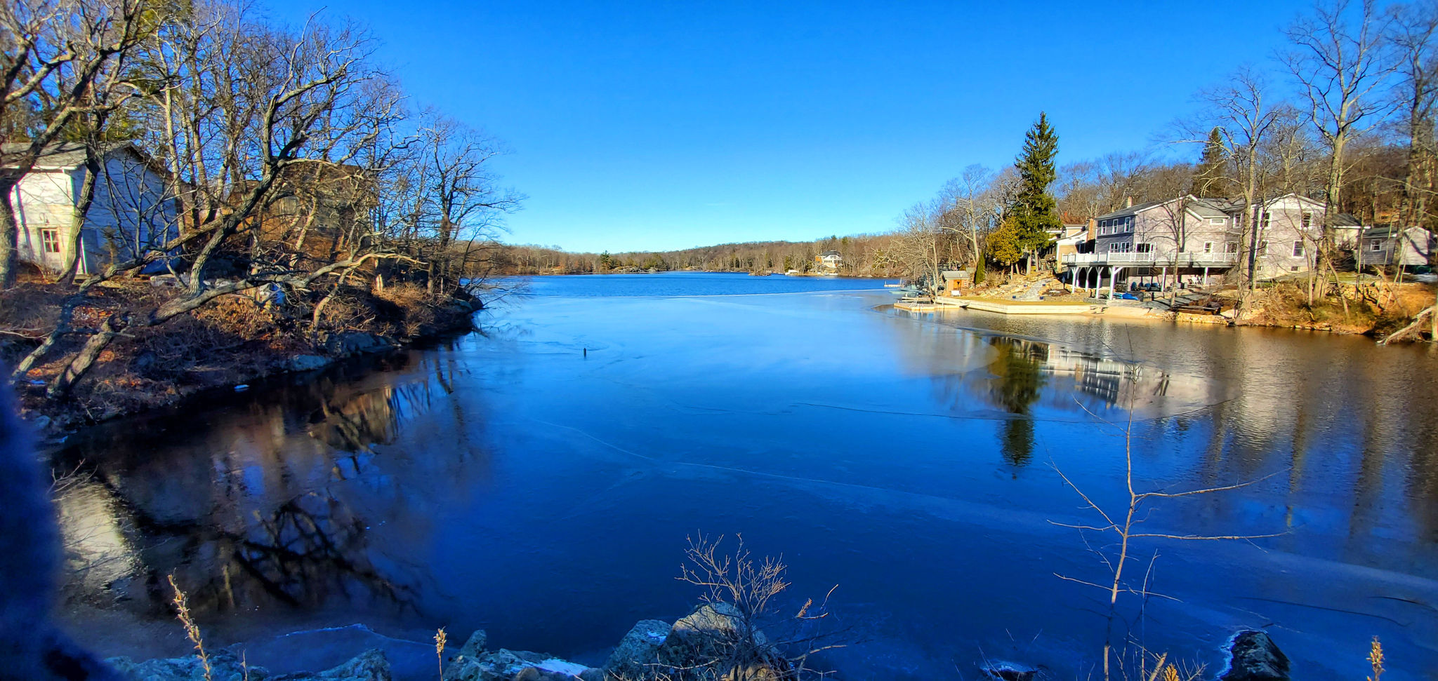
This hike passes through some of the earliest settlement sites within the Borough, including the “Devil’s Footprint”, one of two recognized Lenni Lenape camps found in Hopatcong. It includes a 1/2-mile street segment on Maxim Dr (Sussex Co. Rt 607). The first 1/4-mile of the westward route on the Lake Hopatcong Trail/Highlands Trail (from the Maxim Dr trail head) has some modestly steep up and down segments. These segments should be avoid when conditions are slippery.
Additional Information
Allowed Access
Pedestrians
Activities
Backpacking
Birdwatching
Hiking
Rules & Regulations
Carry Out Trash
Dogs On Leash
No Motorized Wheeled Vehicles
Stewardships
 Owned byLake Hopatcong Foundation
 Managed ByBorough of Hopatcong
 In Partnership WithZufall Health