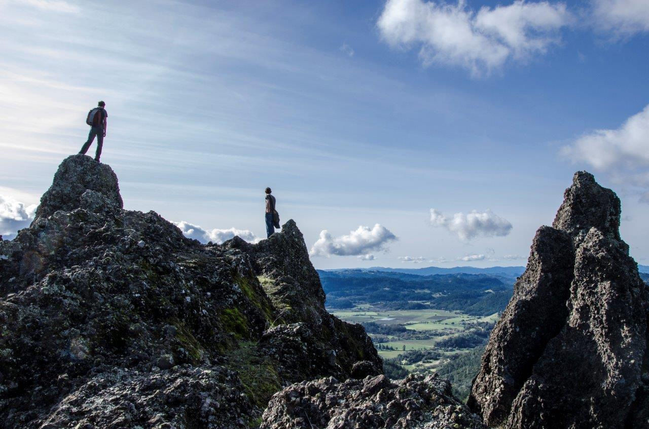
This segment of the Ridge Trail is a steady ascent from the Napa Valley floor to the striking volcanic formations at the ridge. The historic trail is rough and rocky but provides spectacular views of the Napa Valley, Mount St. Helena, and nearby mountain ranges. The trail follows a public easement over private land and passes through state land and Robert Louis Stevenson State Park. This is an advanced, technical trail for mountain bikers. The trail is mostly exposed so start early in warmer weather.
(This trail description is excerpted from the 2019 Guidebook. For details on all trails, trailheads, and more, buy the book from Wilderness Press. For more resources to plan your trip, visit our Trail Tools page.)