Watch raptors soar above open chaparral slopes, take in spectacular views of the Pacific Ocean, follow a moist creekbed, and cross shaded oak woodlands and redwood–fir forests; this trek goes through Mount Tamalpais State Park (as well as GGNRA lands on the Dias Ridge Trail). Hikers and equestrians descend into Frank Valley on the Miwok Trail and mountain bikers descend the Dias Ridge Trail; all users then make a steady climb to the Pantoll Ranger Station. Alternatively, hikers can continue along Dias Ridge as a spur trail to go to Muir Beach or the Pelican Inn.
Cyclists will cross the northwest corner of Muir Woods on the Dias Ridge Trail, which is also accessible as a 3.1 mile one-way spur for hikers and equestrians. Cyclists must ride on 2.1 miles of undedicated roadway to connect to the Deer Park Fire Road.
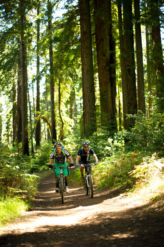
- Accessibility: Hikers, equestrians, and mountain bikers; cyclists must ride on 2.1 miles of undedicated roadway.
(This trail description is excerpted from the 2019 Guidebook. For details on all trails, trailheads, and more, buy the book from Wilderness Press. For more resources to plan your trip, visit our Trail Tools page.)