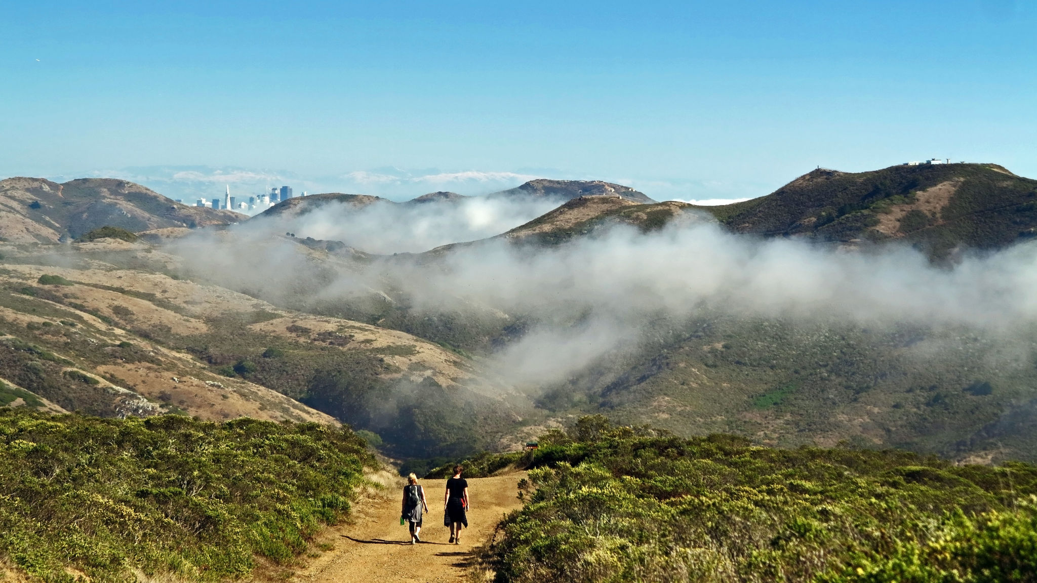
The trailhead in Tennessee Valley lies at a low divide between Coyote and Wolf Ridges, from which creeks ow east to Richardson Bay and west to the ocean. The Bay Area Ridge Trail route climbs northwest along the Miwok Trail, which ascends steeply toward Coyote Ridge. From here you reach CA 1 on a gentle descent along a re road. You’ll have sweeping views of San Francisco Bay and Mount Tamalpais, see bountiful spring wildflowers, and catch cool ocean breezes. Fog and wind will often accompany you over these coastal hillsides.
(This trail description is excerpted from the 2019 Guidebook. For details on all trails, trailheads, and more, buy the book from Wilderness Press. For more resources to plan your trip, visit our Trail Tools page.)