**This outing's route shows the southern segment and can be combined with the northern segment, separated by a one-mile gap (see City of Petaluma Ring Trail for the second route map). Both outing descriptions are included below:**
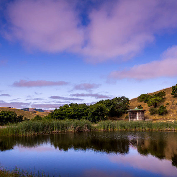
In Petaluma, the 7.2-mile Ridge Trail ventures through a rural regional park and many neighborhoods and parks, including downtown; it also follows both the Petaluma River and Lynch Creek for a stretch. Northeast of US 101, you have an opportunity to explore newer neighborhoods of Petaluma. There is a 1-mile gap between Helen Putnam and the city route. The city section is an excellent bike ride; however, in May 2017 the route lacked Ridge Trail signage. This is a temporary route until the planned route along the Petaluma River, Sholleberger Park, and Adobe Creek Trail can be finished.
(This trail description is excerpted from the 2019 Guidebook. For details on all trails, trailheads, and more, buy the book from Wilderness Press. For more resources to plan your trip, visit our Trail Tools page.)