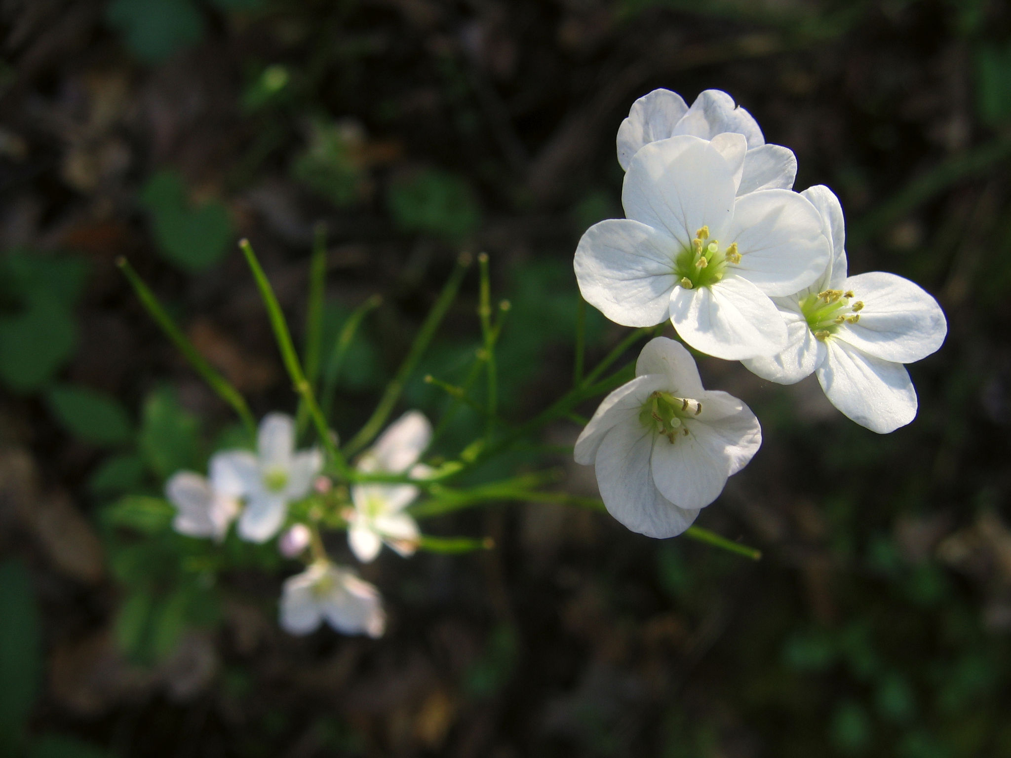
A long ramble through rolling grasslands and wooded canyons arrives at a popular swimming, fishing, and picnicking site. This route begins with a steady 2-mile, 920-foot ascent to Dinosaur Ridge and its 360-degree views, then follows wide service roads along a rolling ridgetop, passes through cattle-grazed lands with little shade, and then descends on a narrow canyon trail to Cull Creek. More than half of the route is open grassland with some oak woodland, and can be hot in summer.
(This trail description is excerpted from the 2019 Guidebook. For details on all trails, trailheads, and more, buy the book from Wilderness Press. For more resources to plan your trip, visit our Trail Tools page.)
