Add your organization to OuterSpatial. Get started now for free.
Crockett Hills Regional Park
image.jpg

Bay Area Ridge Trail: Crockett Hills Regional Park

Outing in Crockett Hills Regional Park

0 Reviews
Claim

Report

Report incorrect or missing information.

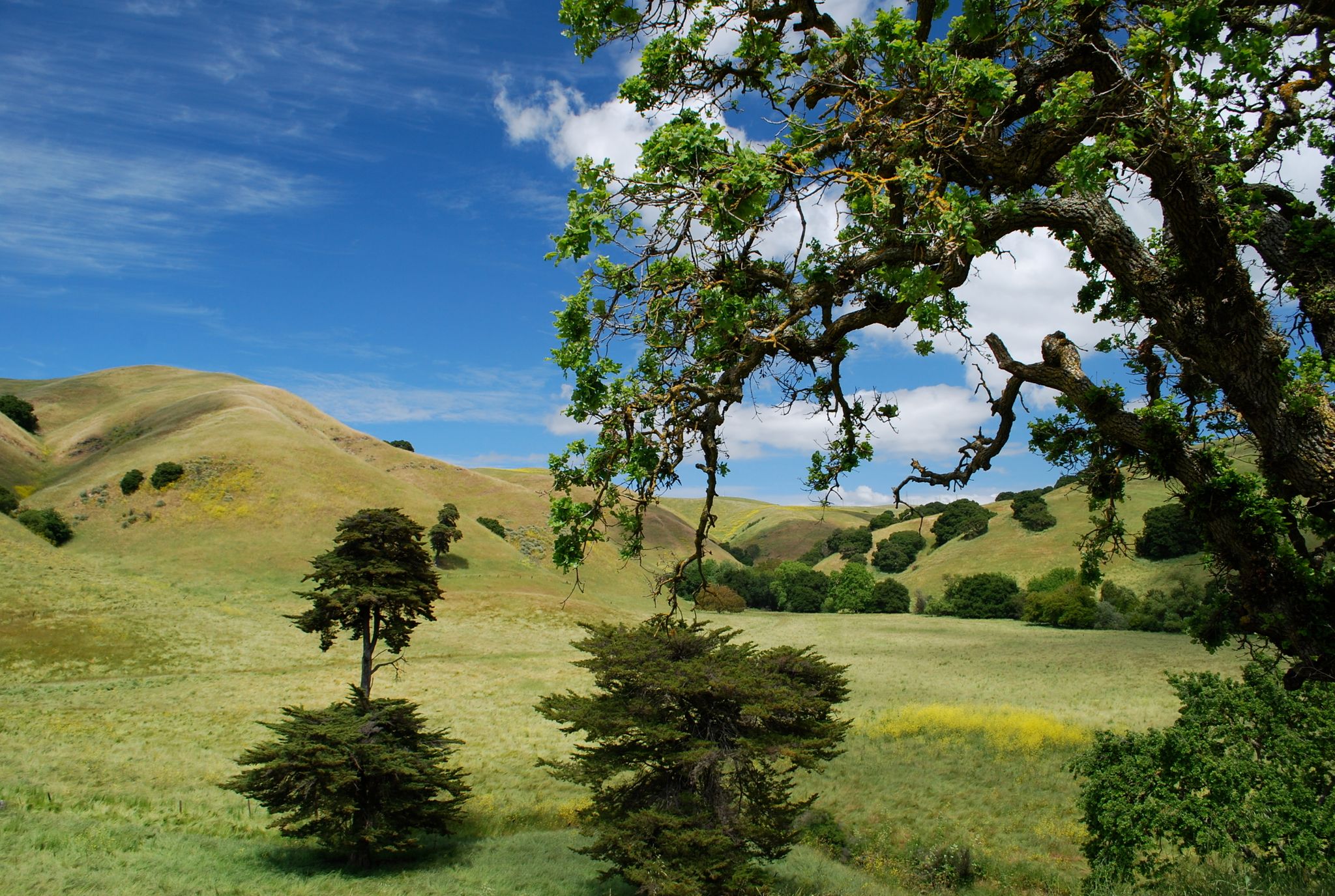
Climb and descend high, hilly grasslands for scenic views southeast to Mount Diablo, west to Mount Tamalpais, and north to the Carquinez Strait. A section of the Carquinez Strait Scenic Loop Trail, the Bay Area Ridge Trail traverses exposed grassy hills south of Cummings Parkway, and can be hot in summer. Watch for ticks on the narrow trails in spring!

    (This trail description is excerpted from the 2019 Guidebook. For details on all trails, trailheads, and more, buy the book from Wilderness Press. For more resources to plan your trip, visit our Trail Tools page.)

    Additional Information

    Allowed Access
    Pedestrians
    Bicycles
    Horses
    Activities
    Walking
    Hiking
    Horseback Riding
    Mountain Biking

    Overview

    • Get Directions
      2092.71 mi Away
    • Lat/Lng
      38.04796, -122.22129
    • Length
      5.57 Miles

    Stewardships