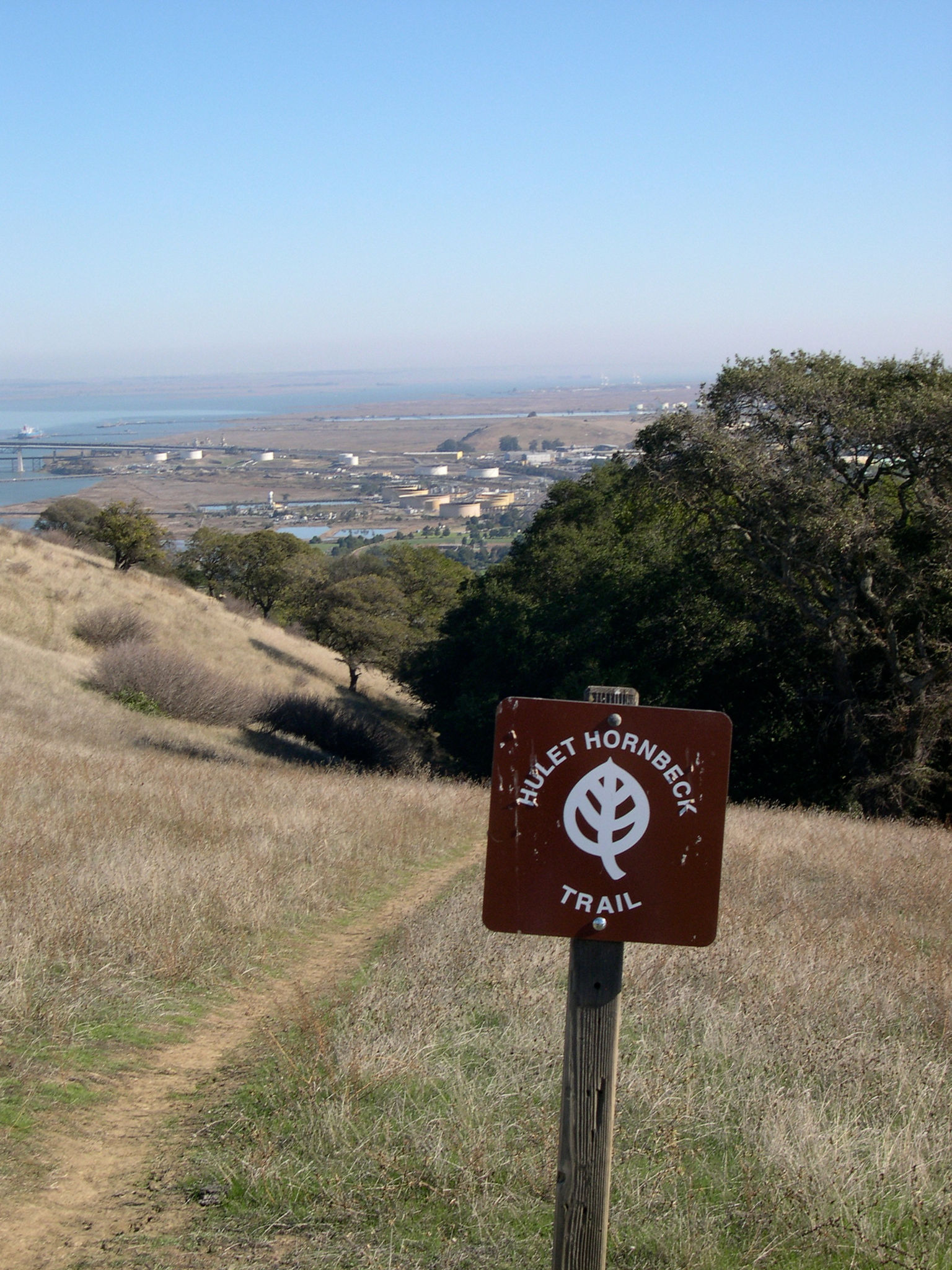
Roam rolling ridgelands in northern Contra Costa County following the old California Riding and Hiking Trail, a round-the-state trail system planned in the mid-twentieth century, and the Carquinez Strait Scenic Loop Trail. The route follows wide, unpaved service roads along the exposed ridge south of the Carquinez Strait to the Franklin Valley, and then enters the national historic site and climbs Mount Wanda, a hilltop that John Muir and his daughters often visited. Some short sections are steep, but the ridgetops offer terrific views in all directions.
(This trail description is excerpted from the 2019 Guidebook. For details on all trails, trailheads, and more, buy the book from Wilderness Press. For more resources to plan your trip, visit our Trail Tools page.)