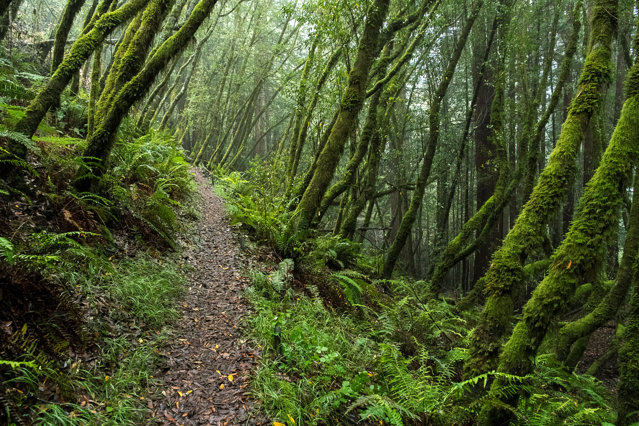
An unpaved road, mostly downhill, runs along the crest of Bolinas Ridge, and from its heights you have magnificent views of the sparkling ocean, Tomales Bay, Point Reyes Peninsula, tree-covered ridges, deep canyons, oak-dotted hills, and distant peaks. On Bolinas Ridge, you travel through damp forests on soft and springy leaf duff; wind through tall chaparral on bare, rocky sandstone; and cross open, cattle-grazed grasslands. After descending to Lagunitas Creek, the shaded Cross Marin Trail is paved from Platform Bridge southeast through Samuel P. Taylor State Park. Weather and temperature vary: On Bolinas Ridge, long, exposed stretches of trail can be windy, hot, or foggy. For bikers, the Bolinas Ridge Trail can be bumpy and rutted.
(This trail description is excerpted from the 2019 Guidebook. For details on all trails, trailheads, and more, buy the book from Wilderness Press. For more resources to plan your trip, visit our Trail Tools page.)