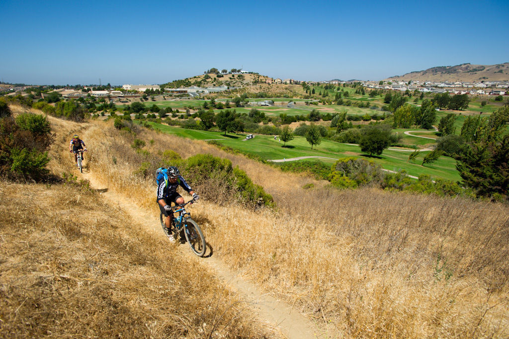
This trip begins on a short round-trip to a rocky ridge and returns to the rolling green lawns and shady picnic areas of Blue Rock Springs Park. It then follows a paved path/sidewalk or bike lane for 2 miles to the Buffer Trail, which meanders 2.9 miles up and down hilly grasslands toward Benicia State Recreation Area, providing outstanding views. The last 0.3-mile section of trail is on city streets in Benicia, including a 0.1-mile undedicated section.
- From: Blue Rock Springs Park in Vallejo
- To: Rose Drive in Benicia
- Length: 5.5 miles one way (plus a 0.4-mile return on a Blue Rock Springs Park trail extension); 3.1 miles one-way for equestrians; 5.1 miles one-way for mountain bikers (includes 0.1-mile gap); car shuttle possible.
- Elevation Gain/Loss: 615 feet/1,070 feet one-way
- Accessibility: Hikers, equestrians, and mountain bikers.
(This trail description is excerpted from the 2019 Guidebook. For details on all trails, trailheads, and more, buy the book from Wilderness Press. For more resources to plan your trip, visit our Trail Tools page.)