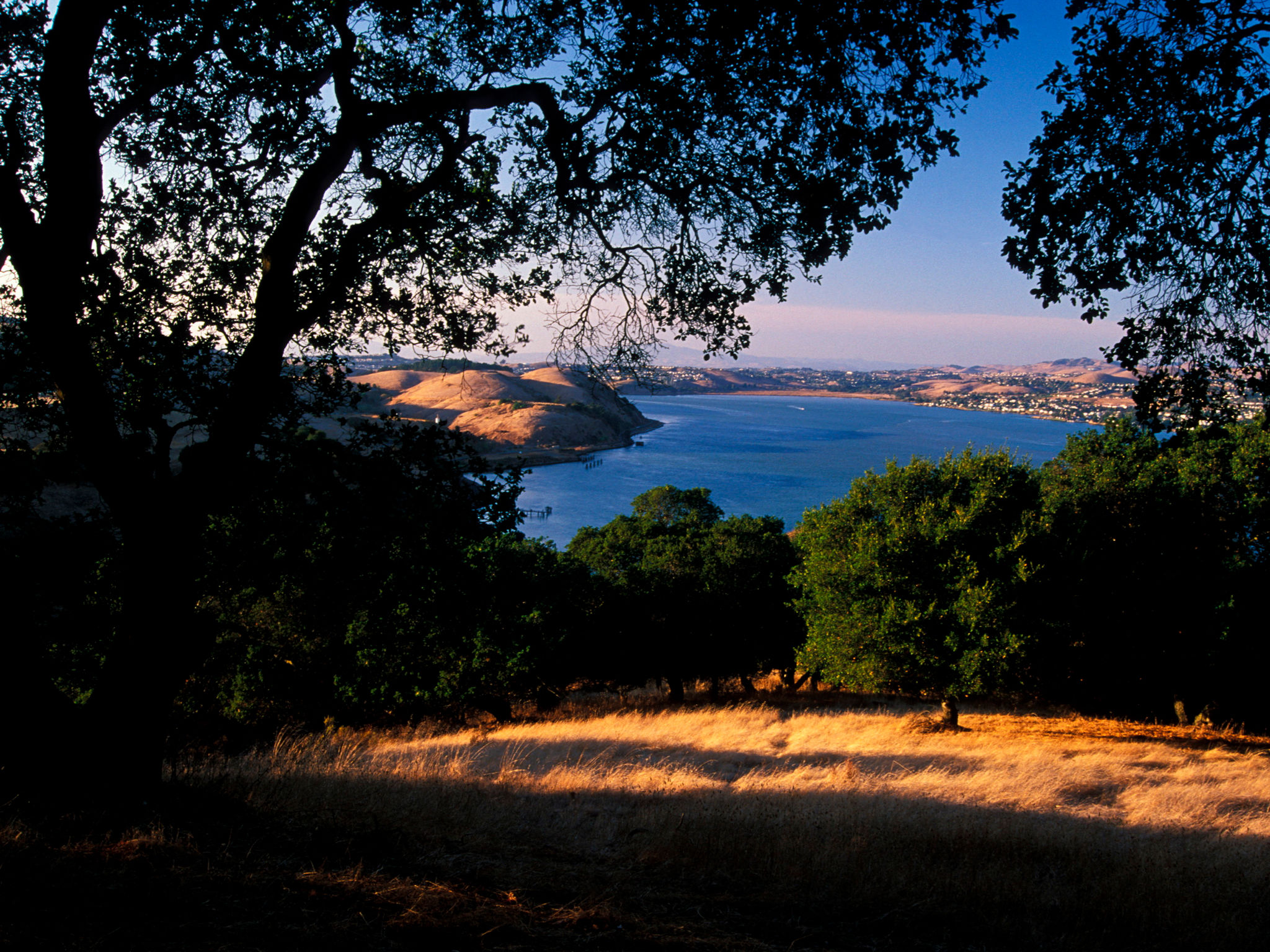
Take a walk or bike ride near the Carquinez Strait shoreline in Martinez, the county seat, experiencing the town’s industrial side, historic downtown, parks, and residential areas. This route, a section of the Carquinez Strait Scenic Loop Trail, follows sidewalks and bike lanes, and ends at the trailhead for the Carquinez Strait Regional Shoreline. A diversion to the Radke Martinez Regional Shoreline makes a pleasant stop.
(This trail description is excerpted from the 2019 Guidebook. For details on all trails, trailheads, and more, buy the book from Wilderness Press. For more resources to plan your trip, visit the Bay Area Ridge Trail's Trail Tools page.)