Add your organization to OuterSpatial. Get started now for free.
The Benicia-Martinez Bridge takes Interstate 680 across the Carquinez Strait in California. Here Benicia is on the left and Martinez is on the right.
image.jpg

Bay Area Ridge Trail: Benicia-Martinez Bridge and Martinez City Streets

Outing 

0 Reviews
Claim

Report

Report incorrect or missing information.

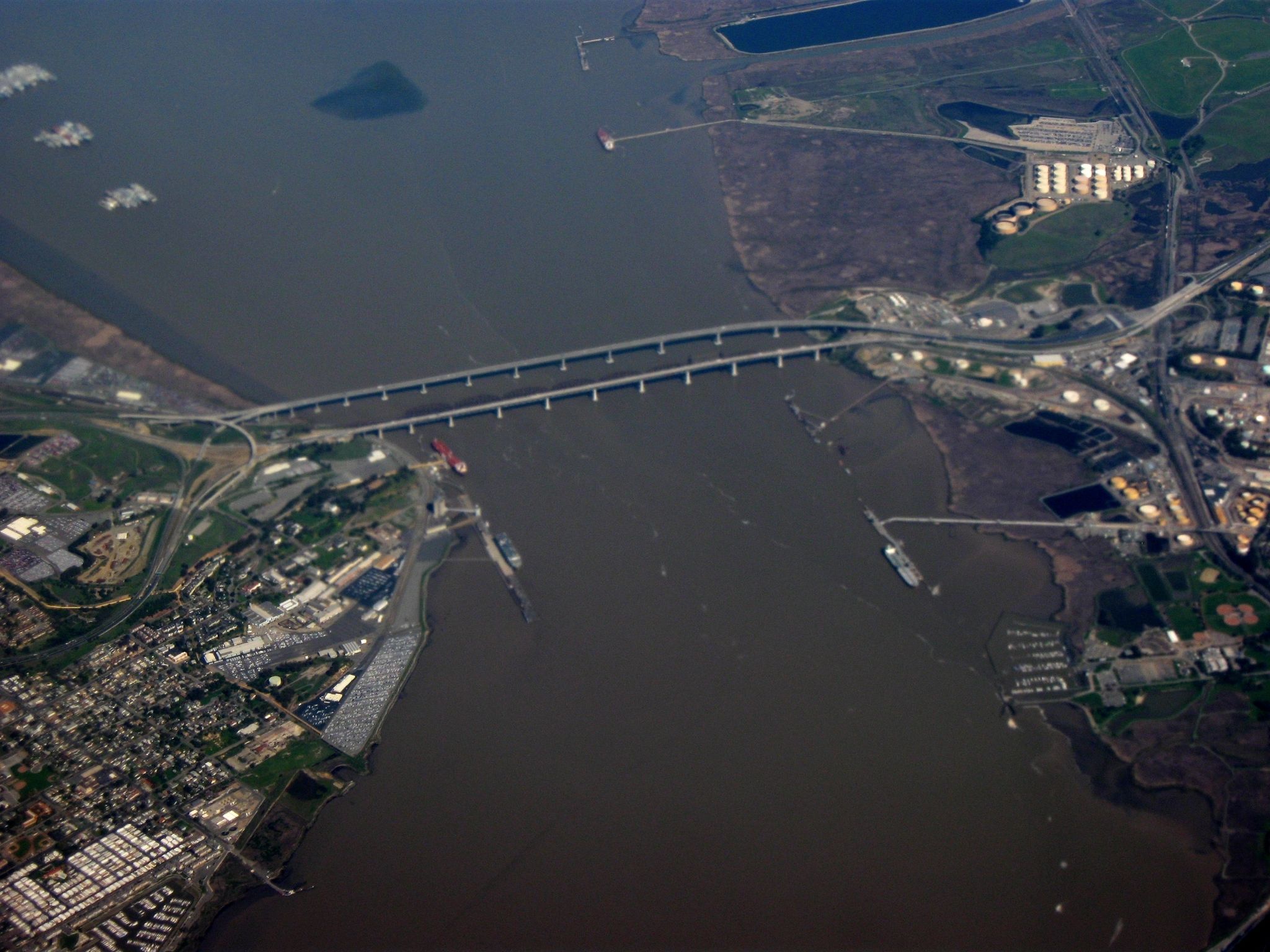
Crossing one of the major Bay Area bridges is a not-to-be missed experience. This segment, a section of the Carquinez Strait Scenic Loop Trail, is especially fun as a bike ride because it is a paved route. Starting in Benicia, you have an opportunity to take a side trip and explore the historic Benicia Arsenal. Cross the Carquinez Strait from Solano County into Contra Costa County and see the maritime activity below. Be prepared for high winds on the bridge.

    (This trail description is excerpted from the 2019 Guidebook. For details on all trails, trailheads, and more, buy the book from Wilderness Press. For more resources to plan your trip, visit the Bay Area Ridge Trail's Trail Tools page.)

    Additional Information

    Allowed Access
    Bicycles
    Pedestrians
    Activities
    Biking
    Hiking
    Birdwatching
    Dog Walking
    Walking
    Accessibility
    Stroller Friendly
    Wheelchair Accessible
    Rules & Regulations
    Dogs On Leash

    Overview

    • Get Directions
      2088.46 mi Away
    • Lat/Lng
      38.04775, -122.13994
    • Length
      2.50 Miles

    Stewardships