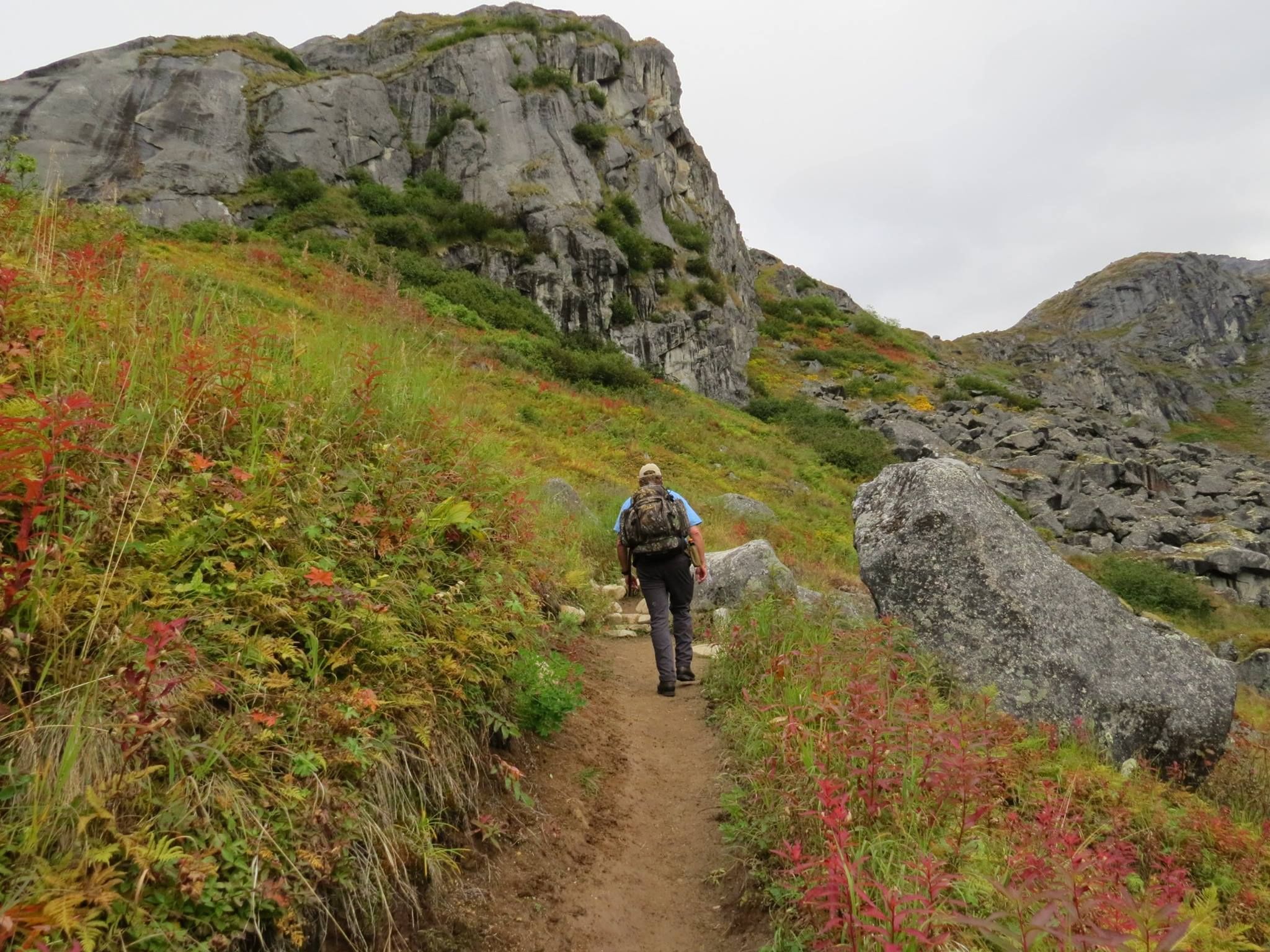
K'esugi Ridge trail is a perennial favorite in Denali State Park. Any section of the 22 mile non-motorized trail makes a great backpacking trip, hike or run. The ridge offers stunning views of the surrounding mountain ranges and Denali. Worth the steep parts of the hike - the ridge is said to be as scenic as Denali National Park.
K'esugi Ridge Trail can be accessed via the Upper Troublesome Creek trail and parking area, via Byers lake campground, via the Ermine Hill Trail and parking area and by the Little Coal Creek Trail and parking area.
Those venturing into this area should be bear-aware and practice precautionary measures
Directions: Take AK-3 N 127 miles. Google Map Directions
Parking: Alaska State Parks annual or day parking pass required.
Built in 1971 it is the most popular Mountaineering Club of Alaska hut because of its ease of access, with no technical travel or large elevation gains. Located in a spectacular setting at the headwaters of Little Susitna River. It is a gateway to the beautiful Talkeetna Mountains and offers the traveler a comfortable rest stop on the Bomber Traverse, a base camp to the assaults on the nearby granite peaks, or a destination in itself.
- Water: Located in a small creek north of the hut, use the large pot in the hut.
- Outhouse: North of the hut. The new, barrel collection outhouse is called the Darth Vader and requires special handling. Do not deposit toilet paper in the outhouse-burn it, otherwise the outhouse will become useless. Do not urinate in the outhouse, it will overflow. Follow these simple rules so we can all enjoy the convenience of the new privy.
- Inventory: Sleeps 8, Stove available, bring your own white gas - a liquid fuel. Do NOT confuse this with white spirits. Multitude of pots, pans, cups and utensils. Lantern, sleeping pads, 2 old sleeping bags for emergency use, library, emergency sleds, ropes, etc... Maintenance supplies, brooms, ladder.
- Windows: The rear window bear guard opens from the outside, make sure to close it on departure to ensure that bears do not get in. Second floor is equipped with a sliding window.
- Location: Little Susitna River, 9 miles from the Motherlode Lodge, ½ mile from Mint Glacier. Elevation 4,350 ft.
- Coordinates: 61 51.406 N 149 04.786 W
Access
Accessing the hut via any of the glaciers requires glacier-travel skills; although the glaciers might seem benign, they are still dangerous. Use caution.
This hut is part of the Mountaineering Club of Alaska Hut System. For more information about the Mountaineering Club of Alaska or the Hut System visit https://www.mtnclubak.org/
Parking: Alaska State Parks annual or day parking pass required.
Bomber Traverse
Bomber hut was built in 1990, it is part of the Bomber Traverse, but can also be utilized as an overnight destination.
- Water: 50 yards slightly to the right of the front door among boulders or use the numerous creeks.
- Outhouse: 20 yards from the front door, burn your used toilet paper.
- Inventory: Sleeps 7-9, insulated, lantern, Coleman 2-burner cook stove, bring your own fuel, books and reading material.
- Location: Bartholf Creek valley, 1 ½ miles north of the Bomber Glacier, 8 miles from the Reed Lakes trailhead. Elevation 3900 feet.
- Coordinates: 61 52.757 N 149 08.122 W
Access
Accessing the hut requires glacier travel skills, beware of inherent risks.
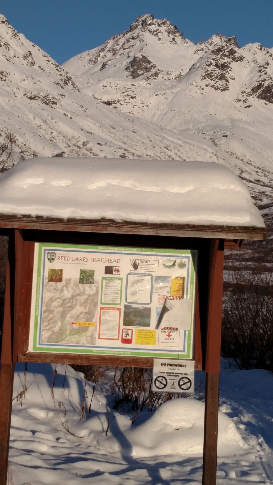
Via Reed Lakes:From the end of Reed Lakes trail ascend northeast toward the northwest ridge of Lynx Peak. Cross over the ridge at its lowest point which is the Bomber Pass (N 61 51.274, W 149 07.995) onto the Bomber glacier. Be aware of the possible avalanches on this slope. Descend the glacier north north-east towards Parliamint Peak. The hut's metallic siding might be visible in the valley below. Get off the ice and descend boulders and tundra to Bartholf Creek, cross the creek over boulders and you will come up on the hut within 100 yards on a bench.
Via Snowbird Glacier: Be aware of avalanches on this route, it might be slightly less risky than Reed Lakes route, but it is still prone to slides.
Take the trail to Reed Lakes, but before crossing Glacier Creek, find a trail to the left. Ascend for about 1200 feet to Snowbird Mine where the trail ends. Continue past the ruins and follow the creek short ways up valley. Begin ascending trending left over scree, boulders and dwindling trail as you follow Glacier Creek past Didilkama. Eventually climb to the pass between Didilkama and Lower Tower at upper Snowbird Pass. Descend the glacier. As you descend you will notice the American Alpine Club dome-shaped hut on the right moraine. Continue down the glacier to the terminus and either follow the outlet creek over some waterfalls or follow the ridge to the left. Continue past the lake and follow Bartholf Creek north through heavy bushwhacking and boulders. About 1 ½ miles from the lake turn right and ascend the eastern branch of Bartholf. The hut might be visible far in the distance. Follow the creek through some brush for two miles. The hut is on the north side of the creek on a tundra bench overlooking a lake to the left. If you go too far you will run into one of the glaciers feeding the creek so turn around and look for the hut again.
Via Mint Hut:From the rear of the Mint Hut head up the valley trending left towards a large boulder slope. Beware of avalanche conditions on the slope. Ascend the slope to a pass between Tenemint and Hunchback Spire. You are at the Backdoor Gap (5650 feet, N 61 51.734, W 149 05.761) Descend Penny Royal Glacier past Parliament Peak, keep descending left (west). Cross East branch of Bartholf Creek below the waterfall and continue west about ½ mile to the tundra bench where the hut is located.
This hut is part of the Mountaineering Club of Alaska Hut System. For more information about the Mountaineering Club of Alaska or the Hut System visit https://www.mtnclubak.org/
Parking: Alaska State Parks annual or day parking pass required.


