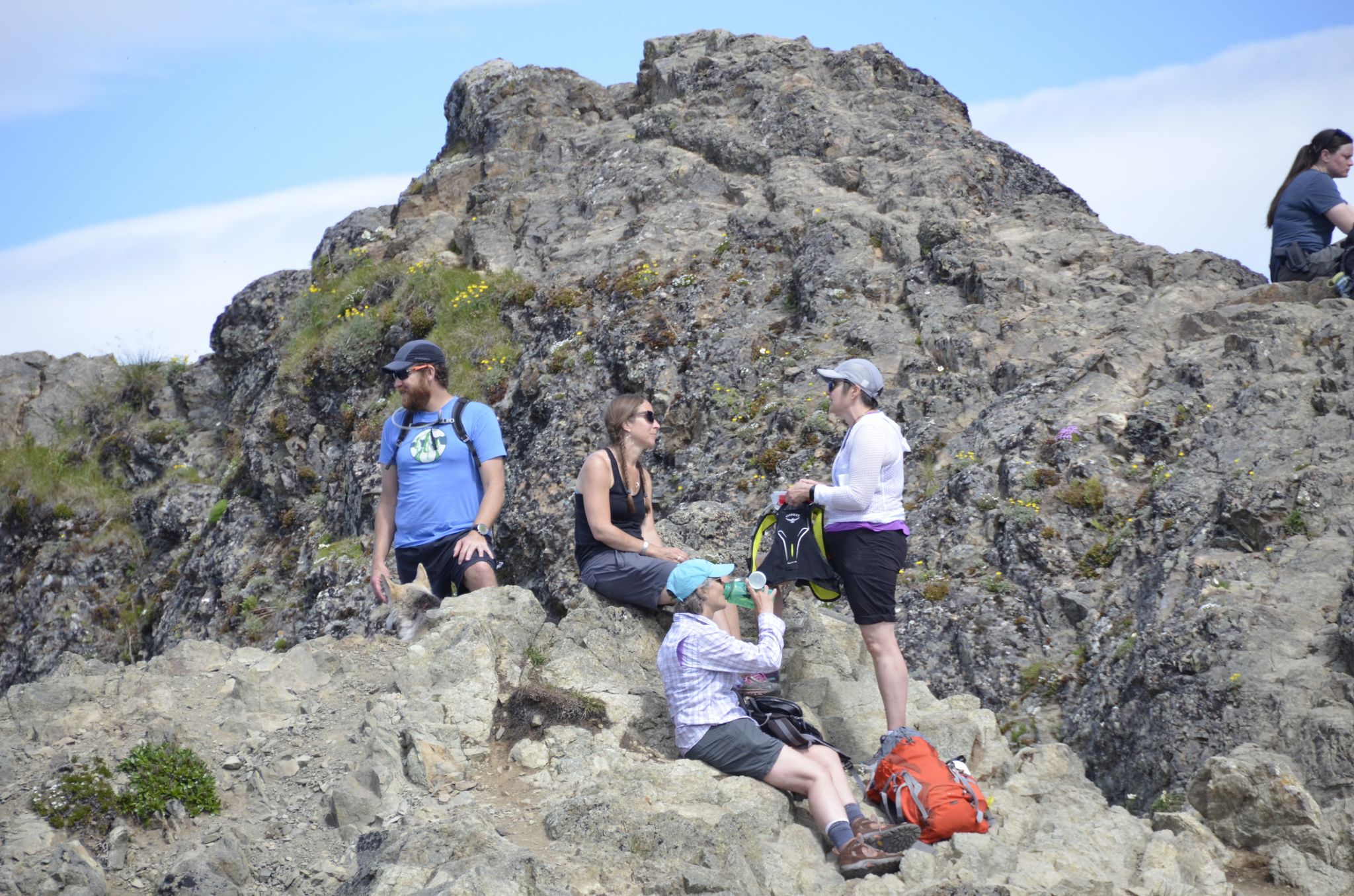
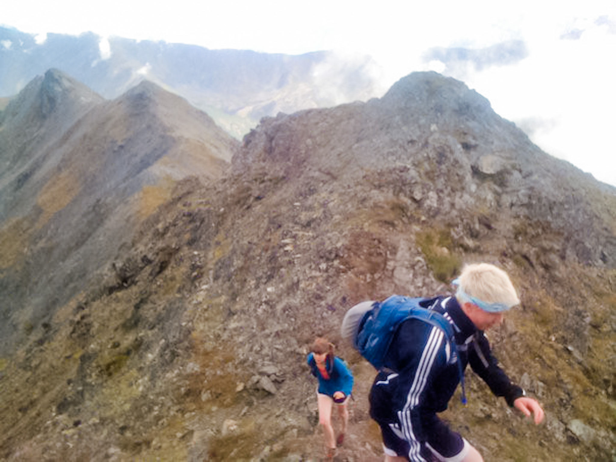
Two hiking trails lead you up steep Government Peak in the Talkeetna Mountains. The Government Peak Race Trail begins on the Matanuska Loop. The 3.5-mile trail travels through forest until it reaches the start of an incline. The unrelenting slope up Government Peak Trail is a mental test of endurance. Up top, the payoff is a far-reaching alpine view of Knik Arm, a vast valley floor, and the Knik Glacier. At your back, the countless ridges of the Talkeetna Mountains are visible. The Blueberry Knoll Trail is a gentler hike for some 1.5 miles.
Directions: From Palmer take the Palmer-Fishhook Road toward Hatcher Pass. At mile 7, turn left onto Edgerton Parks Road. Drive one mile. Take a right on Mountain Trails Drive, the parking area and main trailhead is past the gate. Google Map Directions.
Gate: The gate at the bottom of Mountain Trails Drive opens at 8 am and closes at 10 pm.
Parking:This is a Mat-Su Borough Trailhead and requires a $5 single use day pass, or an annual parking pass.
https://www.matsugov.us/trails/gpra-summer
The trail passes through forest to alpine to talus field to pinnacle. The view atop Matanuska Peak is spectacular, especially since grandeur lays at your feet. You stand on rock overlooking countless snowy ridges of the Chugach Mountain Range. The tallest of them 39 miles in the distance, 13,176 foot Mount Marcus Baker, is one of the top 75 peaks in the world. Cook Inlet and the Knik and Matanuska rivers are visible below.
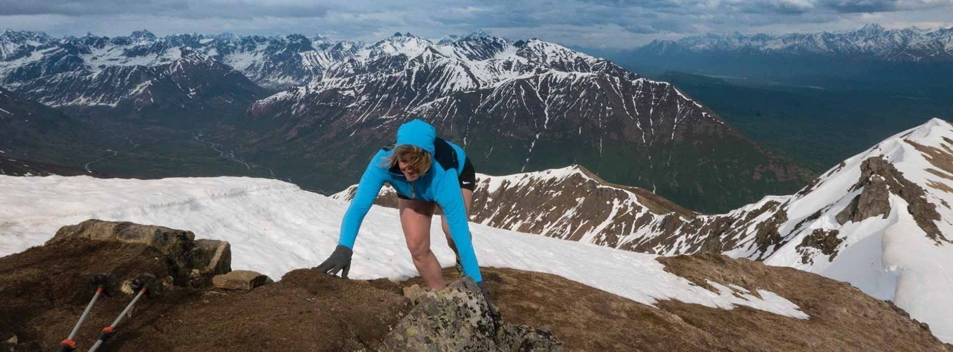
The climb is steep. In the fall, the ground covering of kinnikinnick carpets the sides of the trail in red before the grassy incline hardens into a steep slope of rock debris, which you must scramble up to reach the top. Gloves are a good idea to protect the hands of hikers. Be careful of dislodging loose large rock.
The trail climbs 5,670 feet in just over 4 miles. The hike can be done in a long day. Some prefer to camp overnight. This is a strenuous trail. Bring enough food, water, and clothing, and know your limits.
Directions: From Palmer, drive east on the Old Glenn Highway. At 3.5 miles take a left on Smith Road. Drive 1.5 miles to the end of the road, where there is a small parking lot. Not long after you begin walking the trail, the Matanuska Peak Trail begins by taking a left into the woods at the base of a steep gravel road.
Parking: This is a Mat-Su Borough Trailhead and requires a $5 single use day pass, or an annual parking pass.
The Pioneer Ridge-Austin Helmers Trail can be completed in a long day, though some prefer to camp. It begins in forest. The route traverses the northeast slope of Pioneer Peak, climbing more than 5,000 feet in 4.5 miles. At 2,000 feet, the trail switchbacks, and then opens onto a treeless ridge at the 11,000-foot distance marker. A picnic table is soon to come. For some, this is a nice goal in itself. At 3,200 feet, hikers crest the ridge. By the 5,300 foot elevation, the top of Pioneer Ridge Trail is achieved. Views reach far to the Knik Glacier, the Matanuska River Valley, the Talkeetna Mountains and, on a clear day, Denali is lit up in the sunny distance.
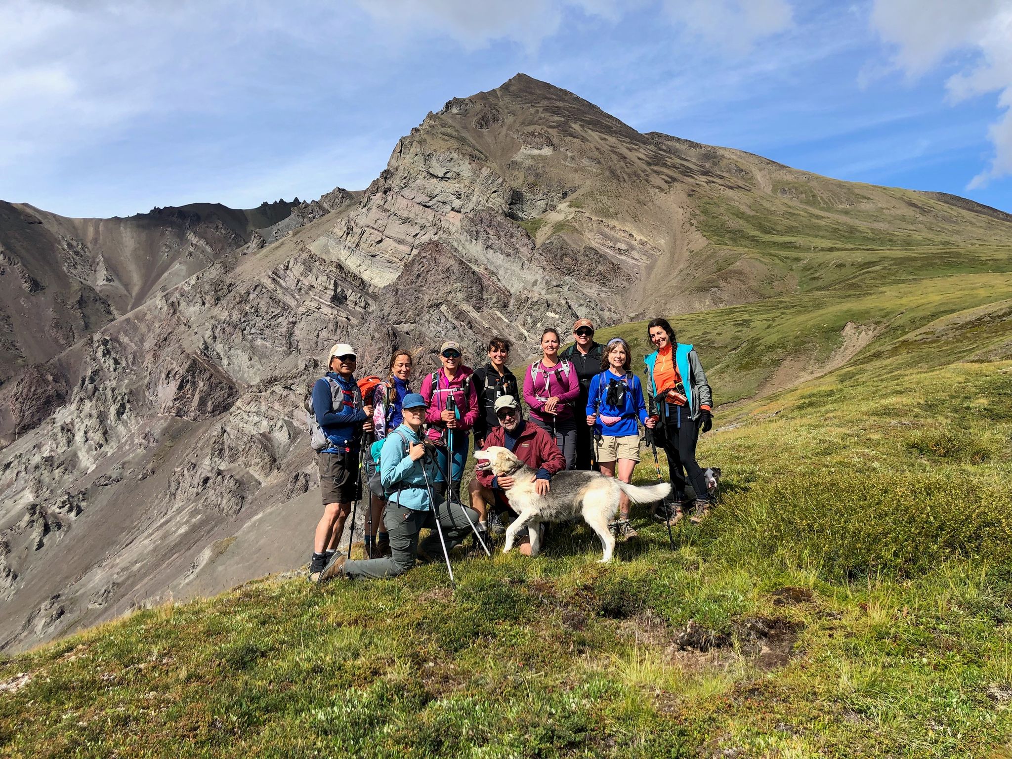
Before pushing to one of the summits, consider the sunset hour and your energy level. From the ridge, it’s another 1.5 miles to the south summit. Dogs beyond here become problematic. While the summit push is moderate, it sometimes requires hikers to scramble on all fours for balance. The crumbly Chugach Mountain terrain is known to deposit loose rock in your hand, what’s called “Chugach crud.” Test all handholds and footholds before trusting. Steep drops-offs and unclear paths require your focus. Arriving is grand at 6,398 feet above the Valley floor.
Directions: From Palmer take the Old Glenn Highway for 9.5 miles, cross the Knik River Bridge. Take a left on Knik River Road. Drive for 3.5 miles to the trailhead parking on the right.
Parking: This is a Mat-Su Borough Trailhead and requires a $5 single use day pass, or an annual parking pass.
This 3.7 mile trail begins at the base of Gunsight mountain and hikes it's slopes to a stunning vista. The trail departs from a turn out off an abandoned part of the Glenn Highway and does not have a trailhead sign or trail markers. There is an average elevation gain of 789 feet per mile. There are no restrictions for motorized vehicles, but the latter portions of the trail are steep and better for hiking.
This trail is multi-use and traversed by snow-machine in winter.
Directions: From downtown Palmer take the Glenn Highway (Hwy 1) North for 78 miles. Turn left on Eagle River Trail. Google Map Directions
Parking: No parking fee required for this location.
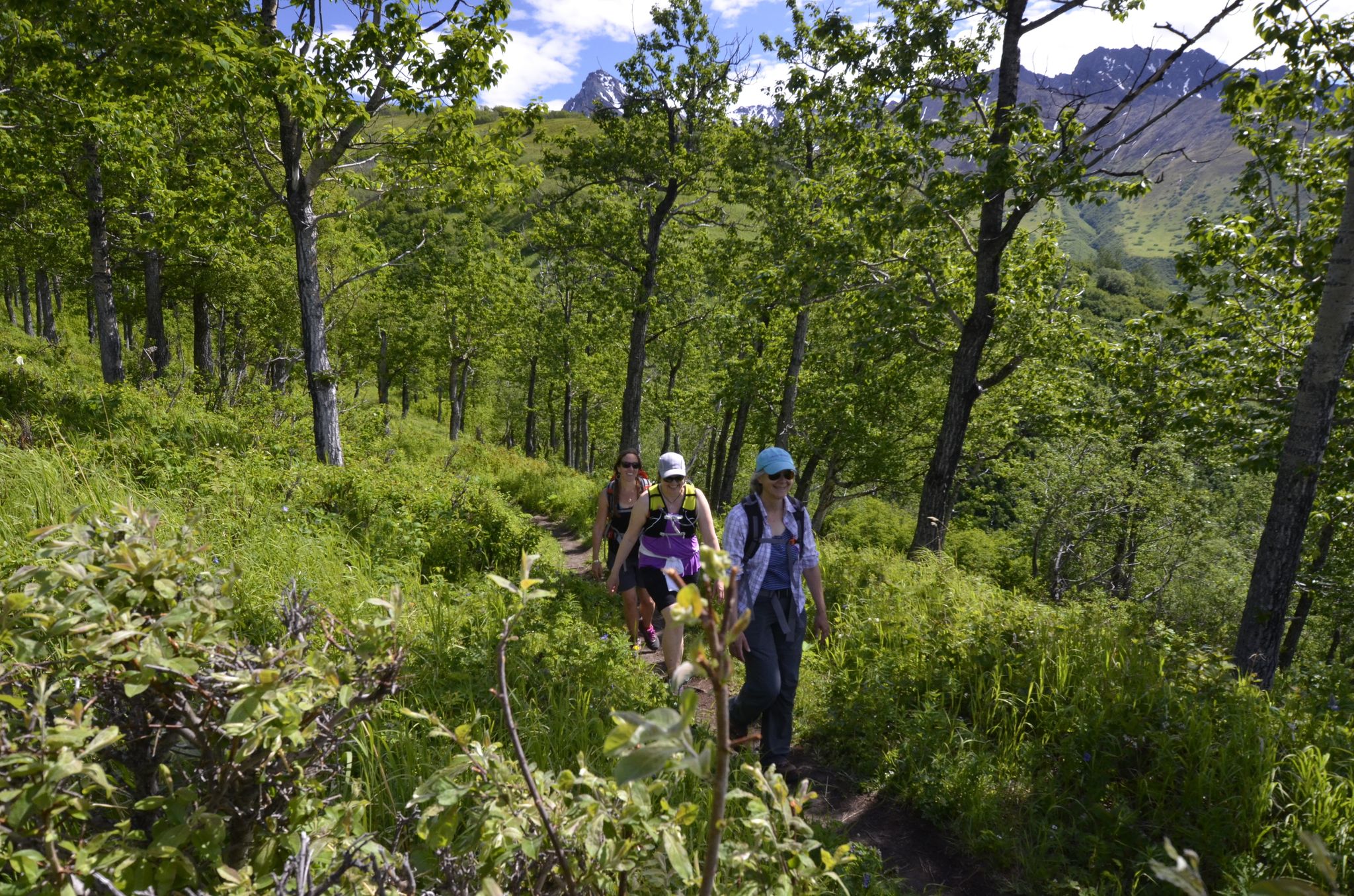
Two trails with different appeal are here. The newer Lazy Moose Trail is a gentle ascent. The steep Lazy Mountain Trail reshapes you. It stretches tendons going up. If you are not a regular climber, going down can make quads so sore that the pain has its own catch phrase: Lazy Legs. The climb is 3,000 feet in less than two miles. The first half moves through cottonwoods, aspen, spruce, birch, and tall fireweed. At about 1,500 feet in elevation the trail crosses
into alpine tundra and offers sweeping views of the Knik and Matanuska Rivers. A picnic table awaits here at the halfway mark. Scrappy mountain runners train on Lazy slopes. Lazy Mountain has become a hiking highway recently. In icy winter, hikers wear microspikes. Summiting Lazy at 3,720 feet gives magnificent views of the Chugach and Talkeetna Mountains. The longer, less steep, Lazy Moose
Trail, zigzags up the hill for three miles. Access this gentler trail at the beginning to the right. Lazy Moose reconnects with Lazy Mountain Trail above the first picnic table.
Parking: This is a Mat-Su Borough Trailhead and requires a $5 single use day pass, or an annual parking pass.
Directions: From Palmer, go east on the Old Glenn Highway 2.5 miles, take a left on Clark-Wolverine Road. Proceed 1⁄2 mile to a T intersection. Take a right on Huntley Road, follow it to the end, take a right to the Lazy Mountain Recreation Area and trailhead. Google Map Directions
Hicks Creek to Mount Monarch
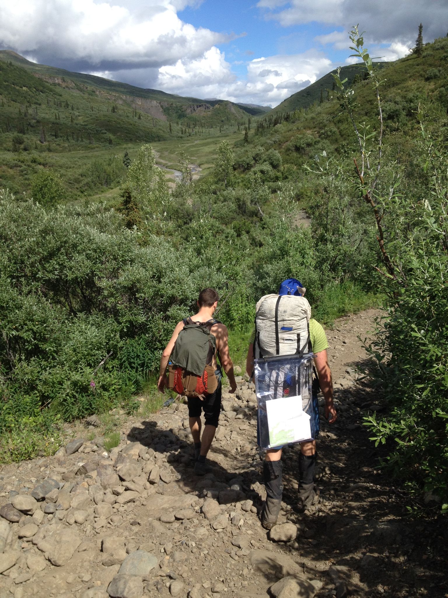
Departing past mile 99 of the Glenn Highway, Hicks Creek Trail is an often-muddy multi-use trail with lots of potential for good hiking and backpacking. The trail provides access to other trails deeper in the Talkeetna Range. Park at pull-out along the highway, or drive in Pinochle Lane to a public parking area next to a private campground. The trail braids frequently as alternate routes are established to avoid boggy areas created by ATV use.
The first miles of the trail are over short rolling hills, then the trail climbs steeply up to a ridge and down to a scenic broad and boggy pass before descending along Divide Creek to the beautiful Caribou Creek and the Caribou Creek Trail.
To ascend Mt. Monarch go up the center of the drainage path to the west of the SE ridge of the Mountain. GPS Tracks
Hicks Creek Trail is part of the 40 mile Chitna Pass backpacking loop as described in 55 Ways to the Wilderness in Southcentral Alaska. Beginning on Hicks Creek Trail, the challenging route then follows Caribou Creek Trail up to Chitna Pass (4800') before descending Boulder Creek.

