Blueberry Knoll Hiking Trail at Government Peak Recreation Area
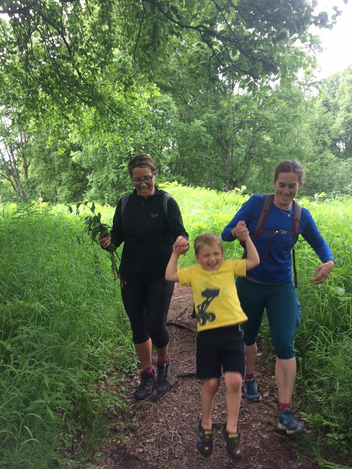
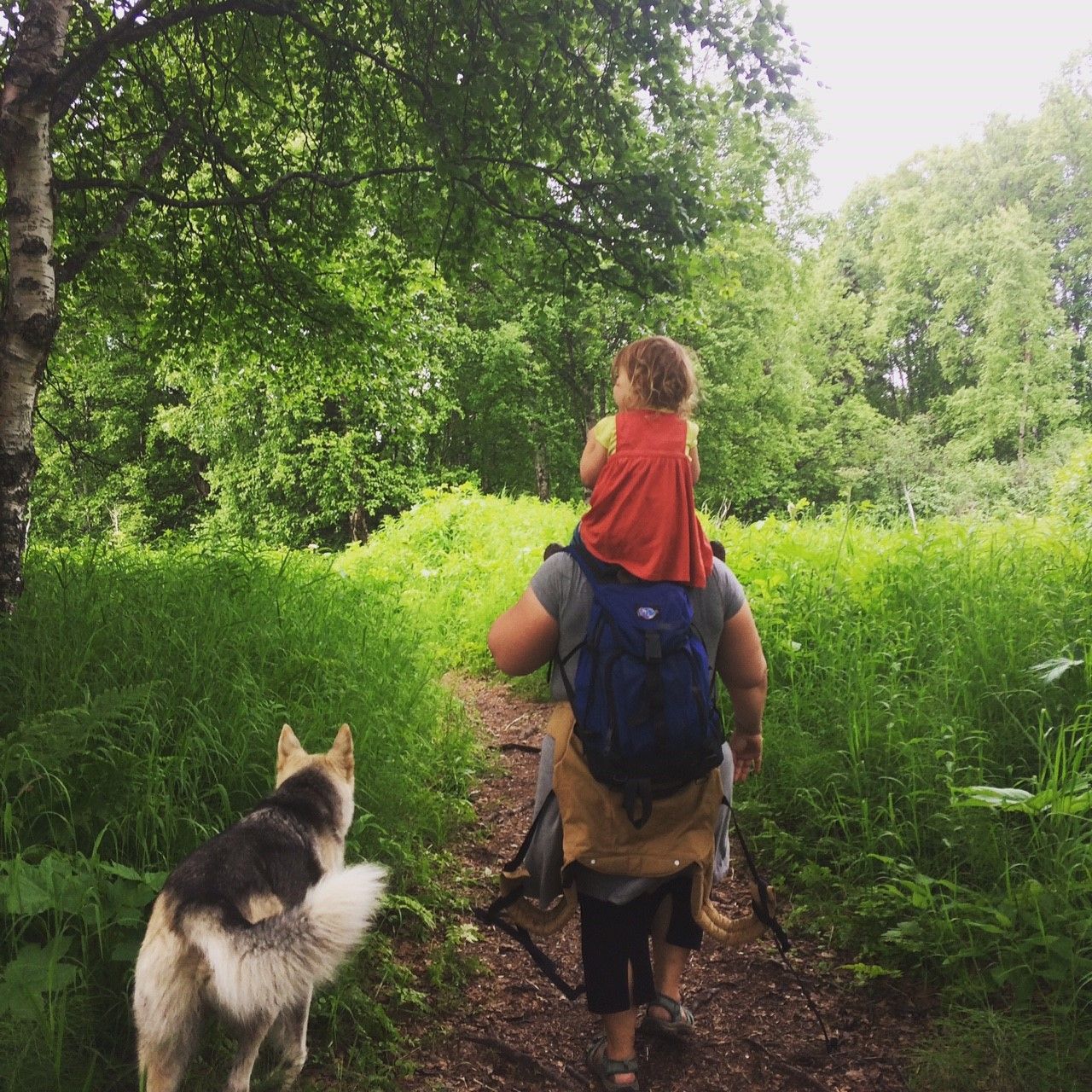
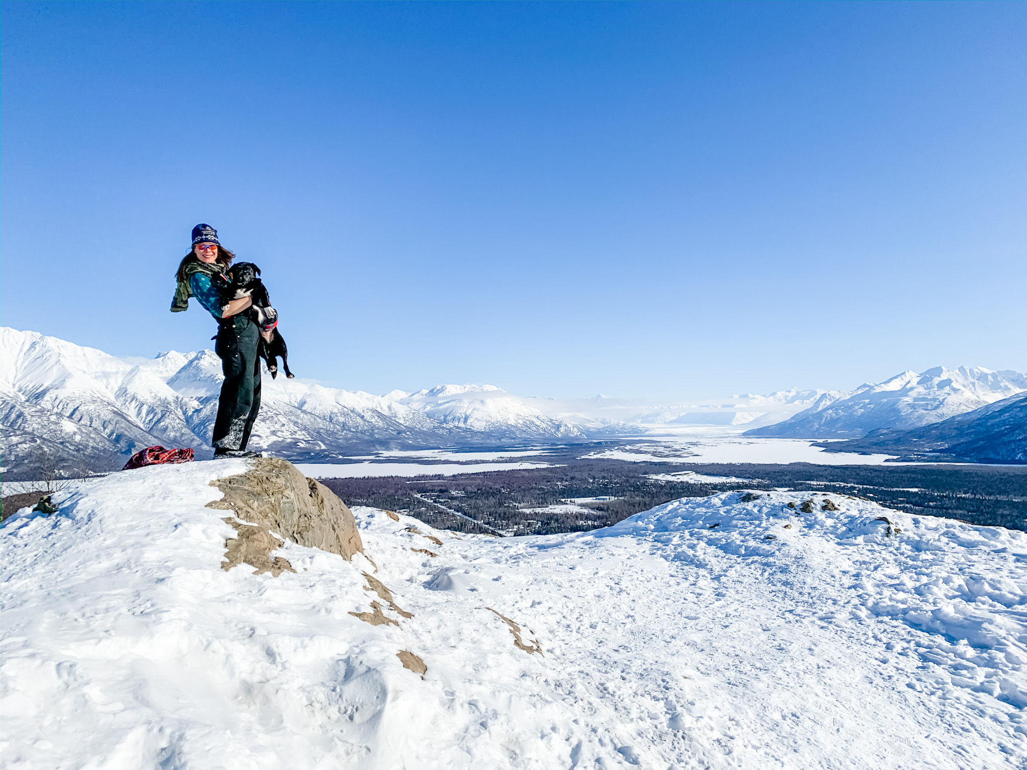
The Blueberry Knoll Hiking Trail at Government Peak Recreation Area is 1.5 miles, moderately steep, and has great views. There is a picnic table at the top of the knoll, where one can look out onto the Matanuska Valley. This is a great location for a well-earned picnic lunch with the family!
Please be advised that stinging nettles are present in this area during the mid to late summer - long pants are recommended.
Directions: From Palmer take the Palmer-Fishhook Road toward Hatcher Pass. At mile 7, turn left onto Edgerton Parks Road. Drive one mile. Take a right on Mountain Trails Drive, the parking area and main trailhead is past the gate. Google Map Directions.
Gate: The gate at the bottom of Mountain Trails Drive opens at 8 am and closes at 10 pm.
Parking:This is a Mat-Su Borough Trailhead and requires a $5 single use day pass, or an annual parking pass.
https://www.matsugov.us/docs/general/16834/governmentpeaksummer.pdf
Bodenburg Butte is the Mat-Su valleys' most popular hike - for good reason. A moderately steep, well-constructed trail leads two miles to the top of Bodenburg Butte, where one can experience stunning 360 views of the Knik glacier, Pioneer Peak, Talkeetna Mountains and valley farms below.
The trail begins a wide path through boreal forest with periodic benches and interpretive signs, then reaches sets of stairs that switchback uphill. A dusty path through rose bushes and small trees reaches the open, rocky top of the Butte. Great photo opportunities can be had from the summit. When descending, be sure to hike down the way you came up. A variety of unmaintained trails descend the opposite side.
The trail can be hiked in winter or summer. Winter conditions can be icy - consider bringing ice cleats.
https://www.matsugov.us/trails/westbutte
Curry Ridge Trail is a 6.5-mile trail with spectacular views of the Alaska Range. It is in Denali State Park and can be accessed from Kesugi Ken Campground.
Gold Cord Lake is a very popular summer destination for visitors to Independence Mine State Historical Park and Hatcher Pass. The trail is just under one mile each way and accesses a deep blue glacial tarn (a lake formed by glaciers). The trail is gently graded for the first half, becoming briefly steep as it switchbacks up the terminal moraine to the lake. From the lake hikers have a commanding view of Independence Mine, Gold Cord Mine, and good views back down the valley to Hatcher Pass.
Conditions are best from mid-summer through early fall. The trail may be muddy and snowy in the spring and is fully snow covered in the winter when the area is used for skiing.
If parking in the Upper Parking Lot, visitors should be aware that there is a gate at the bottom of the road which is locked at night and vehicles still in the Upper Lot may be locked in. For current gate hours contact Alaska State Parks Finger Lake Office or Salmonberry Tours. Visitors may choose to park below the gate in the Lower Parking Lot and walk up the road instead. It is one mile from the Lower Lot to the trailhead.
For more information on Gold Cord Lake, click here.
This trail begins with switchbacks, taking you through a small valley with a cirque lake and several small ponds. It soon turns into a ridge trail and is extremely narrow and rough, ending at Hatch Peak.
Access: Mile 19 of the Hatcher Pass Road Travel Means: Foot Distance: 2.2 miles round trip Elevation Gain: About 800 feet


