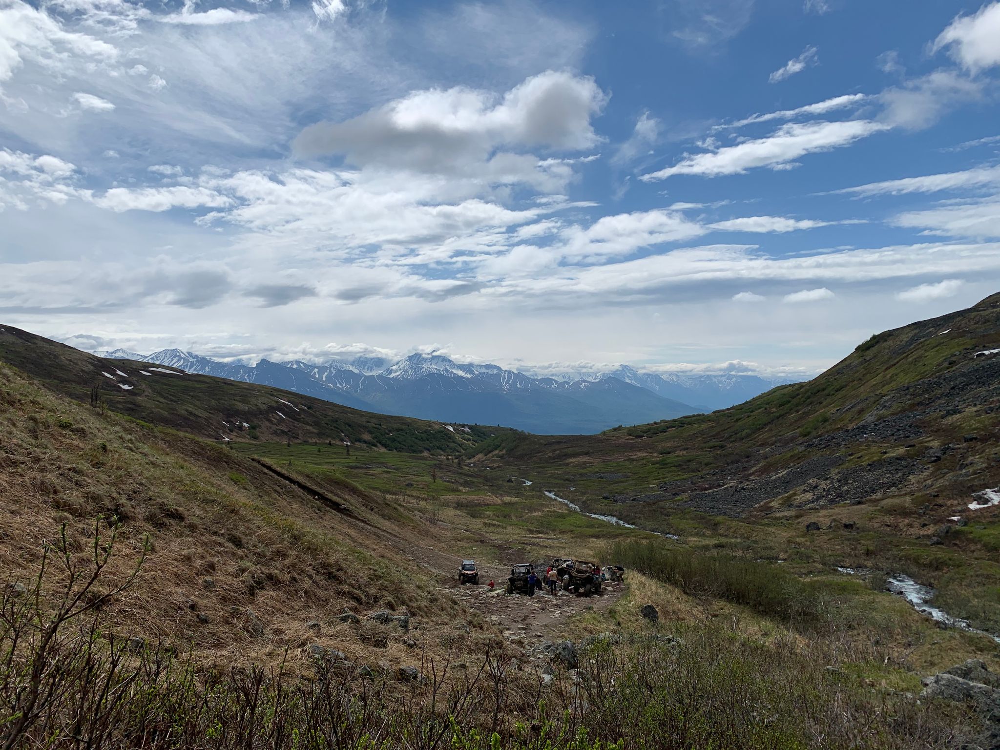
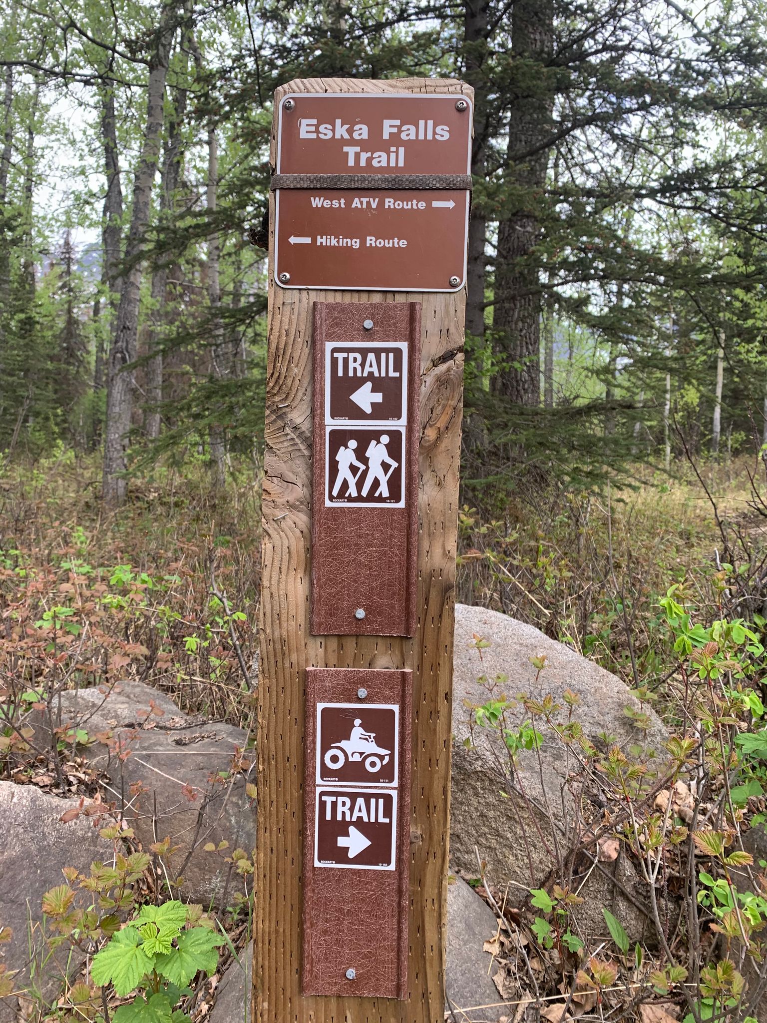
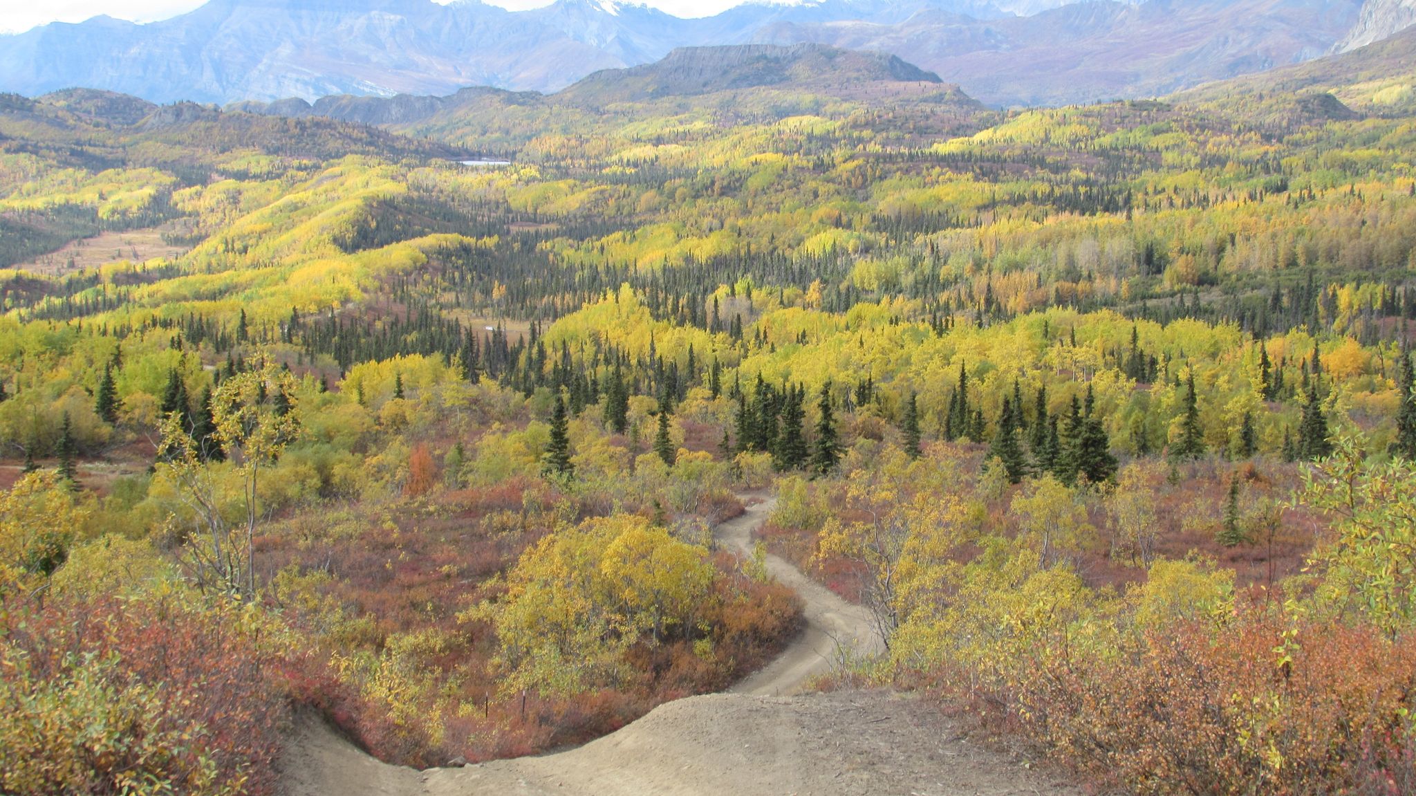
The Eska Falls Trail is a calssic ATV ride and is appreciated by locals and visitors.
Directions: From Sutton go north on Jonesville Mine Road for two miles. The road turns to gravel. Slipper Lake Road will be on your left. Continue north to the first fork in the road and veer left. Stay left at each fork for the next 1.75 miles. A short walk to a cul-de-sac marks the start of the trail. Tight parking spaces are here. Keep in mind that the hiking trail ends when it intersects with the ATV trail. The ATV trail leads to Eska Falls.
If you're looking for a trail with great scenery in a historical setting, Craigie Creek Trail is the place. The trail is an old gravel/rock mining road that travels 4.5 miles from near Hatcher Pass Road to Dog Sled Pass and Schroff Lake above. The elevation gain of 1,400’ is gradual at the beginning but the increases the last mile to the 4,200’ level at the pass and lake. The Craigie Creek area is rich in mining history which you can see by remnants of buildings and equipment along the trail. Lucky Shot and War Baby mines are located on the mountainside above and during the 1930’s, there was a population large enough for its own post office.
Directions: From downtown Palmer take the Glenn Highway (Hwy 1) North for two miles. Turn left onto Palmer Fishhook Rd drive 8.5 miles, and turn left to stay onto the Fishhook-Willow Rd (this road is only open during the summer). Drive five miles, trailhead will be a pullout on the right. Google Map Directions
Parking: No parking fee required at this location. This is a multi-use motorized trail, do not block access to the trail when parking.
The Matanuska Borough’s Jim Creek parcel’s natural character is heavily influenced by the dynamic Knik River, the Knik Glacier, and the Chugach Mountains. Soils are glacial, including gravelly till and outwash, overlain by shallow to deep silty soils. Stream bank and wind erosion are active on uplands directly adjacent to the Knik River.
A network of motorized trails threads through the Jim Creek Recreation Area, providing a maze of fun for ATVs, dirt-bikes, and pedestrians. Trails include the Tech Trail, as well as the Envy and Sexton Trail which connect to the Jim Creek/Knik Glacier Trail.
The Purinton Creek Trail is a 9-mile, wide trail leading from the Glenn highway. This is a popular hunting trail in the fall and is used year-round for recreation. The trail navigates steep rolling hills through tundra. The trail is often muddy, with deep 4-wheeler ruts, but pleasant in dry weather. The parking area is a wide pull-off the highway.
The 3.5 mile Rippy Trail starts after the shooting range at a curve where the road turns south down to Jim lake. This multi-use trail offers lovely views of Pioneer Peak, Knik Arm and Knik Glacier and nearby wetlands. While often busy with motorized traffic on weekends, it can offer solitude for hiking, running, and mountain biking at other times. Just after crossing the metal bridge across Jim Creek, the Chain Lakes Trail continues onward for Pedestrian use, while the Rippy trail splits into a turnaround loop.
This area is premier salmon, bird and wildlife habitat
Trail users with dogs should be advised that trapping takes place on this trail.
Chase Trail
This scenic multi-use trail follows the Alaska Rail Line north of Talkeetna and is an access route for Chase community residents. The trail begins as a flat, gravel trail from Chase Trailhead (take a right at the end of Talkeetna Spur Road) and continues across a scenic bridge over the Talkeetna River just above where it merges with the Susitna River. The bridge limits and vehicles or equipment to 45 inches wide. ATVs, hikers, and bikers frequently traverse this trail, which becomes increasingly hilly and muddy several miles in.


