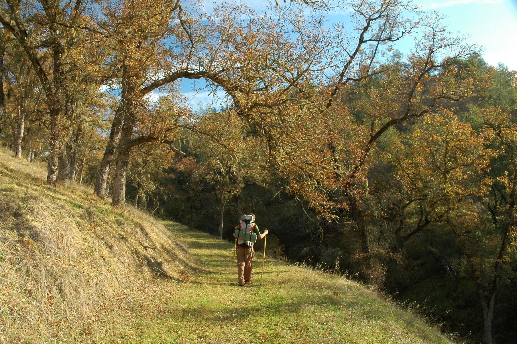
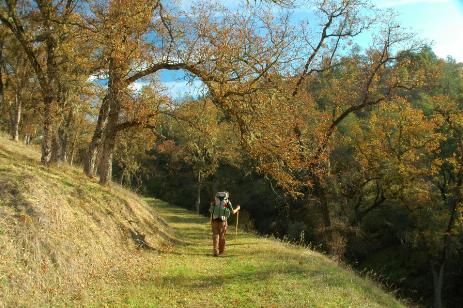
There are a few options for backpacking or primitive camping in Napa County.
The Napa Open Space District allows backpacking and backcountry camping at Berryessa Vista Wilderness Park, a 224-acre park accessible by boat from Lake Berryessa. There are numerous dirt tracks leading from the edge of the lake up into and through the park. Sweeping views of Lake Berryessa, Berryessa Peak, and the surrounding countryside can be had from various locations. The terrain is generally steep and the vegetation is a diverse mixture of Oaks Woodland, Gray Pine Forest, and Chaparral. The closest boat launch is Capell Cove. Please, no open fires, and you’ll need to pack in adequate water.
Other backpacking options are on Bureau of Land Management (BLM) properties:
- Knoxville Recreation Area - Access is west off Berryessa Knoxville Road at Devil’s Head Road, located +/- 17 miles north of the Putah Creek Bridge. Devil’s Head Road is a public gravel road that leads to the hiking, mountain biking, and equestrian trails as well as to the staging area for off-road-vehicles (OHV).
- Lower Hunting Creek - Camping is available at Lower Hunting Creek, located at the intersection of Dunnigan Hill Road and Hunting Creek Road at Hunting Creek. There are no fees, no reservations and availability is on a first-come, first-serve basis. This developed campground has 5 sites with shade structures, vault toilet, trash cans, and 3 overflow campsites. There is no potable water at the site (bring your own drinking water). Cedar Creek, Cement Creek, and Pocock Creek are primitive camps with no facilities. Firewood Gathering: Cutting or removing standing vegetation (live or dead), is strictly prohibited. Use only wood that is both dead and down for firewood.
- Cedar Roughs - In total, the Cedar Roughs Wilderness provides over 6,350 acres of non-mechanical recreational activities including hiking, hunting, fishing, primitive camping, and wildlife viewing. Primitive camping is best experienced October to May. The Cedar Roughs Wilderness is home to the world’s largest, genetically pure stand of Sargent cypress, however due to the remote nature of the area, there isn’t an established trail to the stand. There are multiple access points to the park; you can get there off Pope Canyon Road, via Old Pope Canyon Road and Maxwell Creek, and via Lake Berryessa and Pope Creek- but none are well marked. As hunting is allowed, please be aware of deer, dove and turkey season.
- Maple Springs - A 39 acre parcel approximately 5 miles up Oat Hill Mine Trail. Maple Springs can provide water, but it must be purified prior to use; otherwise there are no facilities.
To learn more about these areas, check out our map.

