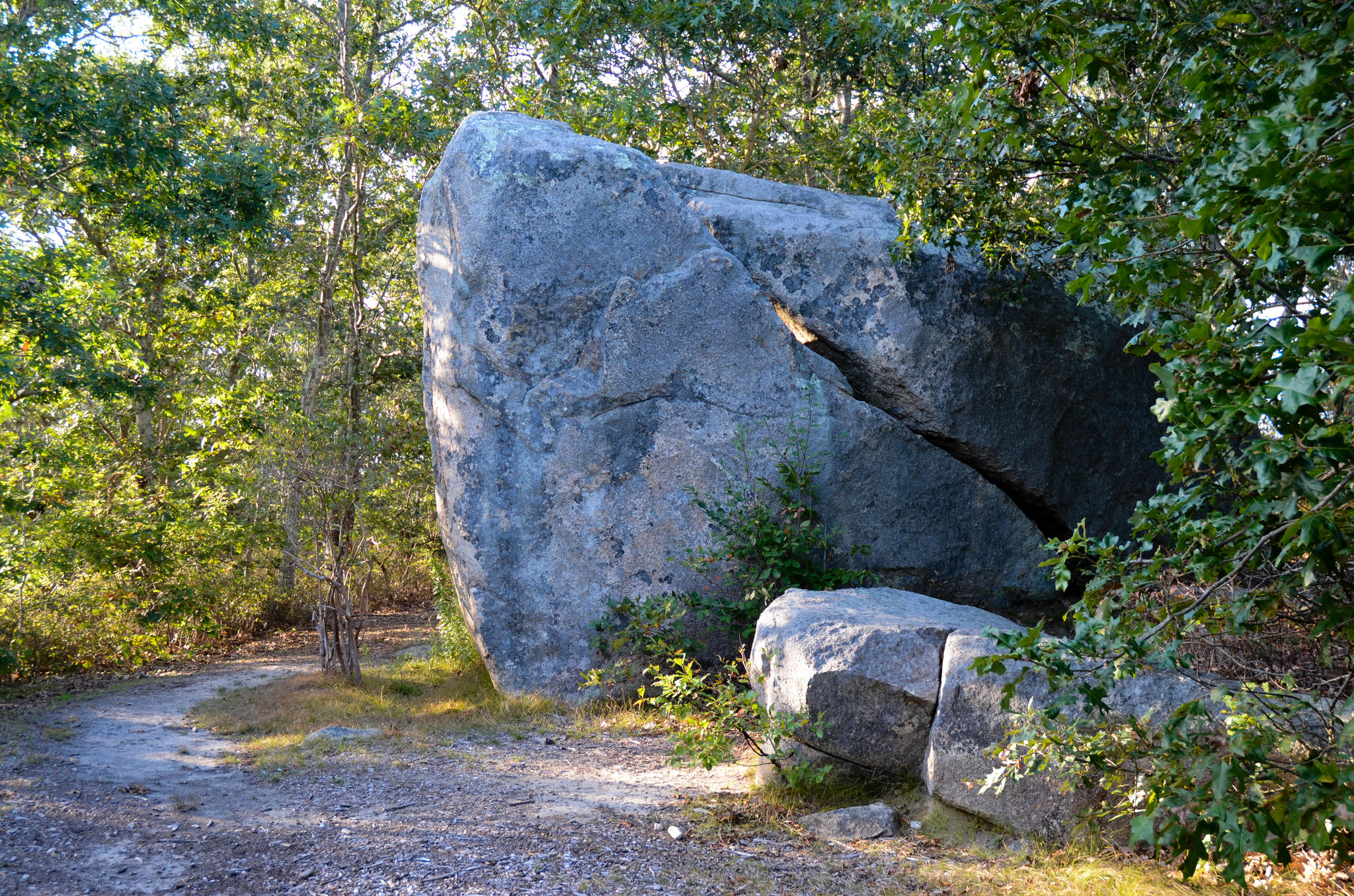
A variety of experiences: Woodlands to south segue into open fields, leading to deeply shaded wetlands along the Mill Brook to the north. Remnants of a 17th century homestead are found in the fields. Atop one of the ridges is the Waskosim’s Rock, a boulder whose shape and location have long figured in Wampanoag and island history. The rock marked the beginning of the “Middle Line,” a stone wall boundary running to the Menemsha Pond in order to separate English and Wampanoag lands in the mid-1600s.
From North Road intersection with State Road in West Tisbury, drive up-island. Cross the Chilmark town line; trailhead is just past it on the left.
