The area that is now Taylorsville MetroPark was once one of the busiest crossroads in the country, the meeting place of major transportation arteries — the Old National Road, Great Miami River, the Miami-Erie Canal and railroads. Today, the area serves as the crossroads of bike trails, hiking trails and river recreation. The park is a gateway to new outdoor experiences, such as running, biking, hiking, fishing and paddling. Your journey is waiting to begin.

Taylorsville MetroPark
Area
0 Reviews
Share
Favorite
Social
Additional Information
Good For
Dogs
Families
Wheelchairs
Activities
Birdwatching
Canoeing
Cross Country Skiing
Dog Walking
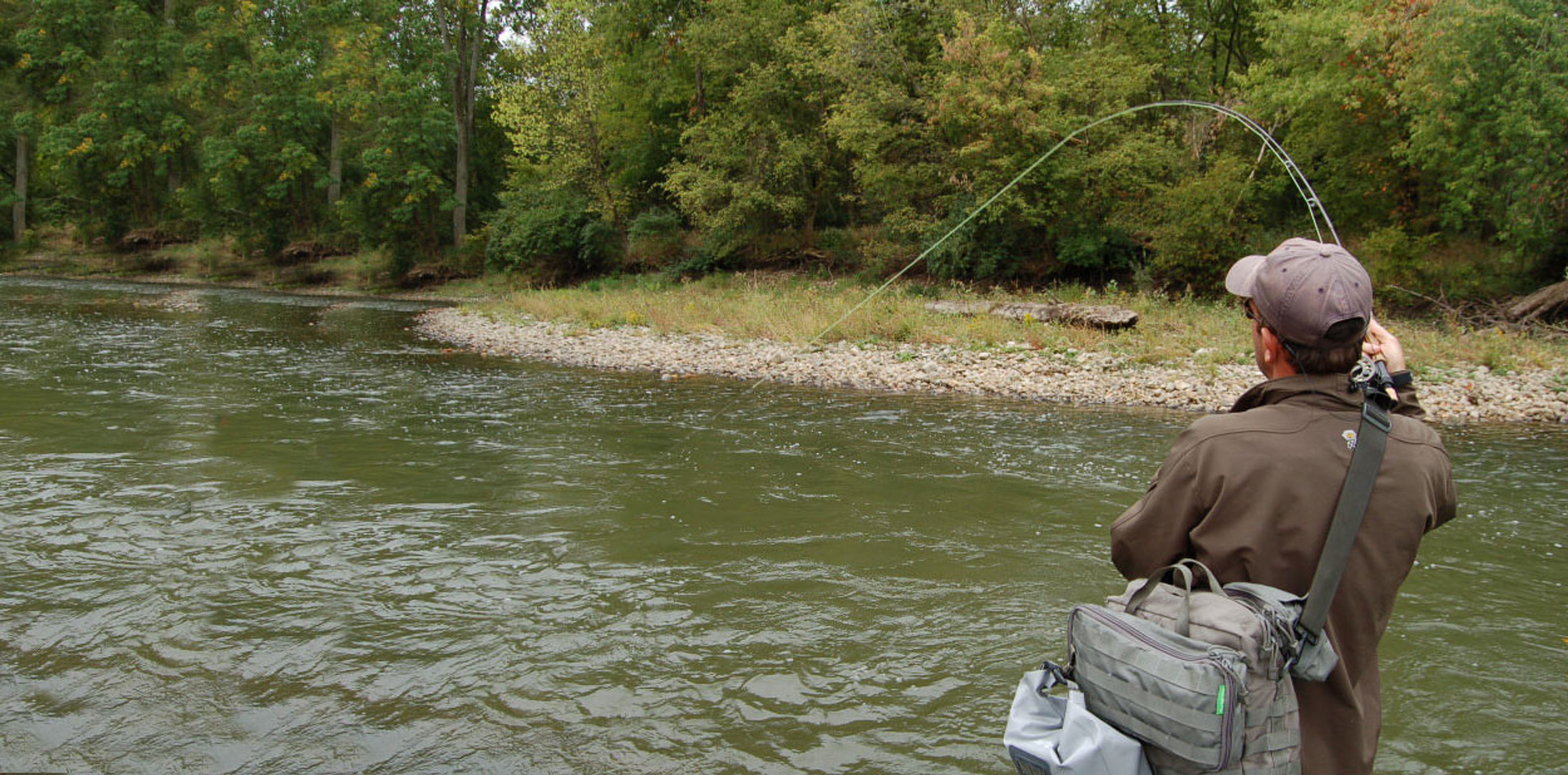
Fishing
Fly Fishing
Geocaching
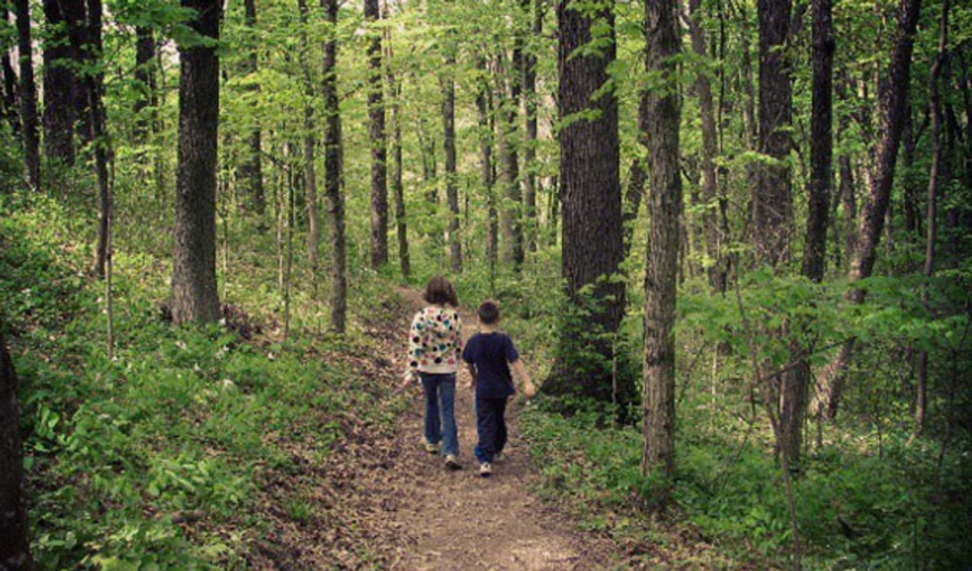
Hiking
Kayaking
Orienteering
Photography
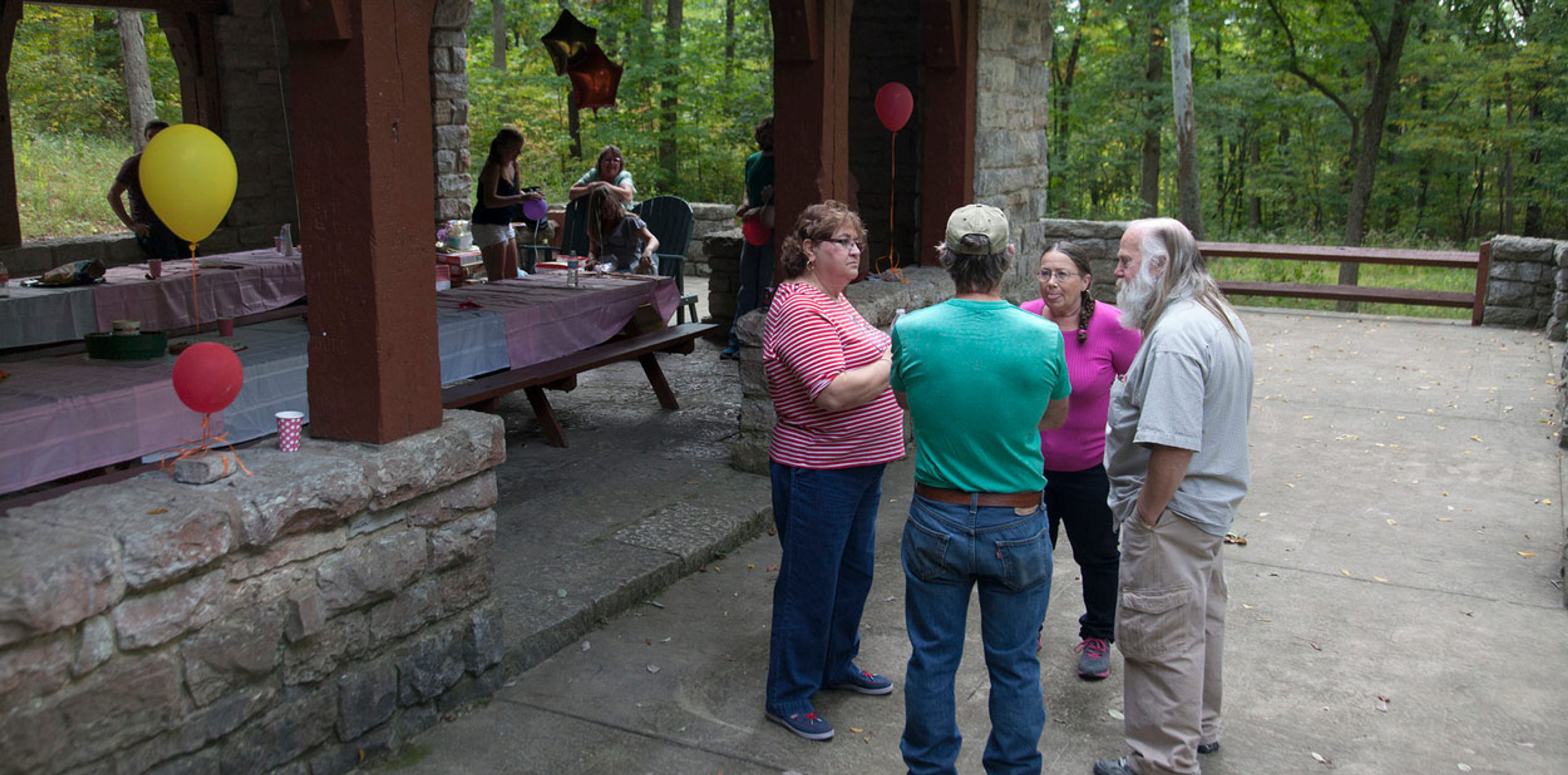
Picnicking
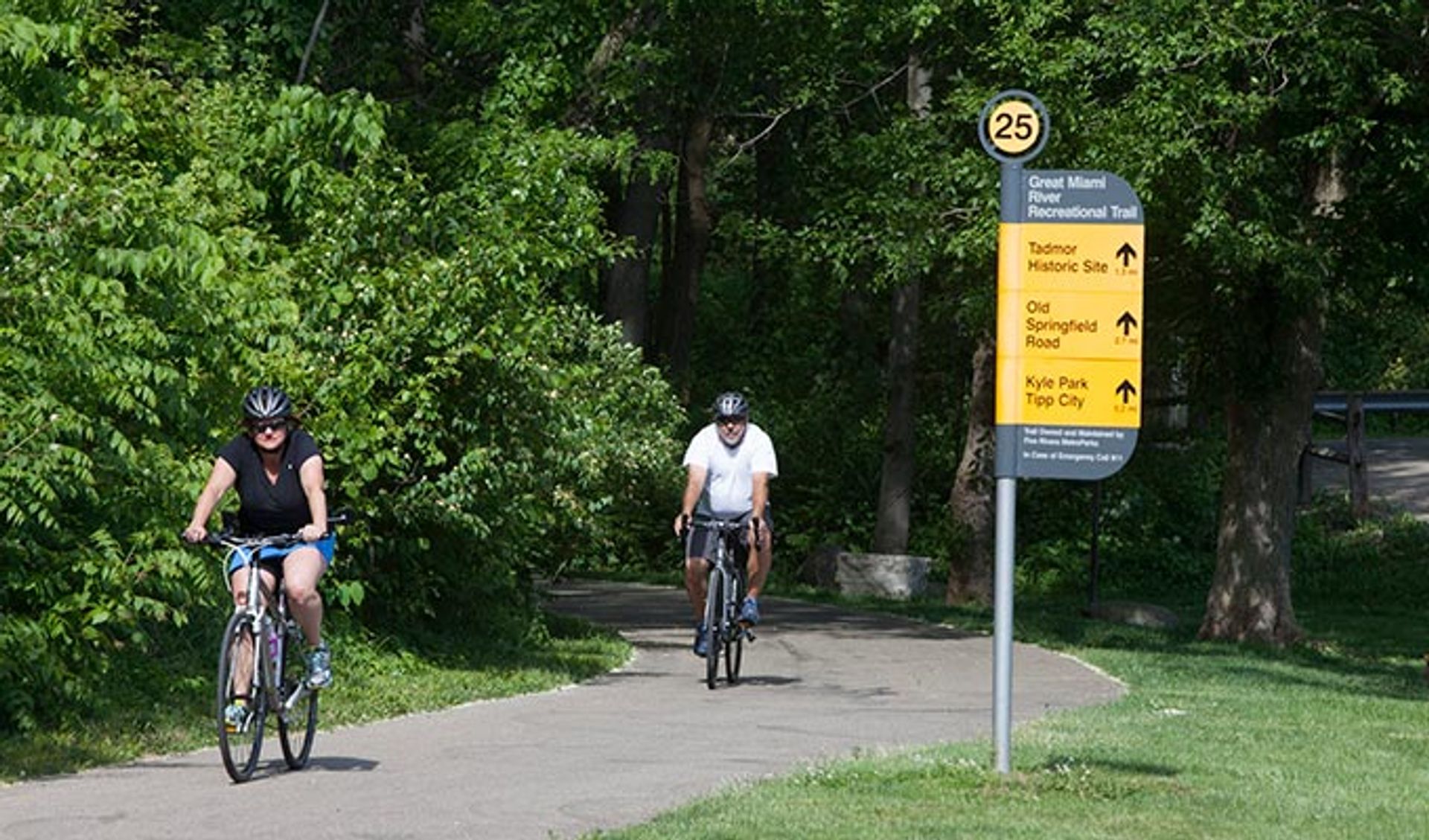
Road Biking
Rollerblading
Sledding
Trail Running
Running
Wildlife Watching
Rules & Regulations
Dogs On Leash
Accessibility Description
Accessible parking available. Accessible restrooms are located in the East, South and West parks as well as in the Reservable Area. The Blue Heron and Hackberry Shelters are ADA accessible.
The Buckeye & North Country Trails
The Buckeye and North Country Trails pass through Taylorsville MetroPark. This section of the Buckeye Trail is part of a 1,440-mile continuous loop that encircles Ohio. The North Country National Scenic Trail stretches across seven states and will be 4,600 miles long when completed. These trails link historical and scenic features, making them accessible and provide long-distance hiking. Learn more about the NCT/BT
Great Miami River Trail
The Great Miami River Trail bisects Taylorsville MetroPark from north to south. Travel to the north end and discover where the village of Tadmor once stood. Along the way look for the remnants of the Miami-Erie Canal. Go south from the dam and stand on an observation deck far above a native meadow. The park is a flat, 10-mile ride to or from RiverScape.
Great Miami River Water Trail
The Great Miami River Water Trail is perfect for paddlers and offers miles of beautiful streamside forests. It was designated as a state water trail in 2010. It flows through Taylorsville, Island, Deed’s Point, RiverScape and Sunrise MetroParks as well as a few protected conservation areas. Taylorsville MetroPark offers a takeout and putin on either side of the Taylorsville Dam.