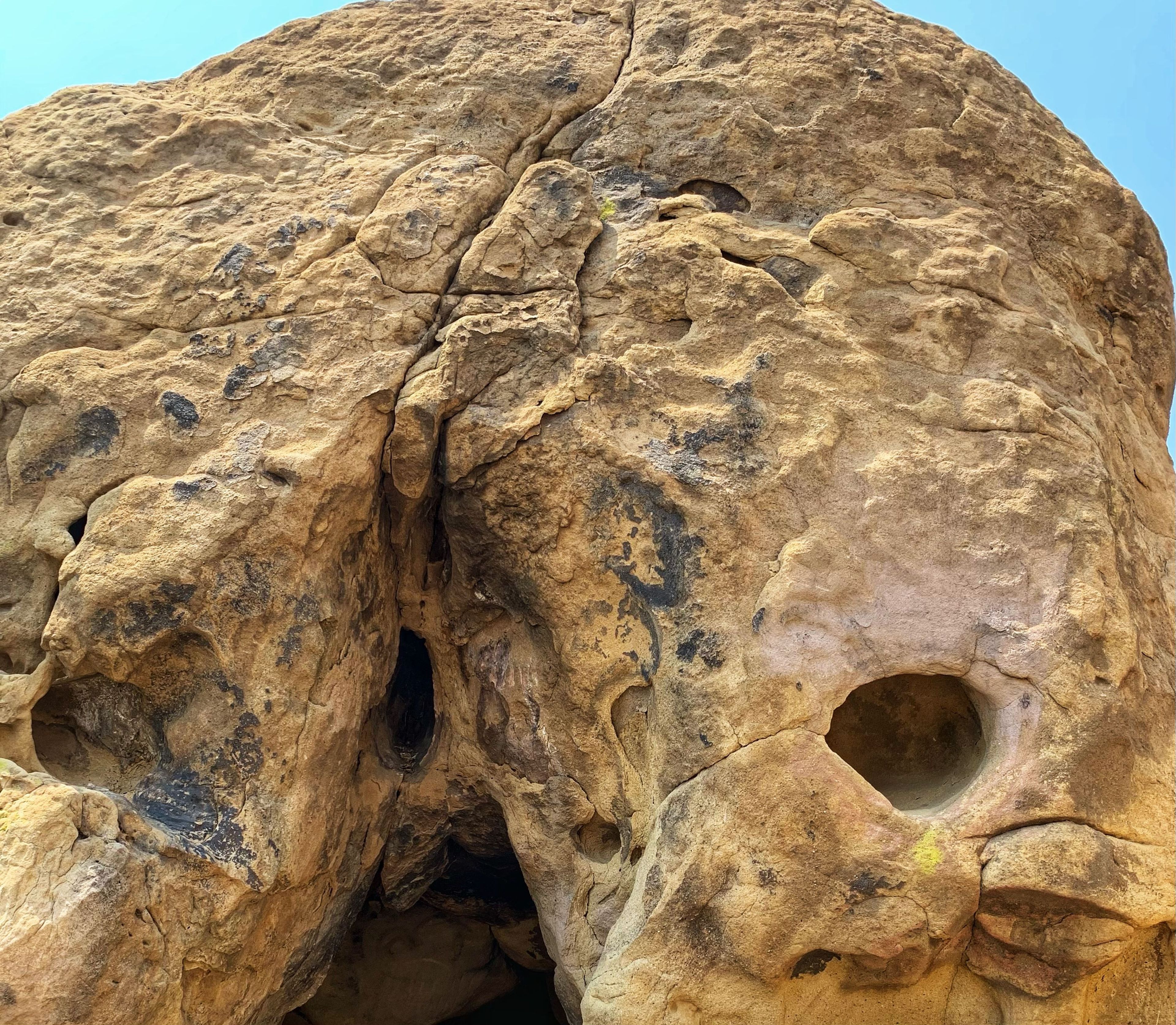
This historic park, located in Los Angeles County where the Simi Hills meet the Santa Susana Mountains, is rich in natural, historical and cultural significance. Here in the western part of the Transverse Ranges, the land is dominated by high, narrow ridges and deep canyons covered with an abundant variety of plant life. The park offers panoramic views of the rugged natural landscape as a striking contrast to the developed communities nearby. The history of Santa Susana Pass includes an ancient Native American trail, rock outcrops used as shelter and storage by native people, and hair-raising stagecoach trips down the Devil’s Slide.


Santa Susana Pass State Historic Park
Area
Additional Information
Good For
Activities
Rules & Regulations
Accessibility Description
Hiking Tips
Until trails are established and marked by California State Parks, please help us preserve the unique natural and cultural features of Santa Susana Pass State Historic Park and observe the following:
Hike only on safe pathways. Veering onto untrodden areas destroys the natural environment and increases your chances of coming into contact with poison oak, rattlesnakes and ticks.
Everything, from the barest twig to the rustiest horseshoe, is now a part of this California State Park. If you see anything suspicious, including the removal or disturbance of our precious resources, please report it immediately.
Know your physical limits. Summer temperatures can reach 100 degrees and the terrain is rugged. Always carry plenty of water.
Don't hike alone. Use the "buddy" system. Tell a friend or family member of your plans. Let them know when you plan to return.
Location/Directions
The best access to the park is from the 10200 block of Larwin Avenue. Take the 118 Freeway to the Topanga Canyon Boulevard exit. Proceed south on Topanga Boulevard approximately one mile. Turn right (west) on Devonshire Street, proceed half a mile, and turn left on Larwin Avenue which is the last street before Devonshire Street ends. The park entrance is on the right under the power lines. Parking is along the residential street. Follow parking street signs.
Other trailhead entrances:
9860 block of Andora Avenue, Chatsworth 91311. Parking is along the residential street. Follow parking street signs.
7700 Block of Lilac Lane, Similar Valley 93063. Parking is available in dirt parking lot.
Natural History
Panoramic views of the wild landscape provide striking contrast to the developed communities nearby. The western part of the Transverse Ranges is dominated by high, narrow ridges and deep canyons covered with a variety of plant life.
- Geology
The park’s distinct sandstone crags are part of the late Cretaceous Chatsworth Formation, formed some 70 million years ago when sediments were shed from uplifting granite mountains into a deep sea debris fan.
- Plant Life
Sandstone rock outcrops shelter the rare Santa Susana tarplant, while the moister slopes support denser vegetation.
Typical shrubs in the canyons include coastal sagebrush, buckwheat, laurel sumac, and chamise. Riparian species such as willow and Mexican elderberry grow well. In larger riparian channels, coast live oak, California walnut, and sycamore create a dense canopy. Spring rains produce mariposa lilies, maroon monkey fowers, and wild lilacs.
- Wildlife
Birds, reptiles, and mammals take advantage of the park’s diverse plant communities, available groundwater, and unusual geologic features. The terrain is part of an important wildlife corridor connecting the San Gabriel, Santa Susana, and Santa Monica mountain ranges. Mule deer, bobcats, coyotes, gray foxes, and even mountain lions can be seen.
- Climate
May through November is usually hot and dry. Cold, rainy winters can send torrents of water over the bedrock, bringing to life intermittent streams and seasonal waterfalls in the park’s upper reaches. Stream channels can food in heavy rains.
Park Hours
8:00am - sunset, daily
Activities
Trail Use: Hike, mountain bike, or ride horses on marked multi-use trails. Most other trails are restricted to hiker and equestrian use only.