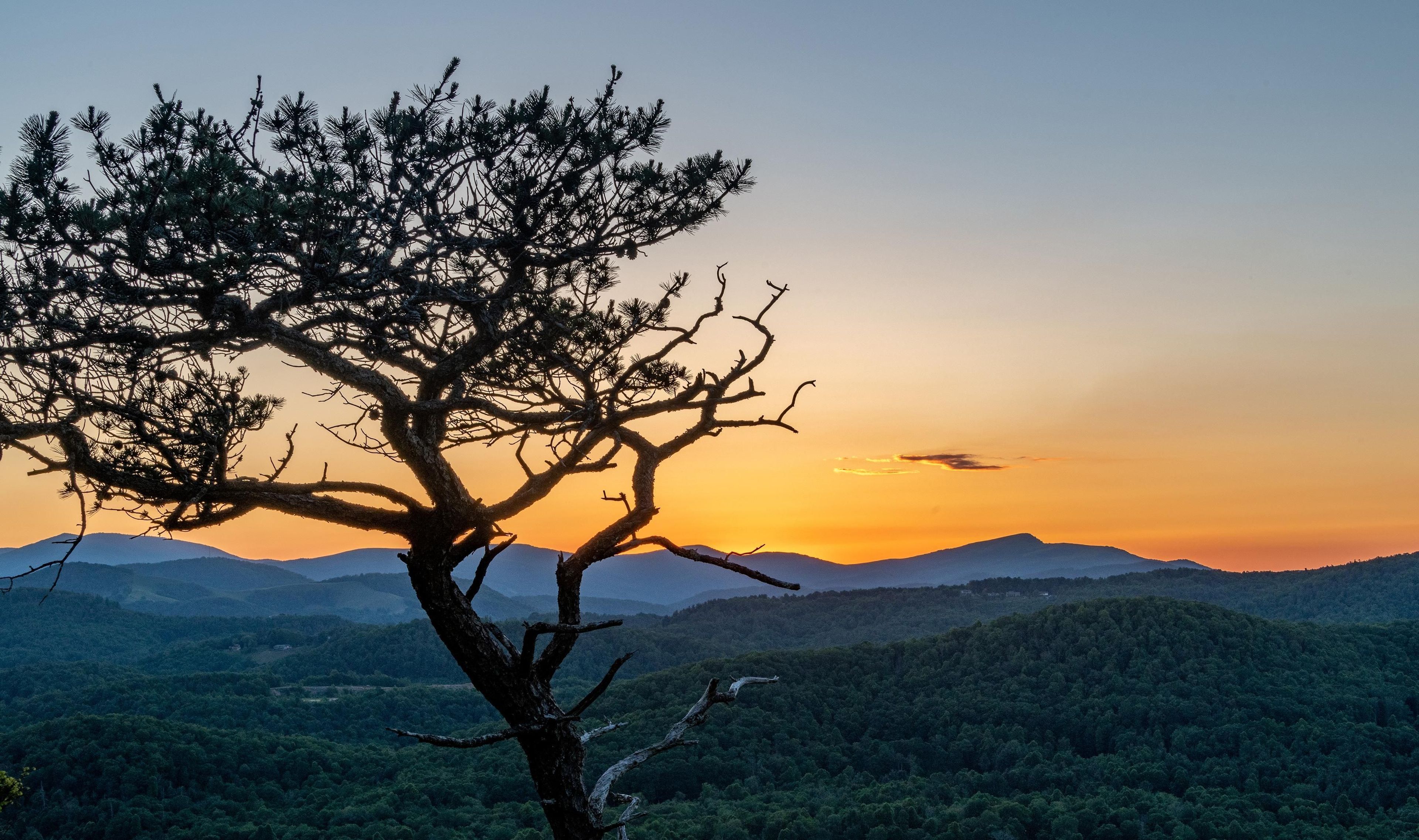
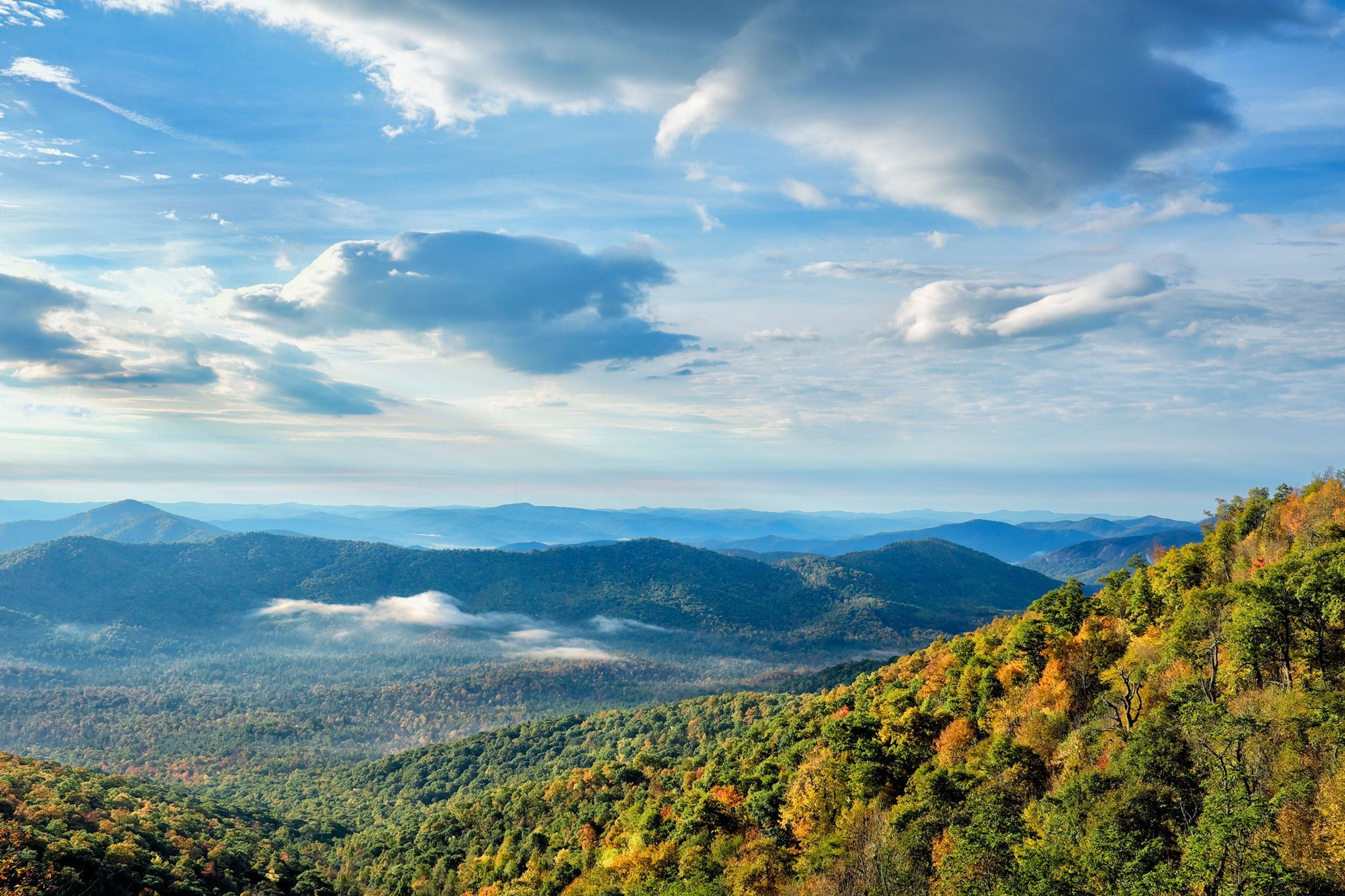
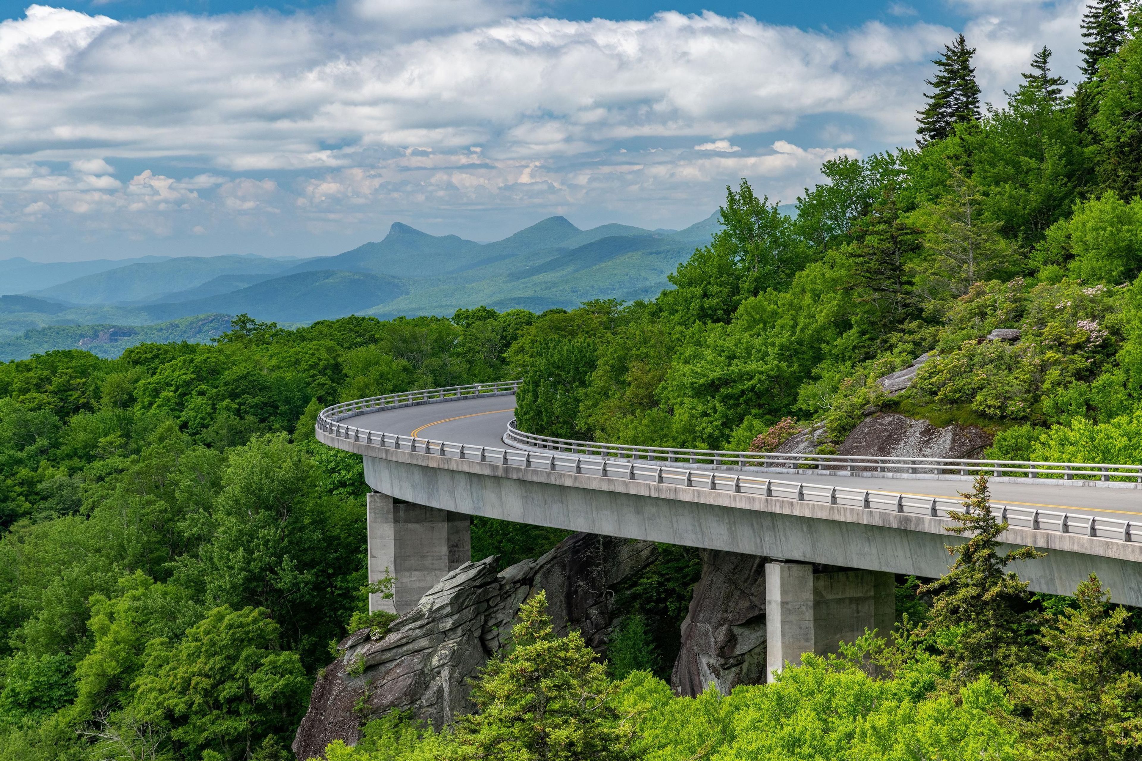
A Blue Ridge Parkway experience is unlike any other: a slow-paced and relaxing drive revealing stunning long-range vistas and close-up views of the rugged mountains and pastoral landscapes of the Appalachian Highlands. The Parkway meanders for 469 miles, protecting a diversity of plants and animals, and providing opportunities for enjoying all that makes this region of the country so special.
Blue Ridge Parkway
Area
0 Reviews
Claim
Share
Favorite
Social
Additional Information
Good For
Wheelchairs
Families
Hearing Impaired
Visually Impaired
Activities
Biking
Boating
Camping
Fishing
Hiking
Atv Riding
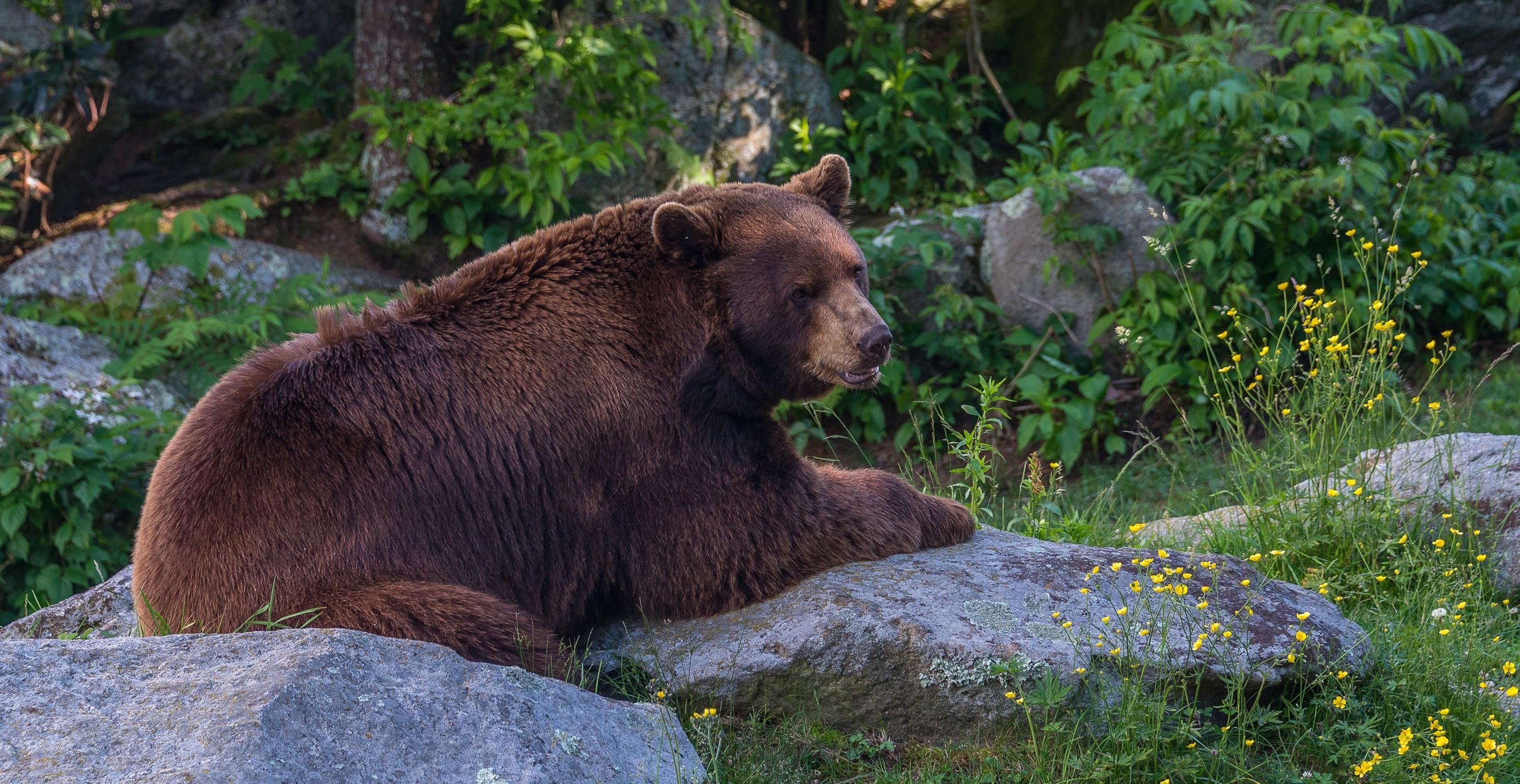
Wildlife Watching
Directions
The parkway is a 469-mile-long scenic road connecting Shenandoah National Park in Virginia to Great Smoky Mountains National Park in North Carolina. Numerous federal and state highways provide access to the parkway. Milepost markers are positioned every mile along the parkway, starting at 0 in Virginia and ending at 469 in North Carolina. We suggest using a map to identify the area you want to visit, as GPS directions often do not incorporate the parkway's milepost system.
Weather
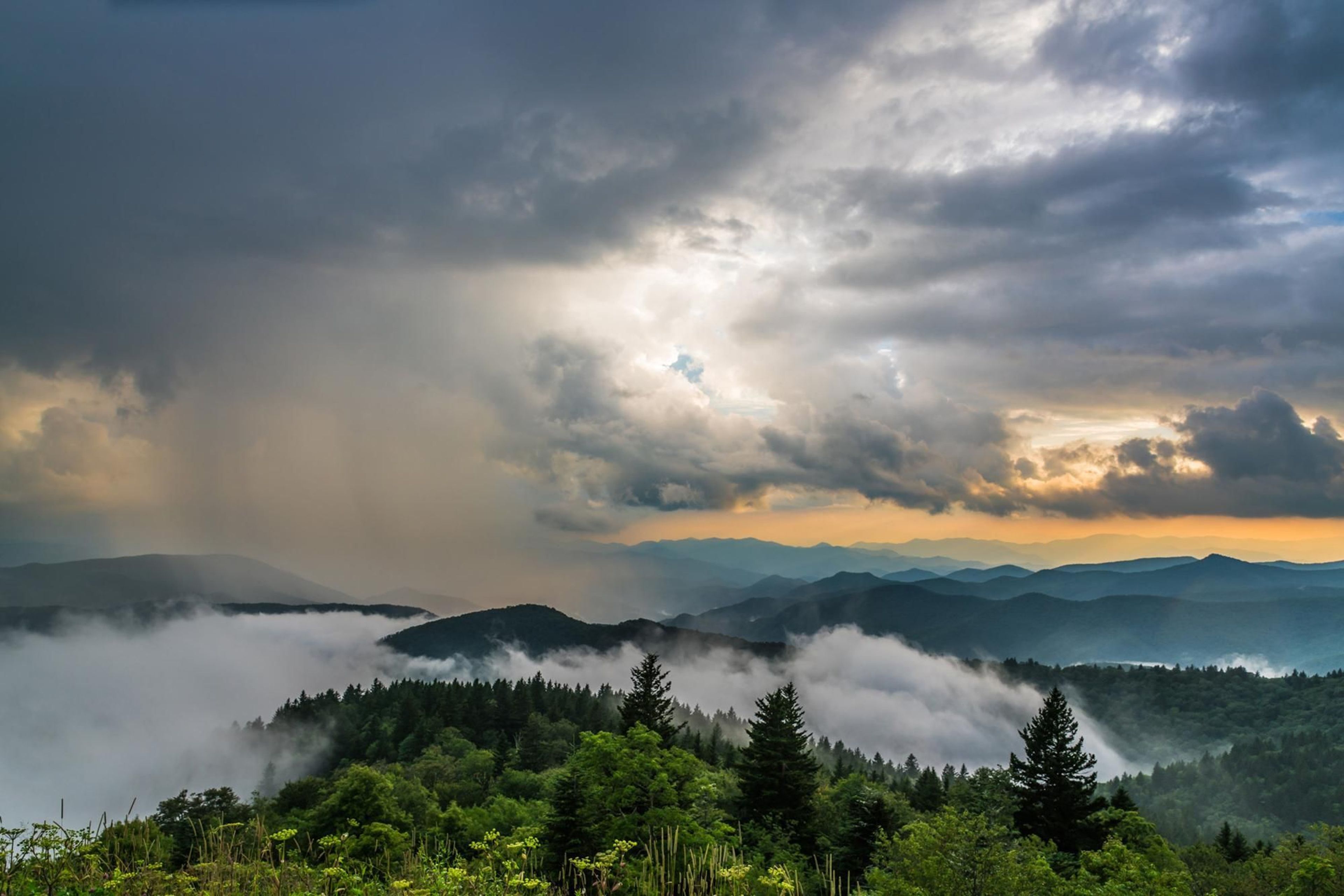
The weather on the parkway can vary widely along its 469-mile route. Precipitation is possible any time of the year. Winter can be cold and snowy, especially at the higher elevations. Spring and fall can have large temperature swings, from near freezing to over 80 degrees Fahrenheit. Summers are hot in the lower elevations, but the highest elevations remain cooler. Summertime thunderstorms are common, so be prepared for weather changes.
No entrance fee
Entrance fee is $0.00.
Driving the parkway is free.